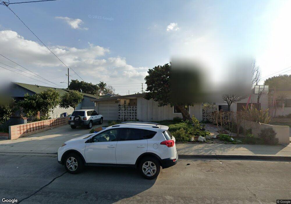
2120 Robinson St Redondo Beach, CA 90278
North Redondo Beach NeighborhoodEstimated Value: $1,376,151 - $1,681,000
3
Beds
2
Baths
1,291
Sq Ft
$1,162/Sq Ft
Est. Value
About This Home
This home is located at 2120 Robinson St, Redondo Beach, CA 90278 and is currently estimated at $1,499,538, approximately $1,161 per square foot. 2120 Robinson St is a home located in Los Angeles County with nearby schools including Lincoln Elementary School, Adams Middle School, and Redondo Union High School.
Ownership History
Date
Name
Owned For
Owner Type
Purchase Details
Closed on
Nov 10, 2009
Sold by
Moore Thelma Hosun and Moore Thelma Hosun
Bought by
Newkirk David
Current Estimated Value
Home Financials for this Owner
Home Financials are based on the most recent Mortgage that was taken out on this home.
Original Mortgage
$339,000
Interest Rate
4.83%
Mortgage Type
New Conventional
Purchase Details
Closed on
Jun 1, 1995
Sold by
Moore Thelma H
Bought by
Moore Thelma Hosun and Thelma Hosun Moore Revocable Trust
Create a Home Valuation Report for This Property
The Home Valuation Report is an in-depth analysis detailing your home's value as well as a comparison with similar homes in the area
Home Values in the Area
Average Home Value in this Area
Purchase History
| Date | Buyer | Sale Price | Title Company |
|---|---|---|---|
| Newkirk David | $589,000 | Lawyers Title | |
| Moore Thelma Hosun | -- | -- |
Source: Public Records
Mortgage History
| Date | Status | Borrower | Loan Amount |
|---|---|---|---|
| Closed | Newkirk David | $339,000 |
Source: Public Records
Tax History
| Year | Tax Paid | Tax Assessment Tax Assessment Total Assessment is a certain percentage of the fair market value that is determined by local assessors to be the total taxable value of land and additions on the property. | Land | Improvement |
|---|---|---|---|---|
| 2025 | $9,115 | $760,279 | $608,228 | $152,051 |
| 2024 | $9,115 | $745,372 | $596,302 | $149,070 |
| 2023 | $8,952 | $730,758 | $584,610 | $146,148 |
| 2022 | $8,790 | $716,431 | $573,148 | $143,283 |
| 2021 | $8,557 | $702,384 | $561,910 | $140,474 |
| 2019 | $8,350 | $681,553 | $545,245 | $136,308 |
| 2018 | $8,087 | $668,190 | $534,554 | $133,636 |
| 2016 | $7,829 | $642,246 | $513,798 | $128,448 |
| 2015 | $7,688 | $632,600 | $506,081 | $126,519 |
| 2014 | $7,578 | $620,209 | $496,168 | $124,041 |
Source: Public Records
Map
Nearby Homes
- 2012 Robinson St
- 2021 Curtis Ave
- 2005 Robinson St Unit B
- 2217 Voorhees Ave
- 2230 Curtis Ave
- 2016 Farrell Ave Unit B
- 2313 Curtis Ave
- 2304 Voorhees Ave
- 2214 Ruhland Ave Unit A
- 2813 Pinckard Ave
- 213 Aviation Place
- 311 Aviation Place
- 2406 Curtis Ave
- 3310 Blossom Ln
- 1852 6th St
- 2105 Mathews Ave Unit 11
- 2313 Nelson Ave Unit A
- 2315 Nelson Ave Unit 1
- 2227 Mathews Ave
- 1769 Gates Ave
- 2118 Robinson St
- 2122 Robinson St
- 2116 Robinson St
- 2121 Graham Ave
- 2119 Graham Ave
- 2123 Graham Ave
- 2200 Robinson St
- 2117 Graham Ave
- 2114 Robinson St
- 2121 Robinson St Unit B
- 2121 Robinson St Unit 2
- 2121 Robinson St Unit 1
- 2119 Robinson St
- 2201 Graham Ave
- 2115 Graham Ave
- 2117 Robinson St
- 2123 Robinson St
- 2803 Rindge Ln
- 2202 Robinson St
- 2201 Robinson St
Your Personal Tour Guide
Ask me questions while you tour the home.