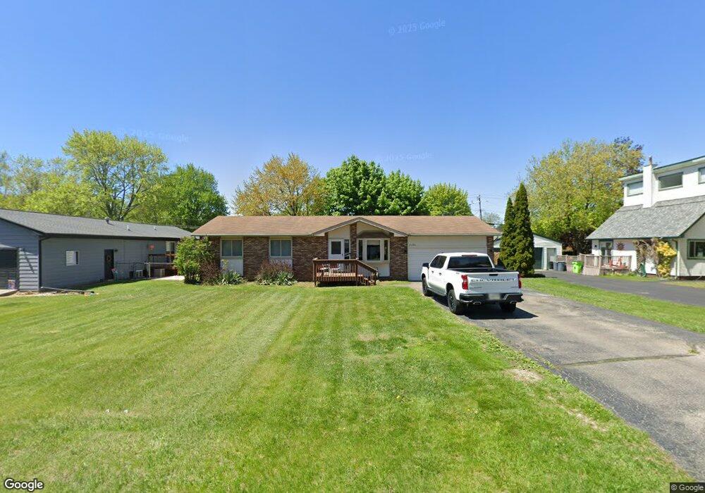
2120 Saint Joseph St Unit Bldg-Unit West Bloomfield, MI 48324
Estimated Value: $270,000 - $301,938
3
Beds
1
Bath
1,008
Sq Ft
$283/Sq Ft
Est. Value
About This Home
This home is located at 2120 Saint Joseph St Unit Bldg-Unit, West Bloomfield, MI 48324 and is currently estimated at $285,735, approximately $283 per square foot. 2120 Saint Joseph St Unit Bldg-Unit is a home located in Oakland County with nearby schools including Walt Whitman Elementary School, Pontiac Middle School, and Pontiac High School.
Ownership History
Date
Name
Owned For
Owner Type
Purchase Details
Closed on
Mar 1, 2018
Sold by
Mero Mario J
Bought by
Edblom Kial
Current Estimated Value
Purchase Details
Closed on
Apr 25, 2007
Sold by
Marchlone Renee M and Mero Renee M
Bought by
Mero Mario J and Mero Mario Julian
Home Financials for this Owner
Home Financials are based on the most recent Mortgage that was taken out on this home.
Original Mortgage
$123,000
Interest Rate
6.5%
Mortgage Type
New Conventional
Purchase Details
Closed on
Jul 20, 1999
Sold by
Dalati Sarih
Bought by
Mero Mario J
Create a Home Valuation Report for This Property
The Home Valuation Report is an in-depth analysis detailing your home's value as well as a comparison with similar homes in the area
Home Values in the Area
Average Home Value in this Area
Purchase History
| Date | Buyer | Sale Price | Title Company |
|---|---|---|---|
| Edblom Kial | $161,800 | Leading Edge Title Agency | |
| Mero Mario J | -- | None Available | |
| Mero Mario J | $131,200 | -- |
Source: Public Records
Mortgage History
| Date | Status | Borrower | Loan Amount |
|---|---|---|---|
| Previous Owner | Mero Mario J | $123,000 |
Source: Public Records
Tax History Compared to Growth
Tax History
| Year | Tax Paid | Tax Assessment Tax Assessment Total Assessment is a certain percentage of the fair market value that is determined by local assessors to be the total taxable value of land and additions on the property. | Land | Improvement |
|---|---|---|---|---|
| 2024 | $1,796 | $124,200 | $0 | $0 |
| 2022 | $1,775 | $108,850 | $24,700 | $84,150 |
| 2021 | $2,660 | $97,870 | $0 | $0 |
| 2020 | $1,489 | $89,830 | $24,700 | $65,130 |
| 2018 | $1,689 | $76,630 | $17,900 | $58,730 |
| 2015 | -- | $59,390 | $0 | $0 |
| 2014 | -- | $54,660 | $0 | $0 |
| 2011 | -- | $61,640 | $0 | $0 |
Source: Public Records
Map
Nearby Homes
- 2468 Walce Dr
- 2216 Middlebelt Rd
- 2230 Middlebelt Rd
- 2084 Woodrow Wilson Blvd Unit A6
- 1796 Briarcliff St
- 2630 Depew Dr
- 1775 Woodland Ave
- 2825 Wall St
- 2820 Wall St
- 2622 Pine Ridge Rd
- 2665 Middlebelt Rd
- 1968 Maplewood Ave
- 2918 Nagle Ct
- 2952 Prynne St
- 1970 Beechmont St
- 1947 Maplewood Ave
- 1785 Ward Rd
- 2411 Pine Lake Ave
- 2960 Glenbroke St
- 2360 Pineview
- 2120 Saint Joseph St
- 2132 Saint Joseph St
- 2106 Saint Joseph St
- 2410 Chata Dr
- 2098 Saint Joseph St
- 2117 Saint Joseph St Unit Bldg-Unit
- 2117 Saint Joseph St
- 2385 Chata Dr
- 2131 Saint Joseph St
- 2088 Saint Joseph St
- 2103 Saint Joseph St
- 2145 Saint Joseph St
- 2091 Saint Joseph St
- 2405 Chata Dr
- 2415 Chata Dr
- 2170 Saint Joseph St
- 2427 Chata Dr
- 2159 Saint Joseph St
- 2070 St Josph
- 2070 St Joseph