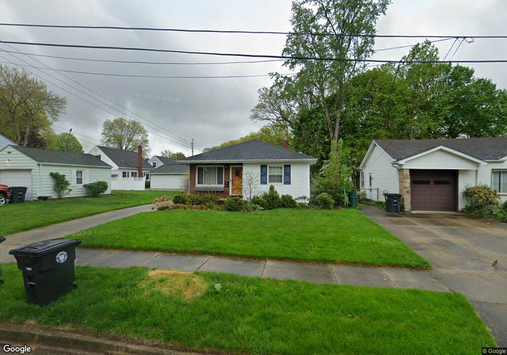
2120 Tyrone St Akron, OH 44312
Ellet NeighborhoodEstimated Value: $147,176 - $157,000
2
Beds
1
Bath
962
Sq Ft
$158/Sq Ft
Est. Value
About This Home
This home is located at 2120 Tyrone St, Akron, OH 44312 and is currently estimated at $151,544, approximately $157 per square foot. 2120 Tyrone St is a home located in Summit County with nearby schools including Ellet High School, Summit Academy Akron Elementary School, and Akron Preparatory school.
Ownership History
Date
Name
Owned For
Owner Type
Purchase Details
Closed on
Aug 6, 2010
Sold by
Durman Geraldine
Bought by
Servodio Marc J
Current Estimated Value
Home Financials for this Owner
Home Financials are based on the most recent Mortgage that was taken out on this home.
Original Mortgage
$56,000
Outstanding Balance
$37,320
Interest Rate
4.7%
Mortgage Type
New Conventional
Estimated Equity
$114,224
Create a Home Valuation Report for This Property
The Home Valuation Report is an in-depth analysis detailing your home's value as well as a comparison with similar homes in the area
Home Values in the Area
Average Home Value in this Area
Purchase History
| Date | Buyer | Sale Price | Title Company |
|---|---|---|---|
| Servodio Marc J | $70,000 | First American Title Akron |
Source: Public Records
Mortgage History
| Date | Status | Borrower | Loan Amount |
|---|---|---|---|
| Open | Servodio Marc J | $56,000 |
Source: Public Records
Tax History
| Year | Tax Paid | Tax Assessment Tax Assessment Total Assessment is a certain percentage of the fair market value that is determined by local assessors to be the total taxable value of land and additions on the property. | Land | Improvement |
|---|---|---|---|---|
| 2024 | $2,276 | $42,980 | $14,770 | $28,210 |
| 2023 | $2,276 | $42,980 | $14,770 | $28,210 |
| 2022 | $1,914 | $28,228 | $9,531 | $18,697 |
| 2021 | $1,916 | $28,228 | $9,531 | $18,697 |
| 2020 | $1,887 | $28,230 | $9,530 | $18,700 |
| 2019 | $1,828 | $24,810 | $8,580 | $16,230 |
| 2018 | $1,803 | $24,810 | $8,580 | $16,230 |
| 2017 | $1,832 | $24,810 | $8,580 | $16,230 |
| 2016 | $1,834 | $24,810 | $8,580 | $16,230 |
| 2015 | $1,832 | $24,810 | $8,580 | $16,230 |
| 2014 | $1,817 | $24,810 | $8,580 | $16,230 |
| 2013 | $1,903 | $26,600 | $8,580 | $18,020 |
Source: Public Records
Map
Nearby Homes
- 260 Prairie Dr
- 282 Schrop Ave
- 82 Dellenberger Ave
- 2331 E Market St
- 274 Fulmer Ave
- 20 Verdun Dr
- 2138 Forest Oak Dr
- 1852 Cramer Ave
- 1832 Springfield Center Rd
- 443 Fulmer Ave
- 2269 Emerald Dr
- 228 Hawk Ave
- 483 Hillman Rd
- 472 Stephens Rd
- 2258 Mogadore Rd
- 405 Baldwin Rd
- 490 Stephens Rd
- 84 Pfeiffer Ave
- 590 & 592 Herbert Rd
- 584 Hilbish Ave
- 2112 Tyrone St
- 2130 Tyrone St
- 306 Prairie Dr
- 2115 Tyrone St
- 312 Prairie Dr
- 2127 Tyrone St
- 316 Prairie Dr
- 290 Gleason Ave
- 295 Prairie Dr
- 274 Gleason Ave
- 282 Prairie Dr
- 305 Prairie Dr
- 269 Gleason Ave
- 282 Gleason Ave
- 2141 Tyrone St
- 2105 Wedgewood Dr
- 2091 Wedgewood Dr
- 311 Prairie Dr
- 311 Prairie Dr
- 274 Prairie Dr
Your Personal Tour Guide
Ask me questions while you tour the home.