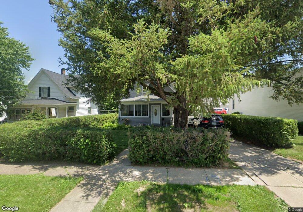
2121 Belle Ave Davenport, IA 52803
East End NeighborhoodEstimated Value: $156,000 - $178,803
3
Beds
1
Bath
1,377
Sq Ft
$121/Sq Ft
Est. Value
About This Home
This home is located at 2121 Belle Ave, Davenport, IA 52803 and is currently estimated at $167,201, approximately $121 per square foot. 2121 Belle Ave is a home located in Scott County with nearby schools including McKinley Elementary School, Sudlow Intermediate School, and Central High School.
Ownership History
Date
Name
Owned For
Owner Type
Purchase Details
Closed on
Nov 19, 2008
Sold by
Schrader Michael D and Schrader Denise R
Bought by
Rikke Ii Steven H and Rikke Amber L
Current Estimated Value
Home Financials for this Owner
Home Financials are based on the most recent Mortgage that was taken out on this home.
Original Mortgage
$87,840
Outstanding Balance
$57,289
Interest Rate
5.95%
Mortgage Type
FHA
Estimated Equity
$109,912
Purchase Details
Closed on
Jun 27, 2008
Sold by
Zindel Kenneth K and Zindel Ruth
Bought by
Schrader Michael D and Schrader Denise R
Home Financials for this Owner
Home Financials are based on the most recent Mortgage that was taken out on this home.
Original Mortgage
$83,686
Interest Rate
6.05%
Mortgage Type
Purchase Money Mortgage
Create a Home Valuation Report for This Property
The Home Valuation Report is an in-depth analysis detailing your home's value as well as a comparison with similar homes in the area
Home Values in the Area
Average Home Value in this Area
Purchase History
| Date | Buyer | Sale Price | Title Company |
|---|---|---|---|
| Rikke Ii Steven H | $89,000 | None Available | |
| Schrader Michael D | $85,000 | None Available |
Source: Public Records
Mortgage History
| Date | Status | Borrower | Loan Amount |
|---|---|---|---|
| Open | Rikke Ii Steven H | $87,840 | |
| Previous Owner | Schrader Michael D | $83,686 |
Source: Public Records
Tax History Compared to Growth
Tax History
| Year | Tax Paid | Tax Assessment Tax Assessment Total Assessment is a certain percentage of the fair market value that is determined by local assessors to be the total taxable value of land and additions on the property. | Land | Improvement |
|---|---|---|---|---|
| 2025 | $2,378 | $159,740 | $28,080 | $131,660 |
| 2024 | $2,569 | $143,290 | $28,080 | $115,210 |
| 2023 | $2,140 | $143,290 | $28,080 | $115,210 |
| 2022 | $2,026 | $103,350 | $25,740 | $77,610 |
| 2021 | $2,026 | $103,350 | $25,740 | $77,610 |
| 2020 | $1,993 | $95,140 | $25,740 | $69,400 |
| 2019 | $1,842 | $90,660 | $25,740 | $64,920 |
| 2018 | $1,800 | $90,660 | $25,740 | $64,920 |
| 2017 | $504 | $90,660 | $25,740 | $64,920 |
| 2016 | $1,680 | $85,440 | $0 | $0 |
| 2015 | $1,680 | $88,530 | $0 | $0 |
| 2014 | $1,772 | $88,530 | $0 | $0 |
| 2013 | $1,738 | $0 | $0 | $0 |
| 2012 | -- | $94,170 | $23,250 | $70,920 |
Source: Public Records
Map
Nearby Homes
- 2103 E Lombard St
- 1815 Belle Ave
- 1803 Belle Ave
- 2209 Spring Ct
- 1709 Christie St
- 1619 Christie St
- 2458 E Central Park Ave
- 1734 Ridgewood Ave
- 1704 Jersey Ridge Rd
- 2704 E High St
- 2131 Lorton Ave
- 2706 Ridgewood Ave
- 1504 Christie St
- 2116 Eastern Ave
- 2234 Fairhaven Rd
- 49 Kenwood Ave
- 2122 E 12th St
- 1814 E 13th St
- 2030 Esplanade Ave
- 2718 Fairhaven Rd