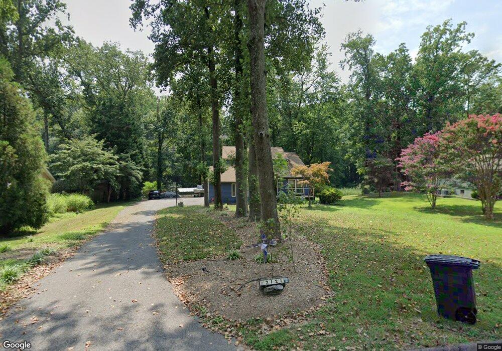
2121 Harbor Dr Annapolis, MD 21409
Pendennis Mount NeighborhoodEstimated Value: $917,000 - $1,425,000
4
Beds
4
Baths
2,266
Sq Ft
$534/Sq Ft
Est. Value
About This Home
This home is located at 2121 Harbor Dr, Annapolis, MD 21409 and is currently estimated at $1,209,212, approximately $533 per square foot. 2121 Harbor Dr is a home located in Anne Arundel County with nearby schools including Cape St. Claire Elementary School, Magothy River Middle School, and Broadneck High School.
Ownership History
Date
Name
Owned For
Owner Type
Purchase Details
Closed on
Jul 31, 2015
Sold by
Wilson Jeffrey D and French Kerry E
Bought by
Wilson Jeffrey D
Current Estimated Value
Home Financials for this Owner
Home Financials are based on the most recent Mortgage that was taken out on this home.
Original Mortgage
$460,000
Outstanding Balance
$362,401
Interest Rate
4.08%
Mortgage Type
New Conventional
Estimated Equity
$846,811
Purchase Details
Closed on
Feb 23, 1999
Sold by
Mackenzie Frank G
Bought by
French Kerry E and Wilson Jeffrey D
Purchase Details
Closed on
May 1, 1986
Sold by
Madigan Emmett P
Bought by
Mackenzie Frank G
Home Financials for this Owner
Home Financials are based on the most recent Mortgage that was taken out on this home.
Original Mortgage
$154,200
Interest Rate
9.86%
Create a Home Valuation Report for This Property
The Home Valuation Report is an in-depth analysis detailing your home's value as well as a comparison with similar homes in the area
Home Values in the Area
Average Home Value in this Area
Purchase History
| Date | Buyer | Sale Price | Title Company |
|---|---|---|---|
| Wilson Jeffrey D | -- | Capitol Title Ins Agency Inc | |
| French Kerry E | $350,000 | -- | |
| Mackenzie Frank G | $55,000 | -- |
Source: Public Records
Mortgage History
| Date | Status | Borrower | Loan Amount |
|---|---|---|---|
| Open | Wilson Jeffrey D | $460,000 | |
| Previous Owner | Mackenzie Frank G | $154,200 |
Source: Public Records
Tax History
| Year | Tax Paid | Tax Assessment Tax Assessment Total Assessment is a certain percentage of the fair market value that is determined by local assessors to be the total taxable value of land and additions on the property. | Land | Improvement |
|---|---|---|---|---|
| 2025 | $6,002 | $1,105,567 | -- | -- |
| 2024 | $6,002 | $1,010,100 | $748,000 | $262,100 |
| 2023 | $5,787 | $881,933 | $0 | $0 |
| 2022 | $5,373 | $753,767 | $0 | $0 |
| 2020 | $5,092 | $614,767 | $0 | $0 |
| 2019 | $5,006 | $603,933 | $0 | $0 |
| 2018 | $6,014 | $593,100 | $389,000 | $204,100 |
| 2017 | $4,728 | $593,100 | $0 | $0 |
| 2016 | -- | $593,100 | $0 | $0 |
| 2015 | -- | $621,900 | $0 | $0 |
| 2014 | -- | $621,900 | $0 | $0 |
Source: Public Records
Map
Nearby Homes
- 160 Foxhead Manor Rd
- 1546 Shipsview Rd
- Lot 161 Foxhead Manor Rd
- 1016 E College Pkwy
- 1349 Yorktown Rd
- 1154 Willow Ln
- 1656 Tim Tam Ct
- 402 Cranes Roost Ct
- 1590 Secretariat Dr
- 500 Wood Duck Ln
- 618 Snow Goose Ln
- 1655 Cananaro Dr
- 1014 St Charles Dr
- 1036 Mountain Top Dr
- 1148 Riverview Dr
- 1524 Cedar Lane Farm Rd
- 1258 Cape st Claire Rd
- 1155 Bayview Vista
- 1045 Saint Margarets Dr
- 1382 Almond Dr
Your Personal Tour Guide
Ask me questions while you tour the home.