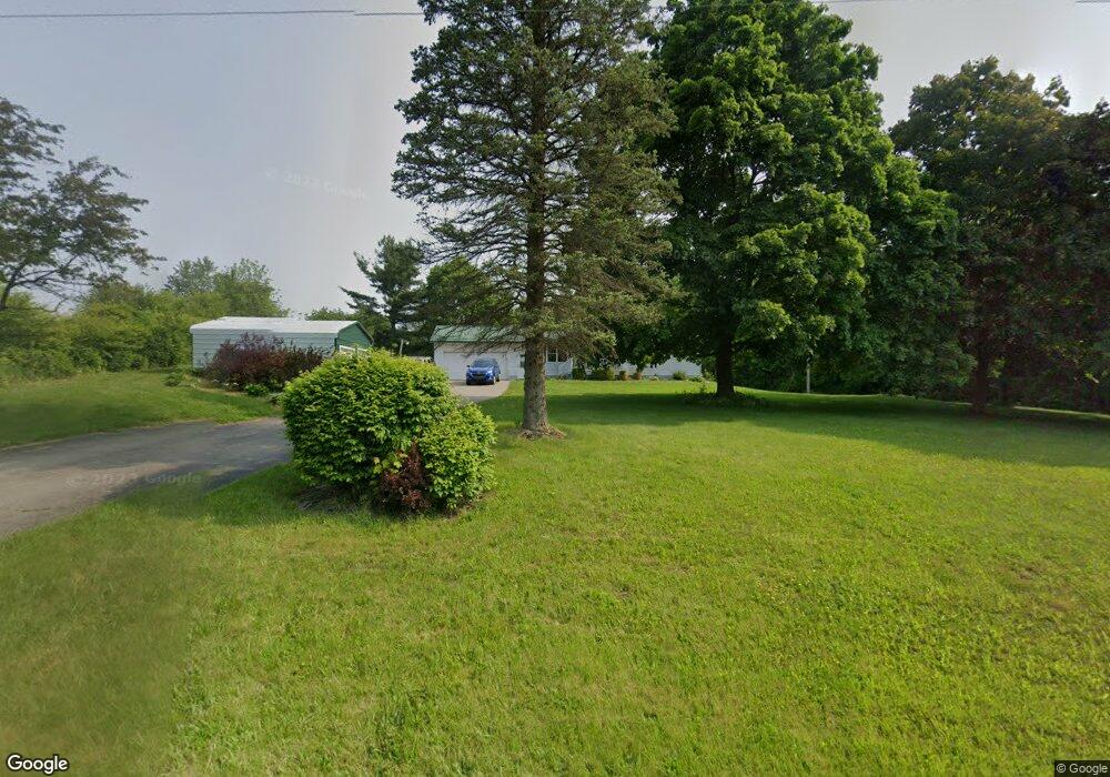
2121 Mansfield Lucas Rd Mansfield, OH 44903
Estimated Value: $257,000 - $293,000
3
Beds
3
Baths
1,454
Sq Ft
$193/Sq Ft
Est. Value
About This Home
This home is located at 2121 Mansfield Lucas Rd, Mansfield, OH 44903 and is currently estimated at $280,872, approximately $193 per square foot. 2121 Mansfield Lucas Rd is a home located in Richland County with nearby schools including Lucas Elementary School, Lucas Heritage Middle School, and Lucas High School.
Ownership History
Date
Name
Owned For
Owner Type
Purchase Details
Closed on
May 10, 2023
Sold by
Sutherland Family Trust
Bought by
Sutherland Irrevocable Trust
Current Estimated Value
Purchase Details
Closed on
Feb 18, 2004
Sold by
Sutherland Denney Ray and Sutherland Suevondia
Bought by
Sutherland Denney Ray and Sutherland Suevondia
Purchase Details
Closed on
Apr 1, 1987
Create a Home Valuation Report for This Property
The Home Valuation Report is an in-depth analysis detailing your home's value as well as a comparison with similar homes in the area
Home Values in the Area
Average Home Value in this Area
Purchase History
| Date | Buyer | Sale Price | Title Company |
|---|---|---|---|
| Sutherland Irrevocable Trust | $125 | None Listed On Document | |
| Sutherland Irrevocable Trust | $125 | None Listed On Document | |
| Sutherland Denney Ray | -- | -- | |
| -- | $72,000 | -- |
Source: Public Records
Tax History Compared to Growth
Tax History
| Year | Tax Paid | Tax Assessment Tax Assessment Total Assessment is a certain percentage of the fair market value that is determined by local assessors to be the total taxable value of land and additions on the property. | Land | Improvement |
|---|---|---|---|---|
| 2024 | $2,787 | $73,370 | $19,270 | $54,100 |
| 2023 | $2,787 | $73,370 | $19,270 | $54,100 |
| 2022 | $2,387 | $56,450 | $16,540 | $39,910 |
| 2021 | $2,426 | $56,450 | $16,540 | $39,910 |
| 2020 | $2,305 | $56,450 | $16,540 | $39,910 |
| 2019 | $1,994 | $47,350 | $13,870 | $33,480 |
| 2018 | $2,051 | $47,350 | $13,870 | $33,480 |
| 2017 | $1,932 | $47,350 | $13,870 | $33,480 |
| 2016 | $1,799 | $42,450 | $11,800 | $30,650 |
| 2015 | $1,730 | $42,450 | $11,800 | $30,650 |
| 2014 | $1,740 | $42,450 | $11,800 | $30,650 |
| 2012 | $884 | $43,770 | $12,170 | $31,600 |
Source: Public Records
Map
Nearby Homes
- 1875 Mansfield Lucas Rd
- 1679 Pulver Rd
- 929 Antionette Dr
- 2061 Washington North Rd
- 0 State Route 39 & I-71 Southeast Quadrant
- 0 State Route 39 & I-71 Northeast Quadrant
- 0 Woodville Rd Unit Lot 14952, 14953
- 0 Woodville Rd Unit Lot 14954, 14955
- 0 Woodville Rd Unit Lot 14956, 14957,
- 1135 E Hanley Rd
- 794 Mansfield Washington Rd
- 716 Mansfield Washington Rd
- 0 Garver Washington Rd S
- 174 W Main St
- 405 Plainview Ave
- 1599 S Main St
- 369 Davidson St
- 419 Pearl Ave
- 1680 S Main St
- 36 Ridge Rd S
- 2080 Mansfield Lucas Rd
- 2115 Mansfield Lucas Rd
- 2125 Mansfield Lucas Rd
- 2027 Mansfield Lucas Rd
- 2066 Mansfield Lucas Rd
- 2127 Mansfield Lucas Rd
- 2102 Mansfield Lucas Rd
- 2130 Mansfield Lucas Rd
- 2026 Mansfield Lucas Rd
- 2112 Mansfield Lucas Rd
- 1452 Resthaven Dr
- 1446 Resthaven Dr
- 1478 Resthaven Dr
- 2169 Mansfield Lucas Rd
- 2164 Mansfield Lucas Rd
- 1450 Resthaven Dr
- 2040 Mansfield Lucas Rd
- 1460 Resthaven Dr
- 1468 Resthaven Dr
- 2030 Mansfield Lucas Rd