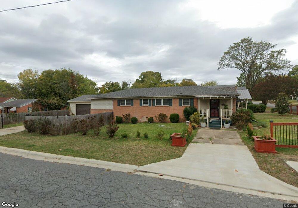
2122 Howard St Little Rock, AR 72202
Central High NeighborhoodEstimated Value: $97,000 - $213,000
--
Bed
1
Bath
2,573
Sq Ft
$53/Sq Ft
Est. Value
About This Home
This home is located at 2122 Howard St, Little Rock, AR 72202 and is currently estimated at $136,535, approximately $53 per square foot. 2122 Howard St is a home located in Pulaski County with nearby schools including Stephens Elementary School, Dunbar Magnet Middle School, and Central High School.
Ownership History
Date
Name
Owned For
Owner Type
Purchase Details
Closed on
Jul 14, 2014
Sold by
U S Bank National Association
Bought by
Art Porter Music Education Inc
Current Estimated Value
Purchase Details
Closed on
Feb 19, 2014
Sold by
Mccrary Timothy H
Bought by
U S Bank National Association
Purchase Details
Closed on
Dec 15, 2000
Sold by
Porter Thelma P
Bought by
Mccrary Timothy H
Home Financials for this Owner
Home Financials are based on the most recent Mortgage that was taken out on this home.
Original Mortgage
$55,600
Interest Rate
12.37%
Create a Home Valuation Report for This Property
The Home Valuation Report is an in-depth analysis detailing your home's value as well as a comparison with similar homes in the area
Home Values in the Area
Average Home Value in this Area
Purchase History
| Date | Buyer | Sale Price | Title Company |
|---|---|---|---|
| Art Porter Music Education Inc | -- | None Available | |
| U S Bank National Association | $51,850 | None Available | |
| Mccrary Timothy H | $70,000 | -- |
Source: Public Records
Mortgage History
| Date | Status | Borrower | Loan Amount |
|---|---|---|---|
| Previous Owner | Mccrary Timothy H | $55,600 |
Source: Public Records
Tax History Compared to Growth
Tax History
| Year | Tax Paid | Tax Assessment Tax Assessment Total Assessment is a certain percentage of the fair market value that is determined by local assessors to be the total taxable value of land and additions on the property. | Land | Improvement |
|---|---|---|---|---|
| 2025 | $751 | $10,730 | $900 | $9,830 |
| 2024 | $751 | $10,730 | $900 | $9,830 |
| 2023 | $751 | $10,730 | $900 | $9,830 |
| 2022 | $751 | $10,730 | $900 | $9,830 |
| 2021 | $751 | $10,730 | $900 | $9,830 |
| 2020 | $751 | $10,730 | $900 | $9,830 |
| 2019 | $751 | $10,730 | $900 | $9,830 |
| 2018 | $751 | $10,730 | $900 | $9,830 |
| 2017 | $424 | $8,530 | $900 | $7,630 |
| 2016 | $385 | $5,500 | $1,600 | $3,900 |
| 2015 | $386 | $5,500 | $1,600 | $3,900 |
| 2014 | $386 | $5,500 | $1,600 | $3,900 |
Source: Public Records
Map
Nearby Homes
- 2220 W 22nd St
- 2213 Dennison St
- 1817 S Park St
- 2100 S Battery St
- 1921 Wright Ave
- 1905 S Battery St
- 2211 W 17th St
- 3214 Wolfe St
- 2103 Wolfe St
- 2405 S Battery St
- 1724 W 19th St
- 1910 S Woodrow St
- 1616 Dennison St
- 2600 S Battery St
- 2417 Wolfe St
- 1609 W Charles Bussey Ave
- 1623 W 24th St
- 2600 Wolfe St
- 1524 W 22nd St
- 1509 W 19th St
- 2114 Howard St
- 2216 W 22nd St
- 2108 Howard St
- 2200 Howard St
- 2218 W 22nd St
- 2106 Howard St
- 2105 Dennison St
- 2204 Howard St
- 2201 Dennison St
- S Dennison St
- 2201 S Dennison St
- 2123 Howard St
- 2117 Howard St
- 2100 Howard St
- 2103 Dennison St
- 2205 Dennison St
- 2115 Howard St
- 2201 Howard St
- 2101 Dennison St
- 2105 Howard St