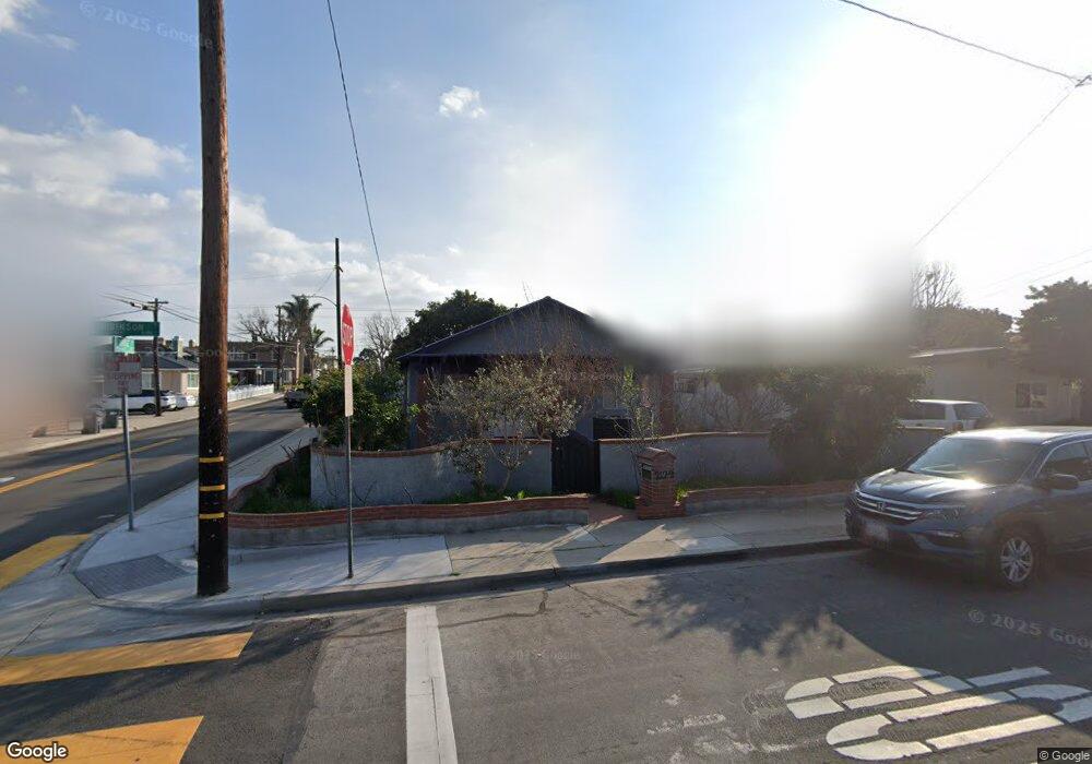
2122 Robinson St Redondo Beach, CA 90278
North Redondo Beach NeighborhoodEstimated Value: $1,305,031 - $1,601,000
3
Beds
2
Baths
1,306
Sq Ft
$1,116/Sq Ft
Est. Value
About This Home
This home is located at 2122 Robinson St, Redondo Beach, CA 90278 and is currently estimated at $1,457,758, approximately $1,116 per square foot. 2122 Robinson St is a home located in Los Angeles County with nearby schools including Lincoln Elementary School, Adams Middle School, and Redondo Union High School.
Ownership History
Date
Name
Owned For
Owner Type
Purchase Details
Closed on
Dec 17, 1993
Sold by
Gomez Paul Arthur and Gomez Virginia N
Bought by
Schwarzbek Stephen
Current Estimated Value
Home Financials for this Owner
Home Financials are based on the most recent Mortgage that was taken out on this home.
Original Mortgage
$157,500
Interest Rate
7.29%
Create a Home Valuation Report for This Property
The Home Valuation Report is an in-depth analysis detailing your home's value as well as a comparison with similar homes in the area
Home Values in the Area
Average Home Value in this Area
Purchase History
| Date | Buyer | Sale Price | Title Company |
|---|---|---|---|
| Schwarzbek Stephen | $175,000 | Stewart Title |
Source: Public Records
Mortgage History
| Date | Status | Borrower | Loan Amount |
|---|---|---|---|
| Closed | Schwarzbek Stephen | $157,500 |
Source: Public Records
Tax History Compared to Growth
Tax History
| Year | Tax Paid | Tax Assessment Tax Assessment Total Assessment is a certain percentage of the fair market value that is determined by local assessors to be the total taxable value of land and additions on the property. | Land | Improvement |
|---|---|---|---|---|
| 2025 | $4,103 | $297,417 | $237,947 | $59,470 |
| 2024 | $4,103 | $291,586 | $233,282 | $58,304 |
| 2023 | $4,038 | $285,869 | $228,708 | $57,161 |
| 2022 | $3,944 | $280,265 | $224,224 | $56,041 |
| 2021 | $3,830 | $274,771 | $219,828 | $54,943 |
| 2019 | $3,717 | $266,622 | $213,308 | $53,314 |
| 2018 | $3,561 | $261,395 | $209,126 | $52,269 |
| 2016 | $3,439 | $251,247 | $201,006 | $50,241 |
| 2015 | $3,383 | $247,474 | $197,987 | $49,487 |
| 2014 | $3,340 | $242,627 | $194,109 | $48,518 |
Source: Public Records
Map
Nearby Homes
- 2206 Gates Ave Unit B
- 2206 Gates Ave
- 2206 Gates Ave Unit A
- 2021 Curtis Ave
- 2410 Vail Ave
- 2226 Voorhees Ave
- 2211 Vail Ave
- 2213 Nelson Ave
- 1906 Plant Ave
- 2216 Bataan Rd Unit A
- 2861 Pinckard Ave
- 2106 Nelson Ave Unit A
- 3202 Green Ln
- 2313 Nelson Ave Unit A
- 3310 Blossom Ln
- 2700 Aviation Blvd
- 2227 Mathews Ave
- 1902 Gates Ave
- 2005 Mathews Ave Unit C
- 2406 Aviation Blvd Unit C
- 2120 Robinson St
- 2200 Robinson St
- 2118 Robinson St
- 2123 Graham Ave
- 2121 Graham Ave
- 2201 Graham Ave
- 2202 Robinson St
- 2119 Graham Ave
- 2116 Robinson St
- 2201 Robinson St
- 2121 Robinson St Unit B
- 2121 Robinson St Unit 2
- 2121 Robinson St Unit 1
- 2203 Graham Ave
- 2117 Graham Ave
- 2123 Robinson St
- 2803 Rindge Ln
- 2119 Robinson St
- 2204 Robinson St
- 2114 Robinson St