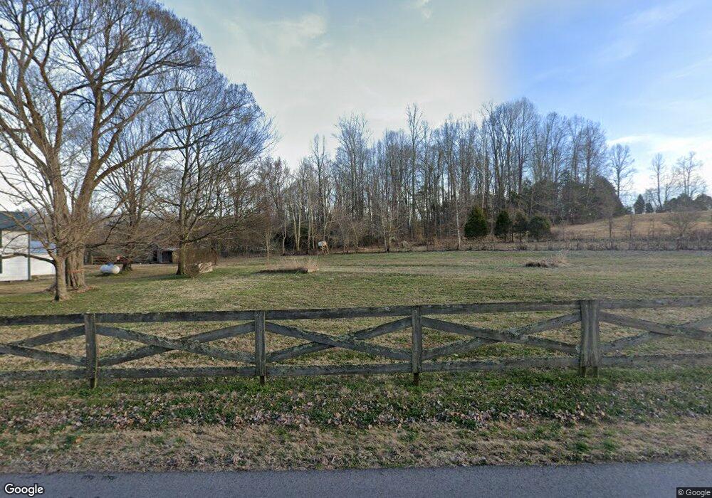
2122 Swift Rd Cumberland Furnace, TN 37051
Estimated Value: $332,000 - $619,000
--
Bed
2
Baths
2,673
Sq Ft
$182/Sq Ft
Est. Value
About This Home
This home is located at 2122 Swift Rd, Cumberland Furnace, TN 37051 and is currently estimated at $486,880, approximately $182 per square foot. 2122 Swift Rd is a home located in Dickson County with nearby schools including Charlotte Elementary School, Charlotte Middle School, and Creek Wood High School.
Ownership History
Date
Name
Owned For
Owner Type
Purchase Details
Closed on
Sep 17, 2021
Sold by
Cloud Thomas G and Cloud Debra A
Bought by
Rittenhouse William Ray and Rittenhouse Tamaral
Current Estimated Value
Purchase Details
Closed on
Jul 6, 2020
Sold by
Cloud Thomas G and Cloud Debra A
Bought by
Rittenhouse William Ray and Rittenhouse Tamara L
Home Financials for this Owner
Home Financials are based on the most recent Mortgage that was taken out on this home.
Original Mortgage
$270,000
Interest Rate
10%
Mortgage Type
Land Contract Argmt. Of Sale
Purchase Details
Closed on
Jun 10, 1987
Bought by
Cloud Thomas and Cloud Debra A
Purchase Details
Closed on
Oct 6, 1986
Bought by
Puckett Johnny
Purchase Details
Closed on
Jan 1, 1981
Create a Home Valuation Report for This Property
The Home Valuation Report is an in-depth analysis detailing your home's value as well as a comparison with similar homes in the area
Home Values in the Area
Average Home Value in this Area
Purchase History
| Date | Buyer | Sale Price | Title Company |
|---|---|---|---|
| Rittenhouse William Ray | $280,000 | None Available | |
| Rittenhouse William Ray | $280,000 | None Available | |
| Cloud Thomas | $35,000 | -- | |
| Puckett Johnny | $35,000 | -- | |
| -- | $20,000 | -- |
Source: Public Records
Mortgage History
| Date | Status | Borrower | Loan Amount |
|---|---|---|---|
| Previous Owner | Rittenhouse William Ray | $270,000 |
Source: Public Records
Tax History Compared to Growth
Tax History
| Year | Tax Paid | Tax Assessment Tax Assessment Total Assessment is a certain percentage of the fair market value that is determined by local assessors to be the total taxable value of land and additions on the property. | Land | Improvement |
|---|---|---|---|---|
| 2025 | $2,119 | $125,400 | $0 | $0 |
| 2024 | $2,119 | $125,400 | $69,050 | $56,350 |
| 2023 | $1,707 | $72,625 | $29,150 | $43,475 |
| 2022 | $1,707 | $72,625 | $29,150 | $43,475 |
| 2021 | $1,099 | $72,625 | $29,150 | $43,475 |
| 2020 | $1,099 | $46,775 | $3,300 | $43,475 |
| 2019 | $1,099 | $46,775 | $3,300 | $43,475 |
| 2018 | $801 | $29,650 | $2,850 | $26,800 |
| 2017 | $801 | $29,650 | $2,850 | $26,800 |
| 2016 | $801 | $29,650 | $2,850 | $26,800 |
| 2015 | $735 | $25,350 | $2,850 | $22,500 |
| 2014 | $735 | $25,350 | $2,850 | $22,500 |
Source: Public Records
Map
Nearby Homes
- 1901 Soules Chapel Rd
- 6466 Highway 48 N
- 2460 Little Bartons Creek Rd
- 0 Batson Rd
- 0 Freeman Loop
- 2600 Little Bartons Creek Rd
- 199 Perry Rd
- 1260 Mount Herman Rd
- 1115 Highway 48 N
- 2497 Foster Rd
- 2 Indian Creek Rd
- 3 Indian Creek Rd
- 1 Indian Creek Rd
- 5651 Highway 48
- 1339 Mount Herman Rd
- 0 Ryes Chapel Rd Unit RTC2763452
- 1 Ryes Chapel Rd
- 5862 Buckner Loop
- 1119 Gallion Rd
- 1313 Stayton Rd
- 1620 Soules Chapel Rd
- 1703 N Soules Chapel Rd
- 1626 Soules Chapel Rd
- 1750 Soules Chapel Rd
- 1740 Soules Chapel Rd
- 1780 Soules Chapel Rd
- 1784 Soules Chapel Rd
- 1620 Soules Chapel Rd N
- 6140 Highway 48 N
- 6175 Highway 48 N
- 1050 Rollins Rd
- 6171 Highway 48 N
- 1785 Soules Chapel Rd
- 6145 Highway 48 N
- 1030 Rollins Rd
- 6230 Highway 48 N
- 6223 Highway 48 N
- 6047 Highway 48 N
- 1060 Rollins Rd
- 6210 Highway 48 N
