21220 Locust St Willits, CA 95490
Estimated Value: $510,000 - $879,000
Studio
--
Bath
--
Sq Ft
5.6
Acres Lot
About This Home
This home is located at 21220 Locust St, Willits, CA 95490 and is currently estimated at $621,407. 21220 Locust St is a home located in Mendocino County with nearby schools including Blosser Lane Elementary School, Brookside Elementary School, and Baechtel Grove Middle School.
Ownership History
Date
Name
Owned For
Owner Type
Purchase Details
Closed on
Jan 28, 2020
Sold by
Neese Living Family Trust
Bought by
Neese Family Revocable Living
Current Estimated Value
Home Financials for this Owner
Home Financials are based on the most recent Mortgage that was taken out on this home.
Original Mortgage
$180,000
Outstanding Balance
$159,098
Interest Rate
3.73%
Mortgage Type
New Conventional
Estimated Equity
$462,309
Purchase Details
Closed on
May 4, 2010
Sold by
Neese Robert and Lemos Neese Roxanne
Bought by
Neese Robert and Lemos Neese Roxanne
Home Financials for this Owner
Home Financials are based on the most recent Mortgage that was taken out on this home.
Original Mortgage
$224,275
Interest Rate
4.94%
Mortgage Type
New Conventional
Purchase Details
Closed on
Apr 1, 2010
Sold by
Neese Robert and Lemos Neese Roxanne
Bought by
Neese Robert and Lemos Neese Roxanne
Home Financials for this Owner
Home Financials are based on the most recent Mortgage that was taken out on this home.
Original Mortgage
$224,275
Interest Rate
4.94%
Mortgage Type
New Conventional
Purchase Details
Closed on
Aug 17, 2006
Sold by
Lemos Neese Robert and Lemos Neese Roxanne M
Bought by
Lemos Neese Robert and Lemos Neese Roxanne
Home Financials for this Owner
Home Financials are based on the most recent Mortgage that was taken out on this home.
Original Mortgage
$417,000
Interest Rate
6.7%
Mortgage Type
New Conventional
Purchase Details
Closed on
May 1, 2002
Sold by
Neese Robert and Lemos Neese Roxanne
Bought by
Neese Robert and Lemos Neese Roxanne
Home Financials for this Owner
Home Financials are based on the most recent Mortgage that was taken out on this home.
Original Mortgage
$140,000
Interest Rate
7.18%
Create a Home Valuation Report for This Property
The Home Valuation Report is an in-depth analysis detailing your home's value as well as a comparison with similar homes in the area
Home Values in the Area
Average Home Value in this Area
Purchase History
We collect this data history from publicly available records. To have your information removed, we recommend requesting removal directly through your county’s website.
| Date | Buyer | Sale Price | Title Company |
|---|---|---|---|
| Neese Family Revocable Living | -- | Redwood Empire Title | |
| Neese Robert | -- | First American Title Company | |
| Neese Robert | -- | First American Title Company | |
| Lemos Neese Robert | -- | First American Title Co | |
| Neese Robert | -- | First American Title Co | |
| Neese Robert | -- | -- | |
| Neese Robert | -- | First American Title |
Source: Public Records
Mortgage History
We collect this data history from publicly available records. To have your information removed, we recommend requesting removal directly through your county’s website.
| Date | Status | Borrower | Loan Amount |
|---|---|---|---|
| Open | Neese Family Revocable Living | $180,000 | |
| Previous Owner | Neese Robert | $224,275 | |
| Previous Owner | Neese Robert | $417,000 | |
| Previous Owner | Neese Robert | $140,000 |
Source: Public Records
Tax History
| Year | Tax Paid | Tax Assessment Tax Assessment Total Assessment is a certain percentage of the fair market value that is determined by local assessors to be the total taxable value of land and additions on the property. | Land | Improvement |
|---|---|---|---|---|
| 2025 | $5,792 | $509,225 | $107,338 | $401,887 |
| 2023 | $5,792 | $495,694 | $103,171 | $392,523 |
| 2022 | $5,534 | $486,283 | $101,149 | $385,134 |
| 2021 | $5,501 | $477,490 | $99,166 | $378,324 |
| 2020 | $5,370 | $473,583 | $98,201 | $375,382 |
| 2019 | $5,573 | $483,662 | $96,276 | $387,386 |
| 2018 | $5,235 | $474,709 | $94,388 | $380,321 |
| 2017 | $5,128 | $465,933 | $92,538 | $373,395 |
| 2016 | $5,121 | $459,758 | $90,724 | $369,034 |
| 2015 | $5,009 | $450,620 | $89,362 | $361,258 |
| 2014 | $4,972 | $444,368 | $87,612 | $356,756 |
Source: Public Records
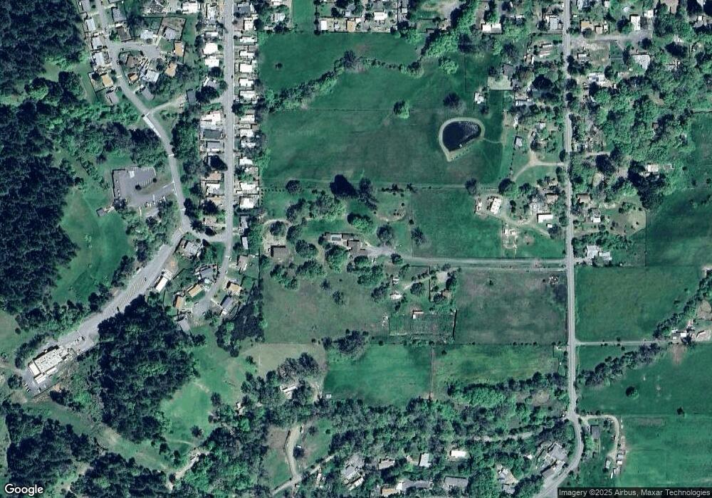
Map
Nearby Homes
- 21441 Pineview Dr
- 490 Della Ave
- 454 Della Ave
- 1229 Magnolia St
- 1221 Magnolia St
- 1750 S Main St Unit 37
- 1750 S Main St Unit 109
- 94 Fort Bragg Rd
- 490 North St
- 252 Margie Dr
- 316 S Main St
- 308 Coast St
- 168 Pine St
- 132 E Valley St
- 0 Catherine Ln
- 205 Haehl Creek Ct
- 84 School St
- 0 Muir Mill Rd
- 450 Grove St
- 487 E Valley St
- 21200 Locust St
- 21311 Meadowbrook Dr
- 21250 Locust St
- 21330 Meadowbrook Dr
- 21371 Meadowbrook Dr
- 21350 Meadowbrook Dr
- 21370 Meadowbrook Dr
- 21300 Locust St
- 21411 Meadowbrook Dr
- 21400 Meadowbrook Dr
- 21041 Locust St
- 21420 Viola St
- 21400 Locust St
- 581 Locust Ln
- 511 Locust Ln
- 21431 Viola St
- 21251 Locust St
- 21441 Meadowbrook Dr
- 501 Locust Ln
- 21275 Locust St
Your Personal Tour Guide
Ask me questions while you tour the home.