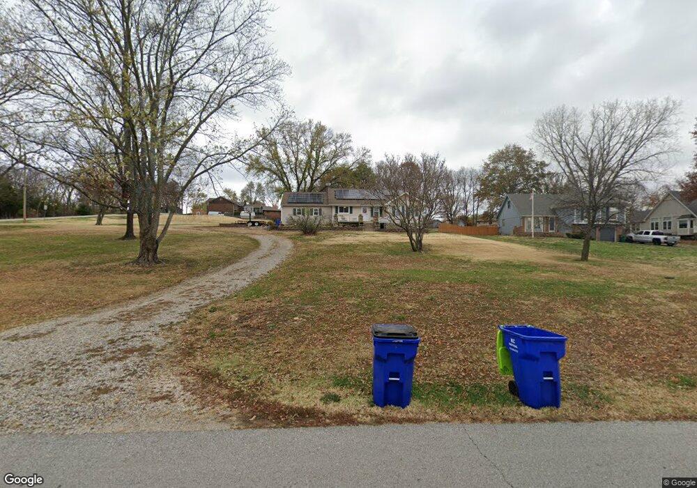
21220 W 71st St Shawnee, KS 66218
Estimated Value: $414,459 - $530,000
4
Beds
3
Baths
1,837
Sq Ft
$243/Sq Ft
Est. Value
About This Home
This home is located at 21220 W 71st St, Shawnee, KS 66218 and is currently estimated at $447,115, approximately $243 per square foot. 21220 W 71st St is a home located in Johnson County with nearby schools including Horizon Elementary School, Mill Creek Middle School, and Mill Valley High School.
Ownership History
Date
Name
Owned For
Owner Type
Purchase Details
Closed on
Aug 22, 2001
Sold by
Valencia Robert J and Valencia Deborah L
Bought by
Valencia Robert J and Valencia Deborah L
Current Estimated Value
Home Financials for this Owner
Home Financials are based on the most recent Mortgage that was taken out on this home.
Original Mortgage
$144,715
Interest Rate
7.16%
Mortgage Type
VA
Create a Home Valuation Report for This Property
The Home Valuation Report is an in-depth analysis detailing your home's value as well as a comparison with similar homes in the area
Home Values in the Area
Average Home Value in this Area
Purchase History
| Date | Buyer | Sale Price | Title Company |
|---|---|---|---|
| Valencia Robert J | -- | Columbian National Title Ins |
Source: Public Records
Mortgage History
| Date | Status | Borrower | Loan Amount |
|---|---|---|---|
| Closed | Valencia Robert J | $144,715 |
Source: Public Records
Tax History Compared to Growth
Tax History
| Year | Tax Paid | Tax Assessment Tax Assessment Total Assessment is a certain percentage of the fair market value that is determined by local assessors to be the total taxable value of land and additions on the property. | Land | Improvement |
|---|---|---|---|---|
| 2024 | $4,715 | $40,687 | $15,439 | $25,248 |
| 2023 | $4,447 | $37,858 | $13,065 | $24,793 |
| 2022 | $4,084 | $34,063 | $10,894 | $23,169 |
| 2021 | $3,735 | $29,866 | $10,356 | $19,510 |
| 2020 | $3,349 | $26,519 | $10,356 | $16,163 |
| 2019 | $3,398 | $26,519 | $10,356 | $16,163 |
| 2018 | $2,876 | $22,218 | $10,356 | $11,862 |
| 2017 | $2,947 | $22,218 | $10,356 | $11,862 |
| 2016 | $2,887 | $21,494 | $10,356 | $11,138 |
| 2015 | $2,861 | $21,022 | $10,356 | $10,666 |
| 2013 | -- | $20,240 | $10,356 | $9,884 |
Source: Public Records
Map
Nearby Homes
- 6820 Marion St
- 20913 W 72nd St
- 6905 Longview Rd
- The Denali Plan at Parkside Reserve
- Crestwood Plan at Parkside Reserve - Premier Collection
- Avalon Plan at Parkside Reserve - Premier Collection
- Birmingham III Plan at Parkside Reserve
- The Biscayne Plan at Parkside Reserve
- Adeline Plan at Parkside Reserve
- Lexington Plan at Parkside Reserve - Premier Collection
- The Squoia Parkside Plan at Parkside Reserve
- The Acadia Plan at Parkside Reserve
- 15517 W 168th Terrace
- The Sandstone Plan at Parkside Reserve
- Asheville 2 Story Plan at Parkside Reserve
- Brookside Plan at Parkside Reserve - Premier Collection
- The Olympia Plan at Parkside Reserve
- The Hudson Plan at Parkside Reserve
- Marietta Plan at Parkside Reserve
- The Sierra Parkside Plan at Parkside Reserve
- 21134 W 71st St
- 21126 W 71st St
- 7017 Crest Dr
- 21125 W 71st St
- 7015 Crest Dr
- 7018 Crest Dr
- 21110 W 71st St
- 21100 W 71st St
- 7011 Crest Dr
- 7013 Marion St
- 21219 W 70th St
- 21303 W 70th St
- 21313 W 70th St
- 21321 W 70th St
- 21022 W 71st St
- 21222 W 70th St
- 7003 Marion Dr
- 21230 W 70th St
- 6925 Marion Dr
- 21302 W 70th St