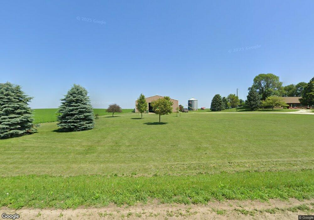
21231 220th St Hubbard, IA 50122
Estimated Value: $191,000 - $456,000
3
Beds
2
Baths
1,916
Sq Ft
$165/Sq Ft
Est. Value
About This Home
This home is located at 21231 220th St, Hubbard, IA 50122 and is currently estimated at $316,206, approximately $165 per square foot. 21231 220th St is a home located in Hardin County.
Create a Home Valuation Report for This Property
The Home Valuation Report is an in-depth analysis detailing your home's value as well as a comparison with similar homes in the area
Home Values in the Area
Average Home Value in this Area
Tax History Compared to Growth
Tax History
| Year | Tax Paid | Tax Assessment Tax Assessment Total Assessment is a certain percentage of the fair market value that is determined by local assessors to be the total taxable value of land and additions on the property. | Land | Improvement |
|---|---|---|---|---|
| 2024 | $3,366 | $223,020 | $72,410 | $150,610 |
| 2023 | $3,234 | $222,070 | $72,410 | $149,660 |
| 2022 | $3,174 | $186,730 | $59,810 | $126,920 |
| 2021 | $3,174 | $186,730 | $59,810 | $126,920 |
| 2020 | $2,906 | $170,450 | $53,970 | $116,480 |
| 2019 | $2,826 | $170,450 | $0 | $0 |
| 2018 | $2,826 | $198,940 | $0 | $0 |
| 2017 | $2,832 | $211,950 | $0 | $0 |
| 2016 | $2,736 | $211,950 | $0 | $0 |
| 2015 | $1,288 | $110,130 | $0 | $0 |
| 2014 | $1,290 | $110,130 | $0 | $0 |
Source: Public Records
Map
Nearby Homes
- 24313 Highway D41
- 24388 250th St
- 306 East St
- 24939 G Ave
- 108 Buckeye Ave
- 27186 Highway S33
- 602 E Maple St
- 220 W Maple St
- 509 E Chestnut
- 623 E Chestnut
- 720 E Chestnut
- 318 S Illinois
- 224 Ash
- 27141 County Hwy D 35 Hwy
- 27697 270th St
- 23725 Highway S21
- 206 Eugene St
- 1401 24th St
- TBD 24th St
- 2306 15th Ave