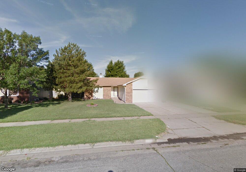
2125 N Byron Rd Wichita, KS 67212
West Wichita NeighborhoodEstimated Value: $239,064 - $262,000
3
Beds
2
Baths
1,354
Sq Ft
$185/Sq Ft
Est. Value
About This Home
This home is located at 2125 N Byron Rd, Wichita, KS 67212 and is currently estimated at $250,532, approximately $185 per square foot. 2125 N Byron Rd is a home located in Sedgwick County with nearby schools including Vermillion Elementary School, Maize South Elementary School, and Pray-Woodman Elementary.
Ownership History
Date
Name
Owned For
Owner Type
Purchase Details
Closed on
Aug 16, 2006
Sold by
Herring Melvin P and Herring Trena J
Bought by
Fornoza Enrique A and Fornoza Letisha M Gomez De
Current Estimated Value
Purchase Details
Closed on
Apr 30, 1999
Sold by
Williams Suzan Barbara
Bought by
Herring Melvin P and Herring Trena J
Home Financials for this Owner
Home Financials are based on the most recent Mortgage that was taken out on this home.
Original Mortgage
$111,690
Interest Rate
6.99%
Mortgage Type
VA
Create a Home Valuation Report for This Property
The Home Valuation Report is an in-depth analysis detailing your home's value as well as a comparison with similar homes in the area
Home Values in the Area
Average Home Value in this Area
Purchase History
| Date | Buyer | Sale Price | Title Company |
|---|---|---|---|
| Fornoza Enrique A | -- | None Available | |
| Herring Melvin P | -- | Columbian Natl Title Ins Co |
Source: Public Records
Mortgage History
| Date | Status | Borrower | Loan Amount |
|---|---|---|---|
| Previous Owner | Herring Melvin P | $111,690 |
Source: Public Records
Tax History Compared to Growth
Tax History
| Year | Tax Paid | Tax Assessment Tax Assessment Total Assessment is a certain percentage of the fair market value that is determined by local assessors to be the total taxable value of land and additions on the property. | Land | Improvement |
|---|---|---|---|---|
| 2025 | $2,666 | $24,426 | $5,658 | $18,768 |
| 2023 | $2,666 | $21,034 | $4,359 | $16,675 |
| 2022 | $2,267 | $18,837 | $4,117 | $14,720 |
| 2021 | $2,116 | $17,446 | $2,668 | $14,778 |
| 2020 | $2,116 | $17,446 | $2,668 | $14,778 |
| 2019 | $1,956 | $16,158 | $2,668 | $13,490 |
| 2018 | $1,858 | $15,387 | $2,231 | $13,156 |
| 2017 | $1,779 | $0 | $0 | $0 |
| 2016 | $1,778 | $0 | $0 | $0 |
| 2015 | $1,708 | $0 | $0 | $0 |
| 2014 | $1,737 | $0 | $0 | $0 |
Source: Public Records
Map
Nearby Homes
- 9111 W 21st St N
- 9029 W Westlawn St
- 9017 W Westlawn St
- 9005 W Westlawn St
- 9802 W Cornelison St
- 2212 N Chadsworth St
- 9706 W Bella Vista St
- 2406 N Watersedge Cir
- 8911 W Jamesburg St
- 2416 N Amarado St
- 9701 W Greenspoint St
- 2206 N Chadsworth St
- 9702 W Greenspoint St
- 9706 W Greenspoint St
- 9409 W Sterling St
- 2425 N Baytree St
- 9117 W Westport St
- 9422 W Sterling St
- 8803 W 18th Ct N
- 1842 N Cheryl Ct
- 2131 N Byron Rd
- 2121 N Byron Rd
- 2118 N Westfield Cir
- 2110 N Westfield Cir
- 2137 N Byron Rd
- 2115 N Byron Rd
- 2104 N Westfield Cir
- 2126 N Westfield Cir
- 2126 N Byron Rd
- 2143 N Byron Rd
- 2032 N Westfield St
- 2132 N Byron Rd
- 2122 N Byron Rd
- 2134 N Westfield Cir
- 2138 N Byron Rd
- 2116 N Byron Rd
- 2109 N Byron Rd
- 2026 N Westfield St
- 2144 N Byron Rd
- 2151 N Byron Rd