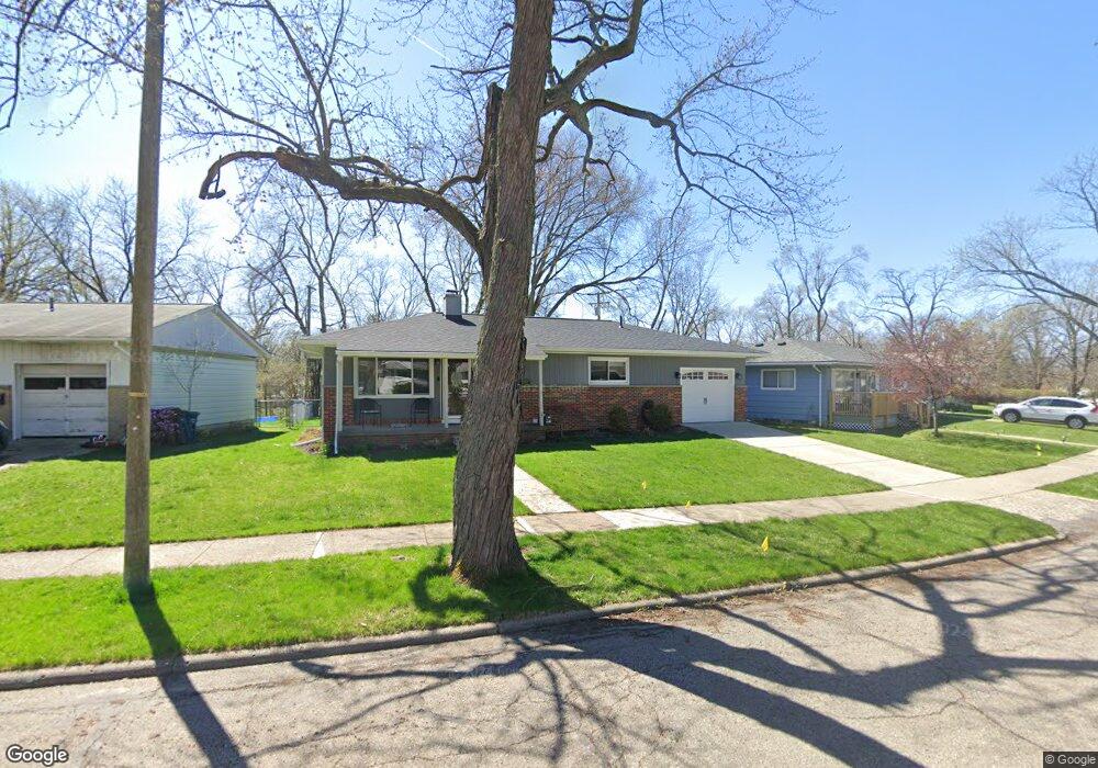
2125 N Circle Dr Ann Arbor, MI 48103
Arborview NeighborhoodEstimated Value: $397,000 - $433,000
3
Beds
2
Baths
1,040
Sq Ft
$402/Sq Ft
Est. Value
About This Home
This home is located at 2125 N Circle Dr, Ann Arbor, MI 48103 and is currently estimated at $417,668, approximately $401 per square foot. 2125 N Circle Dr is a home located in Washtenaw County with nearby schools including Haisley Elementary School, Slauson Middle School, and Skyline High School.
Ownership History
Date
Name
Owned For
Owner Type
Purchase Details
Closed on
Jan 27, 2006
Sold by
Martin Timothy M and Martin Mike F
Bought by
Ayotte Todd J
Current Estimated Value
Home Financials for this Owner
Home Financials are based on the most recent Mortgage that was taken out on this home.
Original Mortgage
$156,000
Outstanding Balance
$88,549
Interest Rate
6.34%
Mortgage Type
Fannie Mae Freddie Mac
Estimated Equity
$329,119
Purchase Details
Closed on
May 25, 1995
Sold by
Riethmiller Kevin L
Bought by
Martin Timothy M and Smith Gregory
Home Financials for this Owner
Home Financials are based on the most recent Mortgage that was taken out on this home.
Original Mortgage
$104,950
Interest Rate
8.26%
Mortgage Type
New Conventional
Create a Home Valuation Report for This Property
The Home Valuation Report is an in-depth analysis detailing your home's value as well as a comparison with similar homes in the area
Home Values in the Area
Average Home Value in this Area
Purchase History
| Date | Buyer | Sale Price | Title Company |
|---|---|---|---|
| Ayotte Todd J | $195,000 | American Title Co Livingston | |
| Martin Timothy M | $110,500 | -- |
Source: Public Records
Mortgage History
| Date | Status | Borrower | Loan Amount |
|---|---|---|---|
| Open | Ayotte Todd J | $156,000 | |
| Previous Owner | Martin Timothy M | $104,950 |
Source: Public Records
Tax History Compared to Growth
Tax History
| Year | Tax Paid | Tax Assessment Tax Assessment Total Assessment is a certain percentage of the fair market value that is determined by local assessors to be the total taxable value of land and additions on the property. | Land | Improvement |
|---|---|---|---|---|
| 2025 | $4,825 | $199,500 | $0 | $0 |
| 2024 | $4,493 | $178,000 | $0 | $0 |
| 2023 | $4,143 | $174,000 | $0 | $0 |
| 2022 | $4,514 | $161,100 | $0 | $0 |
| 2021 | $4,408 | $151,500 | $0 | $0 |
| 2020 | $4,319 | $135,400 | $0 | $0 |
| 2019 | $4,110 | $131,800 | $131,800 | $0 |
| 2018 | $4,052 | $122,200 | $0 | $0 |
| 2017 | $3,942 | $123,300 | $0 | $0 |
| 2016 | $3,803 | $78,828 | $0 | $0 |
| 2015 | $3,622 | $78,593 | $0 | $0 |
| 2014 | $3,622 | $76,138 | $0 | $0 |
| 2013 | -- | $76,138 | $0 | $0 |
Source: Public Records
Map
Nearby Homes
- 1006 Duncan St
- 1431 Hatcher Crescent
- 1420 Hatcher Crescent
- 1115 Western Dr
- 812 Duncan St
- 1797 Miller Ave
- 915 Westwood Ave
- 916 Patricia Ave
- 1785 Miller Ave
- 1514 Argyle Crescent
- 827 Westwood Ave
- 1610 Saunders Crescent
- 520 Center Dr
- 2219 Dexter Ave
- 1848 Calvin St
- 125 Fairview Dr
- 1328 Miller Ave
- 115 Longman Ln
- 436 Pinewood St
- 116 Glendale Dr
- 2133 N Circle Dr
- 2119 N Circle Dr
- 2254 Westaire Ct
- 2205 N Circle Dr
- 2115 N Circle Dr
- 2240 Westaire Ct
- 2268 Westaire Ct
- 2207 N Circle Dr
- 2130 N Circle Dr
- 2111 S Circle Dr
- 2126 N Circle Dr
- 2122 N Circle Dr
- 1212 City Dr
- 2118 N Circle Dr
- 2114 N Circle Dr
- 1054 Westaire Way
- 2105 S Circle Dr
- 2253 Westaire Ct
- 1058 Westaire Way
- 2274 Westaire Ct