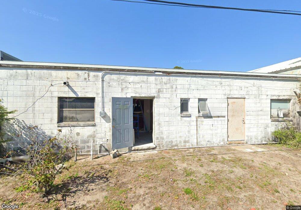
2125 Silver Star Rd Titusville, FL 32796
--
Bed
2
Baths
4,000
Sq Ft
6,098
Sq Ft Lot
About This Home
This home is located at 2125 Silver Star Rd, Titusville, FL 32796. 2125 Silver Star Rd is a home located in Brevard County with nearby schools including Mims Elementary School, James Madison Middle School, and Astronaut High School.
Ownership History
Date
Name
Owned For
Owner Type
Purchase Details
Closed on
Aug 23, 2011
Sold by
Td Bank National Asociation
Bought by
Christman David I
Purchase Details
Closed on
Apr 6, 2010
Sold by
Federal Deposit Insurance Corporation
Bought by
Td Bank National Association
Purchase Details
Closed on
Jul 29, 2009
Sold by
Karwat Alexander T and Karwat Alex
Bought by
Riverside National Bank
Purchase Details
Closed on
Mar 22, 2005
Sold by
Buchanan Charles and Buchanan Bess
Bought by
Karwat Alex
Create a Home Valuation Report for This Property
The Home Valuation Report is an in-depth analysis detailing your home's value as well as a comparison with similar homes in the area
Home Values in the Area
Average Home Value in this Area
Purchase History
| Date | Buyer | Sale Price | Title Company |
|---|---|---|---|
| Christman David I | $26,400 | Gullett Title Inc | |
| Td Bank National Association | -- | Gullett Title Inc | |
| Riverside National Bank | -- | None Available | |
| Karwat Alex | $125,000 | -- |
Source: Public Records
Mortgage History
| Date | Status | Borrower | Loan Amount |
|---|---|---|---|
| Closed | Karwat Alex | $0 |
Source: Public Records
Tax History Compared to Growth
Tax History
| Year | Tax Paid | Tax Assessment Tax Assessment Total Assessment is a certain percentage of the fair market value that is determined by local assessors to be the total taxable value of land and additions on the property. | Land | Improvement |
|---|---|---|---|---|
| 2025 | $1,929 | $87,510 | -- | -- |
| 2024 | $1,794 | $84,240 | -- | -- |
| 2023 | $1,794 | $76,580 | $6,250 | $70,330 |
| 2022 | $1,735 | $76,630 | $0 | $0 |
| 2021 | $1,817 | $77,180 | $6,250 | $70,930 |
| 2020 | $1,843 | $77,180 | $6,250 | $70,930 |
| 2019 | $1,918 | $77,180 | $6,250 | $70,930 |
| 2018 | $1,890 | $73,500 | $6,250 | $67,250 |
| 2017 | $1,845 | $70,000 | $0 | $70,000 |
| 2016 | $1,621 | $66,000 | $0 | $0 |
| 2015 | $1,588 | $62,000 | $4,690 | $57,310 |
| 2014 | $1,596 | $62,000 | $4,690 | $57,310 |
Source: Public Records
Map
Nearby Homes
- 2135 Mayfair Way Unit Lot 71
- 2135 Mayfair Way Unit 84
- 2135 Mayfair Way Unit 98
- 614 West Ct
- 610 East Ct
- 2015 Malinda Ln
- 671 N Dixie Ave Unit 18A
- 970 Carolina Cir
- 870 Century Medical Dr
- 502 Vaughn St
- 0000 Buffalo Rd
- 424 Lenore Ave
- 7.26 Route 1
- 2565 Shady Oaks Dr
- 1636 Violet Ave
- Tbd N Washington Ave
- 1615 Violet Ave
- 1035 S Mars Ct
- 1539 Violet Ave
- 2765 Winstead Dr
- 2135 Silver Star Rd
- 00 Silver Star Rd
- 900 Buffalo Rd
- 2140 Silver Star Rd
- 2135 Mayfair Way Unit 104
- 2135 Mayfair Way Unit 13
- 2135 Mayfair Way Unit 113
- 2135 Mayfair Way Unit 65
- 2135 Mayfair Way Unit 26
- 2135 Mayfair Way Unit 16
- 2135 Mayfair Way Unit 66
- 2135 Mayfair Way Unit 27
- 2135 Mayfair Way Unit 42
- 2135 Mayfair Way Unit 14
- 2135 Mayfair Way Unit 73
- 2135 Mayfair Way Unit 95
- 2135 Mayfair Way
- 2160 Anna Dr
- 867 Tennessee St
- 2170 Anna Dr