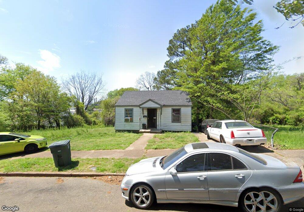
2125 Swift St Memphis, TN 38109
South Memphis NeighborhoodEstimated Value: $34,000 - $67,000
2
Beds
1
Bath
648
Sq Ft
$74/Sq Ft
Est. Value
About This Home
This home is located at 2125 Swift St, Memphis, TN 38109 and is currently estimated at $47,927, approximately $73 per square foot. 2125 Swift St is a home located in Shelby County with nearby schools including Riverview Middle School, Hamilton High School, and Vision Preparatory Charter School.
Ownership History
Date
Name
Owned For
Owner Type
Purchase Details
Closed on
May 2, 2016
Sold by
Andrew H Boshwit Family Trust
Bought by
901 Holdings Llc
Current Estimated Value
Purchase Details
Closed on
Jan 5, 2011
Sold by
A & M Real Properties L L C
Bought by
Andrew H Boshwit Family Trust
Purchase Details
Closed on
Jun 6, 2008
Sold by
Gaters Michelle L
Bought by
A & M Real Properties Llc
Create a Home Valuation Report for This Property
The Home Valuation Report is an in-depth analysis detailing your home's value as well as a comparison with similar homes in the area
Home Values in the Area
Average Home Value in this Area
Purchase History
| Date | Buyer | Sale Price | Title Company |
|---|---|---|---|
| 901 Holdings Llc | -- | None Available | |
| Andrew H Boshwit Family Trust | -- | None Available | |
| A & M Real Properties Llc | $11,000 | None Available |
Source: Public Records
Tax History Compared to Growth
Tax History
| Year | Tax Paid | Tax Assessment Tax Assessment Total Assessment is a certain percentage of the fair market value that is determined by local assessors to be the total taxable value of land and additions on the property. | Land | Improvement |
|---|---|---|---|---|
| 2025 | $201 | $9,100 | $1,250 | $7,850 |
| 2024 | $201 | $5,925 | $875 | $5,050 |
| 2023 | $361 | $5,925 | $875 | $5,050 |
| 2022 | $361 | $5,925 | $875 | $5,050 |
| 2021 | $365 | $5,925 | $875 | $5,050 |
| 2020 | $355 | $4,900 | $875 | $4,025 |
| 2019 | $355 | $4,900 | $875 | $4,025 |
| 2018 | $355 | $4,900 | $875 | $4,025 |
| 2017 | $201 | $4,900 | $875 | $4,025 |
| 2016 | $223 | $5,100 | $0 | $0 |
| 2014 | $223 | $5,100 | $0 | $0 |
Source: Public Records
Map
Nearby Homes
- 2119 Farrington St
- 2105 Farrington St
- 2076 Farrington St
- 2084 Benford St
- 2095 Rile St
- 2100 Riverside Blvd
- 2059 Rile St
- 247 W Frank Ave
- 20 W Davant Ave
- 335 Outer Pkwy
- 380 Outer Pkwy
- 324 Outer Pkwy
- 250 1st Ave
- 274 W Mckellar Ave
- 260 W Mckellar Ave
- 2099 Rile St
- 123 W Frank Ave
- 1872 Rile St
- 115 E Dempster Ave
- 1852 Swift St
- 2129 Swift St
- 2115 Swift St
- 2135 Swift St
- 2126 Farrington St
- 2120 Farrington St
- 2130 Farrington St
- 2126 Swift St
- 2136 Farrington St
- 2111 Swift St
- 2120 Swift St
- 2130 Swift St
- 2136 Swift St
- 2140 Farrington St
- 2105 Swift St
- 2140 Swift St
- 2112 Swift St
- 2106 Farrington St
- 2099 Swift St
- 2106 Swift St
- 2125 Benford St