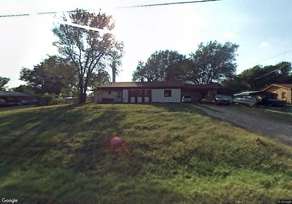
21253 Hoover Ave Winfield, KS 67156
Estimated Value: $64,000 - $244,000
4
Beds
3
Baths
2,071
Sq Ft
$81/Sq Ft
Est. Value
About This Home
This home is located at 21253 Hoover Ave, Winfield, KS 67156 and is currently estimated at $168,711, approximately $81 per square foot. 21253 Hoover Ave is a home located in Cowley County with nearby schools including Winfield High School.
Ownership History
Date
Name
Owned For
Owner Type
Purchase Details
Closed on
Nov 15, 2021
Sold by
Wilson John H
Bought by
Bellomy Shane
Current Estimated Value
Home Financials for this Owner
Home Financials are based on the most recent Mortgage that was taken out on this home.
Original Mortgage
$48,000
Outstanding Balance
$43,996
Interest Rate
3.01%
Mortgage Type
Future Advance Clause Open End Mortgage
Estimated Equity
$124,715
Create a Home Valuation Report for This Property
The Home Valuation Report is an in-depth analysis detailing your home's value as well as a comparison with similar homes in the area
Home Values in the Area
Average Home Value in this Area
Purchase History
| Date | Buyer | Sale Price | Title Company |
|---|---|---|---|
| Bellomy Shane | -- | Security 1St Title |
Source: Public Records
Mortgage History
| Date | Status | Borrower | Loan Amount |
|---|---|---|---|
| Open | Bellomy Shane | $48,000 |
Source: Public Records
Tax History Compared to Growth
Tax History
| Year | Tax Paid | Tax Assessment Tax Assessment Total Assessment is a certain percentage of the fair market value that is determined by local assessors to be the total taxable value of land and additions on the property. | Land | Improvement |
|---|---|---|---|---|
| 2025 | $1,215 | $9,394 | $1,236 | $8,158 |
| 2024 | $1,215 | $10,994 | $1,236 | $9,758 |
| 2023 | $1,412 | $11,440 | $1,351 | $10,089 |
| 2022 | $1,292 | $10,215 | $872 | $9,343 |
| 2021 | $1,292 | $9,456 | $776 | $8,680 |
| 2020 | $1,226 | $8,941 | $621 | $8,320 |
| 2019 | $1,205 | $8,909 | $574 | $8,335 |
| 2018 | $1,281 | $9,585 | $347 | $9,238 |
| 2017 | $1,282 | $9,585 | $347 | $9,238 |
| 2016 | $1,243 | $9,526 | $503 | $9,023 |
| 2015 | -- | $9,526 | $503 | $9,023 |
| 2014 | -- | $9,525 | $447 | $9,078 |
Source: Public Records
Map
Nearby Homes
- 20648 85th Rd
- 212th Rd
- 10562 212th Rd
- 4329 Quail Ridge Dr
- 4210 Meadowbrook Ln
- 4414 Niblick Dr
- 10 Leed Rd
- 4317 Niblick Dr
- 4221 Niblick Dr
- 4215 Niblick Dr
- 4011 Quail Ridge Dr
- 607 Quail Nest Rd
- 714 Quail Nest Rd
- 616 Quail Nest Rd
- 624 Quail Nest Rd
- 19584 71st Rd
- 3408 Lakeshore Dr
- 3402 Meadowlark Ln
- 121 W 33rd Ave
- 1407 W 33rd Ave
- 21217 Hoover Ave
- 21285 Hoover Ave
- 21199 Hoover Ave
- 21246 Hoover Ave
- 21290 Hoover Ave
- 21224 Hoover Ave
- 21237 Curtis Ave
- 21285 Curtis Ave
- 21215 Curtis Ave
- 21341 Hoover Ave
- 21352 Hoover Ave
- 21196 Hoover Ave
- 21153 Hoover Ave
- 21286 Curtis Ave
- 21216 Curtis Ave
- 21378 Hoover Ave
- 21339 Curtis Ave
- 21192 Curtis Ave
- 21361 Hoover Ave
- 21125 Hoover Ave