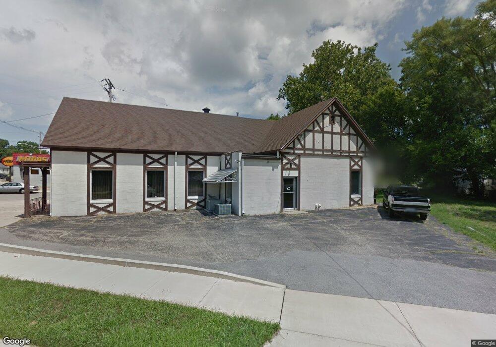
2126 N University St Peoria, IL 61604
West Bluff NeighborhoodEstimated Value: $205,180
--
Bed
--
Bath
4,808
Sq Ft
$43/Sq Ft
Est. Value
About This Home
This home is located at 2126 N University St, Peoria, IL 61604 and is currently estimated at $205,180, approximately $42 per square foot. 2126 N University St is a home located in Peoria County with nearby schools including Franklin Primary School, Sterling Middle School, and Peoria High School.
Ownership History
Date
Name
Owned For
Owner Type
Purchase Details
Closed on
Jan 26, 2023
Sold by
Reeves Acquisitions Llc-Series Universit
Bought by
Sweidan Abdallah
Current Estimated Value
Home Financials for this Owner
Home Financials are based on the most recent Mortgage that was taken out on this home.
Original Mortgage
$55,000
Outstanding Balance
$53,268
Interest Rate
6.31%
Mortgage Type
New Conventional
Estimated Equity
$151,912
Purchase Details
Closed on
Jan 18, 2023
Sold by
Reeves Acquisitions Llc-Series Universit
Bought by
Sweidan Abdallah
Home Financials for this Owner
Home Financials are based on the most recent Mortgage that was taken out on this home.
Original Mortgage
$55,000
Outstanding Balance
$53,268
Interest Rate
6.31%
Mortgage Type
New Conventional
Estimated Equity
$151,912
Purchase Details
Closed on
Aug 26, 2020
Sold by
Clauson Judith and Clauson Larry A
Bought by
Wojtalik Julia
Purchase Details
Closed on
Aug 19, 2019
Sold by
Clauson Larry L
Bought by
Clauson Judith and Clauson Larry A
Create a Home Valuation Report for This Property
The Home Valuation Report is an in-depth analysis detailing your home's value as well as a comparison with similar homes in the area
Home Values in the Area
Average Home Value in this Area
Purchase History
| Date | Buyer | Sale Price | Title Company |
|---|---|---|---|
| Sweidan Abdallah | $180,000 | -- | |
| Sweidan Abdallah | $180,000 | None Listed On Document | |
| Wojtalik Julia | $20,000 | None Listed On Document | |
| Clauson Judith | -- | None Listed On Document |
Source: Public Records
Mortgage History
| Date | Status | Borrower | Loan Amount |
|---|---|---|---|
| Open | Sweidan Abdallah | $55,000 | |
| Closed | Sweidan Abdallah | $55,000 |
Source: Public Records
Tax History Compared to Growth
Tax History
| Year | Tax Paid | Tax Assessment Tax Assessment Total Assessment is a certain percentage of the fair market value that is determined by local assessors to be the total taxable value of land and additions on the property. | Land | Improvement |
|---|---|---|---|---|
| 2024 | $5,331 | $58,940 | $11,680 | $47,260 |
| 2023 | $4,999 | $53,130 | $10,720 | $42,410 |
| 2022 | $3,297 | $34,180 | $10,400 | $23,780 |
| 2021 | $3,398 | $34,180 | $10,400 | $23,780 |
Source: Public Records
Map
Nearby Homes
- 1017 W Brons Ave
- 1104 W Rice St
- 1210 W Macqueen Ave
- 1001 W Brons Ave
- 2119 N Broadway St
- 1207 W Mcclure Ave
- 1917 N Broadway St
- 823 W Nowland Ave
- 809 W Eleanor Place
- 803 W Meadows Place
- 909 W Mcclure Ave
- 812 W Macqueen Ave
- 1710 N Machin Ave
- 807 W Mcclure Ave
- 2505 N Hilltop Ct
- 1013 W Hanssler Place
- 2315 N Ellis St
- 810 W Hanssler Place
- 1017 W Willcox Ave
- 2215 N Flora Ave
- 2132 N Gale Ave
- 2128 N Gale Ave
- 1231 W Brons Ave
- 2126 N Gale Ave
- 2139 N Gale Ave
- 1229 W Brons Ave
- 2124 N Gale Ave
- 1225 W Brons Ave
- 2129 N Gale Ave
- 1221 W Brons Ave
- 2127 N Gale Ave
- 2120 N Gale Ave
- 1216 W Brons Ave
- 2123 N Gale Ave
- 1218 W Thrush Ave
- 2118 N Gale Ave
- 2214 N University St Unit LL
- 2214 N University St Unit upper
- 2214 N University St
- 1219 W Brons Ave