Estimated Value: $347,765 - $452,000
3
Beds
2
Baths
1,678
Sq Ft
$238/Sq Ft
Est. Value
About This Home
This home is located at 2127 Brookstone Rd, Luray, VA 22835 and is currently estimated at $399,883, approximately $238 per square foot. 2127 Brookstone Rd is a home located in Page County.
Ownership History
Date
Name
Owned For
Owner Type
Purchase Details
Closed on
Aug 22, 1994
Current Estimated Value
Create a Home Valuation Report for This Property
The Home Valuation Report is an in-depth analysis detailing your home's value as well as a comparison with similar homes in the area
Home Values in the Area
Average Home Value in this Area
Purchase History
| Date | Buyer | Sale Price | Title Company |
|---|---|---|---|
| -- | -- | -- |
Source: Public Records
Tax History
| Year | Tax Paid | Tax Assessment Tax Assessment Total Assessment is a certain percentage of the fair market value that is determined by local assessors to be the total taxable value of land and additions on the property. | Land | Improvement |
|---|---|---|---|---|
| 2025 | $1,783 | $244,200 | $30,000 | $214,200 |
| 2024 | $1,783 | $244,200 | $30,000 | $214,200 |
| 2023 | $1,783 | $244,200 | $30,000 | $214,200 |
| 2022 | $1,783 | $244,200 | $30,000 | $214,200 |
| 2021 | $1,783 | $244,200 | $30,000 | $214,200 |
| 2020 | $1,639 | $224,500 | $30,000 | $194,500 |
| 2019 | $1,639 | $224,500 | $30,000 | $194,500 |
| 2018 | $1,572 | $224,500 | $30,000 | $194,500 |
| 2017 | $1,482 | $224,500 | $30,000 | $194,500 |
| 2016 | $1,482 | $224,500 | $30,000 | $194,500 |
| 2015 | $703 | $219,700 | $30,000 | $189,700 |
| 2014 | $703 | $219,700 | $30,000 | $189,700 |
Source: Public Records
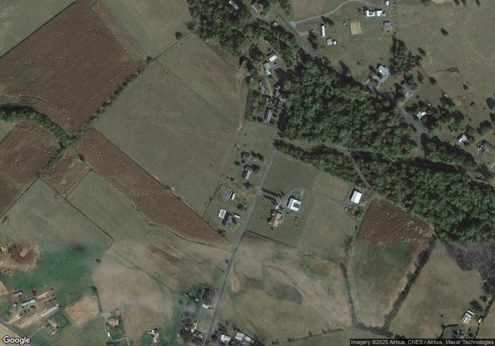
Map
Nearby Homes
- 6 Charles St
- 1022 Valley Burg Rd
- 2903 Dry Run Rd
- 450 Creekside Dr
- 0 Fairview Rd Unit VAPA2005502
- 223 Fairview Rd
- 0 Somers Rd
- TBD Somers Rd
- 0 Unit VAPA2004892
- 0 Atkins Dr Unit VAPA2001686
- 1312 E Main St
- 1 Rowe Dr
- 15 Painter St
- 0 None Unit 660498
- TBD Dry Creek Rd
- 0 Seventh St
- 0 Collins Ave Unit VAPA2003268
- 406 6th St
- 406 Sixth St
- 0 Woodland Dr Unit VAPA2005678
- 2089 Brookstone Rd
- 2120 Brookstone Rd
- 2217 Brookstone Rd
- 2217 Brookstone Rd
- 2279 Brookstone Rd
- 2017 Brookstone Rd
- 0 Dry Run Rd Unit 1000137767
- 0 Dry Run Rd Unit VAPA106276
- 0 Dry Run Rd Unit PA7211570
- 0 Dry Run Rd Unit VAPA2002972
- 0 Dry Run Rd Unit VAPA2001522
- 0 Dry Run Rd Unit VAPA2000900
- 0 Dry Run Rd Unit 627296
- 0 Dry Run Rd Unit VAPA106306
- 0 Dry Run Rd Unit VAPA106060
- 0 Dry Run Rd Unit VAPA105824
- 0 Dry Run Rd Unit VAPA105608
- 0 Dry Run Rd Unit VAPA104806
- 1775 Dry Run Rd
- 1720 Dry Run Rd
Your Personal Tour Guide
Ask me questions while you tour the home.