Estimated Value: $144,000 - $193,000
3
Beds
1
Bath
1,218
Sq Ft
$137/Sq Ft
Est. Value
About This Home
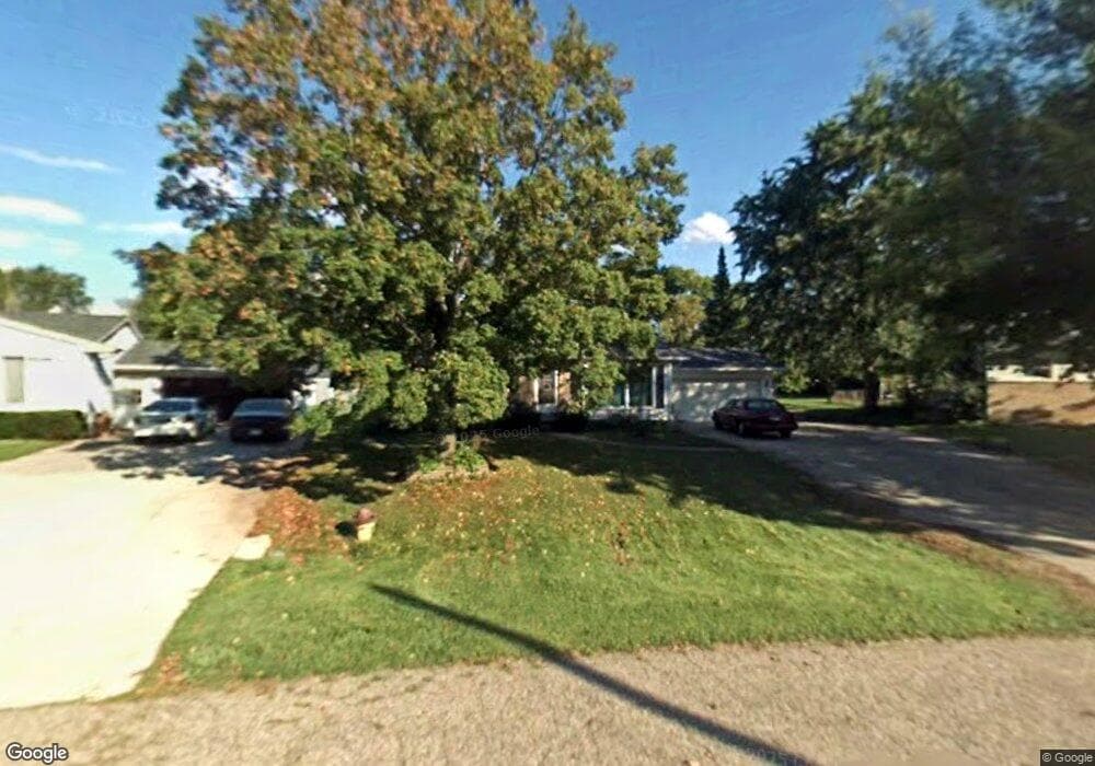
This home is located at 2127 Deerfield Dr, Flint, MI 48532 and is currently estimated at $167,138, approximately $137 per square foot. 2127 Deerfield Dr is a home located in Genesee County with nearby schools including Carman-Ainsworth High School, Genesee STEM Academy, and First Flint Seventh-day Adventist Christian School.
Ownership History
Date
Name
Owned For
Owner Type
Purchase Details
Closed on
Feb 17, 2021
Sold by
Noack Leon Vern and Noack Shirley May
Bought by
Noack Leon Vern and Noack Shirley May
Current Estimated Value
Purchase Details
Closed on
Jun 5, 2014
Sold by
Noack Leon V
Bought by
Noack Leon V and Noack Shirley M
Purchase Details
Closed on
Jun 30, 2010
Sold by
Federal Home Loan Mortgage Corporation
Bought by
Chase Home Finance Llc
Purchase Details
Closed on
Apr 28, 2010
Sold by
Federal Home Loan Mortgage Corporation
Bought by
Homesales Inc
Create a Home Valuation Report for This Property
The Home Valuation Report is an in-depth analysis detailing your home's value as well as a comparison with similar homes in the area
Home Values in the Area
Average Home Value in this Area
Purchase History
| Date | Buyer | Sale Price | Title Company |
|---|---|---|---|
| Noack Leon Vern | -- | None Available | |
| Noack Leon V | -- | None Available | |
| Chase Home Finance Llc | -- | None Available | |
| Homesales Inc | -- | First American Title |
Source: Public Records
Tax History
| Year | Tax Paid | Tax Assessment Tax Assessment Total Assessment is a certain percentage of the fair market value that is determined by local assessors to be the total taxable value of land and additions on the property. | Land | Improvement |
|---|---|---|---|---|
| 2025 | $2,106 | $80,800 | $0 | $0 |
| 2024 | $1,066 | $82,200 | $0 | $0 |
| 2023 | $1,017 | $70,800 | $0 | $0 |
| 2022 | $895 | $60,600 | $0 | $0 |
| 2021 | $1,841 | $53,000 | $0 | $0 |
| 2020 | $914 | $47,500 | $0 | $0 |
| 2019 | $900 | $43,600 | $0 | $0 |
| 2018 | $1,772 | $40,000 | $0 | $0 |
| 2017 | $1,632 | $40,000 | $0 | $0 |
| 2016 | $1,673 | $38,900 | $0 | $0 |
| 2015 | $1,512 | $39,000 | $0 | $0 |
| 2014 | $897 | $37,600 | $0 | $0 |
| 2012 | -- | $36,900 | $36,900 | $0 |
Source: Public Records
Map
Nearby Homes
- 5323 Elmsford Dr
- 5290 Brobeck St
- 5227 Dania St
- 2052 S Dye Rd
- 5200 Elko St
- 5423 Meadowcrest Dr
- 5151 Brobeck St
- 0000 Reuben Reuben St
- 1460 S Dye Rd
- 2356 S Dye Rd
- 2521 White Oak Place
- 6007 Corunna Rd
- 5526 Corunna Rd
- 1417 Grassmere Ave
- 1455 S Linden Rd
- 4480 Corunna Rd
- 4474 Corunna Rd
- 10 Acres T A Mansour Blvd
- 3.9 Acres W Court St
- 6090 Lancaster Dr
- 2121 Deerfield Dr
- 5305 Elmsford Dr
- 2116 Deerfield Dr
- 5311 Elmsford Dr
- 2108 Deerfield Dr
- 2109 Deerfield Dr
- 2128 S Dye Rd Unit Bldg-Unit
- 2128 S Dye Rd
- 2118 S Dye Rd
- 2140 S Dye Rd
- 5317 Elmsford Dr
- 2102 Deerfield Dr
- 2103 Deerfield Dr
- 2097 Deerfield Dr
- 5324 Elmsford Dr
- 2108 S Dye Rd
- 2152 S Dye Rd
- 2096 Deerfield Dr
- 2091 Deerfield Dr
- 5312 Brobeck St
Your Personal Tour Guide
Ask me questions while you tour the home.