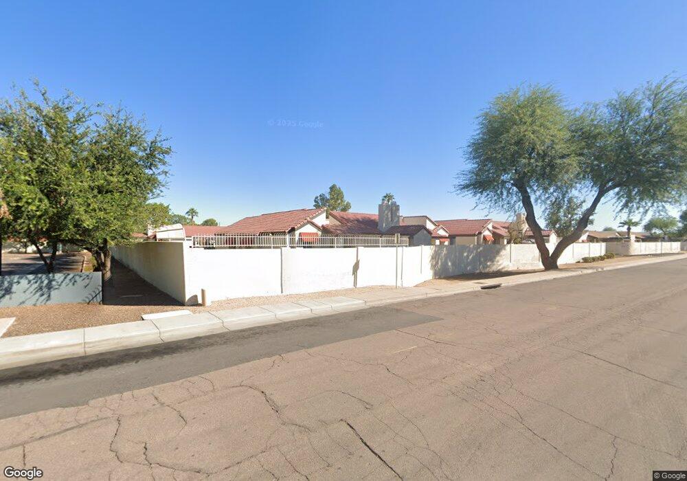
2127 E 10th St Tempe, AZ 85281
Apache Neighborhood
3
Beds
2
Baths
1,036
Sq Ft
--
Built
About This Home
This home is located at 2127 E 10th St, Tempe, AZ 85281. 2127 E 10th St is a home located in Maricopa County with nearby schools including Thew Elementary School, Connolly Middle School, and McClintock High School.
Create a Home Valuation Report for This Property
The Home Valuation Report is an in-depth analysis detailing your home's value as well as a comparison with similar homes in the area
Home Values in the Area
Average Home Value in this Area
Map
Nearby Homes
- 2129 E Kirkland Ln Unit 1
- 2123 E Kirkland Ln Unit 4
- 2127 E 10th St Unit 4
- 2122 E Kirkland Ln Unit 3
- 2145 E Center Ln Unit 3
- 2235 E Victory Dr
- 2136 E Lemon St
- 1272 S Price Rd Unit 80
- 2057 E Orange St
- 2050 E 10th St
- 850 S River Dr Unit 2020
- 850 S River Dr Unit 1093
- 850 S River Dr Unit 1054
- 2045 E Orange St
- 2340 E University Dr Unit 144
- 2026 E Orange St
- 807 S George Dr
- 807 S George Dr Unit 1
- 712 S Lebanon Ln Unit 2D
- 901 S Smith Rd Unit 1045
- 2127 E 10th St Unit 2
- 2127 E 10th St Unit 3
- 2127 E 10th St Unit 1
- 2127 E 10th St Unit 84
- 2131 E 10th St Unit 1
- 2131 E 10th St Unit 2
- 2131 E 10th St Unit 86
- 2131 E 10th St Unit 3
- 2131 E 10th St
- 2124 E 10th St Unit 2
- 2124 E 10th St Unit 78
- 2124 E 10th St Unit 4
- 2124 E 10th St Unit 3
- 2124 E 10th St Unit 1
- 1006 S Siesta Ln
- 2128 E 10th St Unit 3
- 2128 E 10th St Unit 75
- 2128 E 10th St Unit 4
- 2128 E 10th St Unit 2
- 2128 E 10th St Unit 73
Your Personal Tour Guide
Ask me questions while you tour the home.