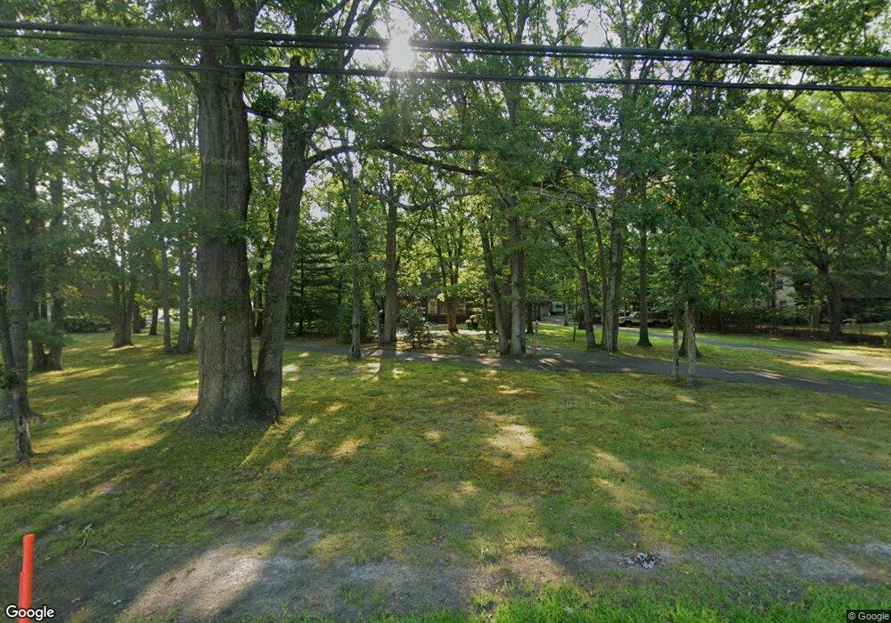
2127 Vermont Ave Toms River, NJ 08755
Estimated Value: $805,175 - $874,000
3
Beds
2
Baths
3,760
Sq Ft
$224/Sq Ft
Est. Value
About This Home
This home is located at 2127 Vermont Ave, Toms River, NJ 08755 and is currently estimated at $844,044, approximately $224 per square foot. 2127 Vermont Ave is a home located in Ocean County with nearby schools including Ocean Academy Charter School, Ocean County Christian Academy, and Talmud Torah Bais Avrohom.
Ownership History
Date
Name
Owned For
Owner Type
Purchase Details
Closed on
Aug 16, 2021
Sold by
Wolcott Jeanette
Bought by
Wolcott Jeanette Mary and Wolcott John Norman
Current Estimated Value
Purchase Details
Closed on
May 17, 1996
Sold by
Irizarry Victor
Bought by
Wolcott Jeanette
Home Financials for this Owner
Home Financials are based on the most recent Mortgage that was taken out on this home.
Original Mortgage
$90,000
Outstanding Balance
$5,021
Interest Rate
7.77%
Estimated Equity
$839,023
Create a Home Valuation Report for This Property
The Home Valuation Report is an in-depth analysis detailing your home's value as well as a comparison with similar homes in the area
Home Values in the Area
Average Home Value in this Area
Purchase History
| Date | Buyer | Sale Price | Title Company |
|---|---|---|---|
| Wolcott Jeanette Mary | -- | None Available | |
| Wolcott Jeanette | $200,000 | -- |
Source: Public Records
Mortgage History
| Date | Status | Borrower | Loan Amount |
|---|---|---|---|
| Open | Wolcott Jeanette | $90,000 |
Source: Public Records
Tax History Compared to Growth
Tax History
| Year | Tax Paid | Tax Assessment Tax Assessment Total Assessment is a certain percentage of the fair market value that is determined by local assessors to be the total taxable value of land and additions on the property. | Land | Improvement |
|---|---|---|---|---|
| 2025 | $8,412 | $461,700 | $256,000 | $205,700 |
| 2024 | $7,992 | $461,700 | $256,000 | $205,700 |
| 2023 | $7,950 | $461,700 | $256,000 | $205,700 |
| 2022 | $7,950 | $476,600 | $256,000 | $220,600 |
| 2021 | $7,113 | $305,900 | $136,500 | $169,400 |
| 2020 | $7,608 | $305,900 | $136,500 | $169,400 |
| 2019 | $7,277 | $305,900 | $136,500 | $169,400 |
| 2018 | $7,204 | $305,900 | $136,500 | $169,400 |
| 2017 | $7,155 | $305,900 | $136,500 | $169,400 |
| 2016 | $6,987 | $305,900 | $136,500 | $169,400 |
| 2015 | $6,736 | $305,900 | $136,500 | $169,400 |
| 2014 | $6,402 | $305,900 | $136,500 | $169,400 |
Source: Public Records
Map
Nearby Homes
- 1183 Cynthia Ln
- 1094 Cox Cro Rd
- 2009 Coconut Grove Ct
- 1088 Cox Cro Rd
- 2001 Coconut Grove Ct
- 2020 Coconut Grove Ct
- 1009 Bal Harbor Dr
- 2005 Coconut Grove Rd
- 2016 Coconut Grove Ct
- 1020 Bal Harbor Dr
- 1017 Bal Harbor Dr
- 1021 Bal Harbor Dr
- 1004 Bal Harbor Dr
- 1012 Bal Harbor Dr
- 1008 Bal Harbor Dr
- 1141 Hickory St
- 207 Harvest Way
- 1886 New Hampshire Ave
- 1970 Cherryvale Ct
- 1849 New Hampshire Ave
- 2131 Vermont Ave
- 2123 Vermont Ave
- 2119 Vermont Ave
- 2130 Vermont Ave
- 1198 Marisa Dr
- 1243 Mercedes Bend
- 1196 Arcadia Dr
- 2153 Vermont Ave
- 2115 Vermont Ave
- 1193 Arcadia Dr
- 1239 Mercedes Bend
- 1194 Marisa Dr
- 1248 Mercedes Bend
- 1270 Cox Cro Rd
- 1199 Marisa Dr
- 1195 Cynthia Ln
- 1192 Arcadia Dr
- 1187 Arcadia Dr
- 1235 Mercedes Bend
- 1190 Marisa Dr
