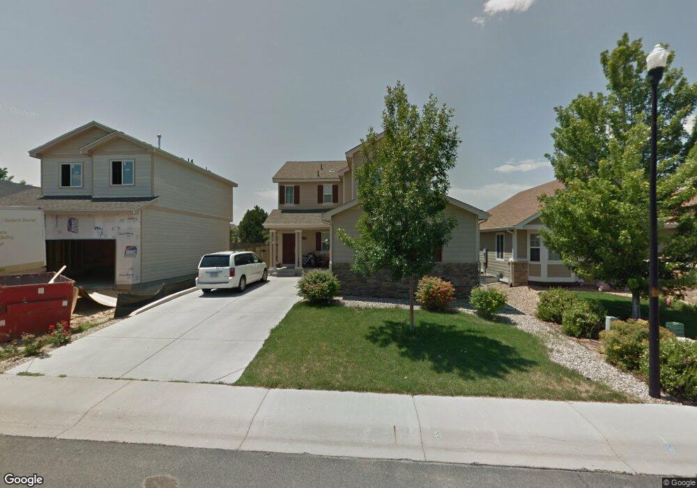
2128 Blue Wing Dr Johnstown, CO 80534
Estimated Value: $517,406 - $585,000
4
Beds
3
Baths
1,948
Sq Ft
$282/Sq Ft
Est. Value
About This Home
This home is located at 2128 Blue Wing Dr, Johnstown, CO 80534 and is currently estimated at $548,602, approximately $281 per square foot. 2128 Blue Wing Dr is a home located in Weld County with nearby schools including Pioneer Ridge Elementary School, Milliken Middle School, and Roosevelt High School.
Ownership History
Date
Name
Owned For
Owner Type
Purchase Details
Closed on
Jul 18, 2006
Sold by
Lennar Colorado Llc
Bought by
Champa Ian and Champa Alisa M
Current Estimated Value
Home Financials for this Owner
Home Financials are based on the most recent Mortgage that was taken out on this home.
Original Mortgage
$206,410
Outstanding Balance
$122,202
Interest Rate
6.6%
Mortgage Type
FHA
Estimated Equity
$426,400
Create a Home Valuation Report for This Property
The Home Valuation Report is an in-depth analysis detailing your home's value as well as a comparison with similar homes in the area
Home Values in the Area
Average Home Value in this Area
Purchase History
| Date | Buyer | Sale Price | Title Company |
|---|---|---|---|
| Champa Ian | $209,650 | North American Title |
Source: Public Records
Mortgage History
| Date | Status | Borrower | Loan Amount |
|---|---|---|---|
| Open | Champa Ian | $206,410 |
Source: Public Records
Tax History Compared to Growth
Tax History
| Year | Tax Paid | Tax Assessment Tax Assessment Total Assessment is a certain percentage of the fair market value that is determined by local assessors to be the total taxable value of land and additions on the property. | Land | Improvement |
|---|---|---|---|---|
| 2025 | $3,015 | $32,820 | $9,380 | $23,440 |
| 2024 | $3,015 | $32,820 | $9,380 | $23,440 |
| 2023 | $2,832 | $34,620 | $5,750 | $28,870 |
| 2022 | $2,662 | $24,820 | $5,840 | $18,980 |
| 2021 | $2,870 | $25,540 | $6,010 | $19,530 |
| 2020 | $2,603 | $23,830 | $5,580 | $18,250 |
| 2019 | $2,036 | $23,830 | $5,580 | $18,250 |
| 2018 | $1,838 | $21,500 | $4,680 | $16,820 |
| 2017 | $1,868 | $21,500 | $4,680 | $16,820 |
| 2016 | $1,690 | $19,440 | $4,300 | $15,140 |
| 2015 | $1,713 | $19,440 | $4,300 | $15,140 |
| 2014 | $1,390 | $16,280 | $3,580 | $12,700 |
Source: Public Records
Map
Nearby Homes
- 2128 Redhead Dr
- 370 Saxony Rd
- 34 Saxony Rd
- 1739 Canvasback Dr
- 230 Saxony Rd
- 2507 Rouen Ln
- 139 Muscovey Ln
- 254 Bittern Dr
- 1538 Mallard Dr
- 207 Bittern Dr
- 103 Muscovey Ln
- 1519 Mallard Dr
- 2724 White Wing Rd
- 2708 Aylesbury Way
- 2683 Pochard Ct
- 2726 Aylesbury Way
- 3000 Panorama Ct
- 3020 Panorama Ct
- 3060 Panorama Ct
- 3081 Panorama Ct
- 2134 Blue Wing Dr
- 2140 Blue Wing Dr
- 2116 Blue Wing Dr
- 2146 Blue Wing Dr
- 2110 Blue Wing Dr
- 2127 Blue Wing Dr
- 2121 Blue Wing Dr
- 2134 Redhead Dr
- 0 Blue Wing Dr Unit 548551
- 0 Blue Wing Dr Unit 548542
- 0 Blue Wing Dr Unit 548537
- 0 Blue Wing Dr Unit 548532
- 0 Blue Wing Dr Unit 548522
- 0 Blue Wing Dr Unit 548519
- 0 Blue Wing Dr Unit 548517
- 0 Blue Wing Dr Unit 634196
- 2115 Blue Wing Dr
- 2152 Blue Wing Dr
- 2104 Blue Wing Dr
- 2109 Blue Wing Dr