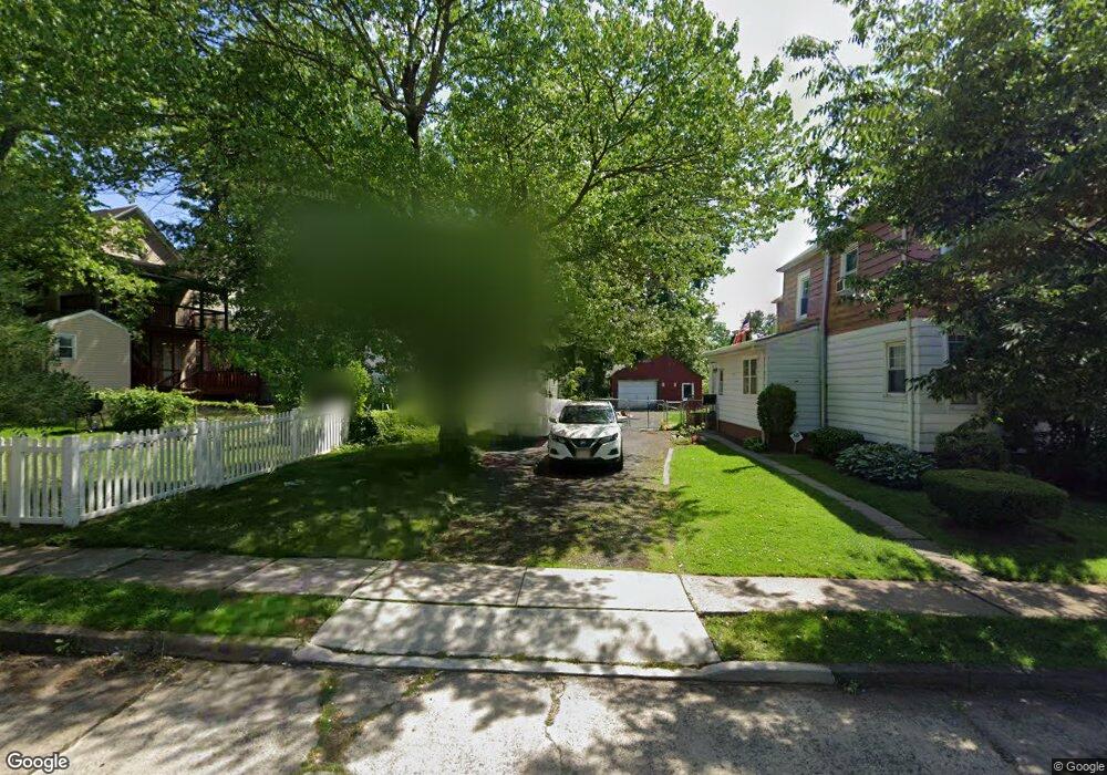
2128 No St Rahway, NJ 07065
Estimated Value: $446,937 - $513,000
--
Bed
--
Bath
--
Sq Ft
4,182
Sq Ft Lot
About This Home
This home is located at 2128 No St, Rahway, NJ 07065 and is currently estimated at $479,969. 2128 No St is a home with nearby schools including Rahway High School and St John The Apostle School.
Ownership History
Date
Name
Owned For
Owner Type
Purchase Details
Closed on
Sep 21, 2023
Sold by
Brown Harold K and Brown Darlene L
Bought by
Brown Harold K
Current Estimated Value
Purchase Details
Closed on
Oct 21, 2016
Sold by
Brown Harold K
Bought by
Brown Harold K and Brown Darlene L
Purchase Details
Closed on
Jun 12, 2009
Sold by
Sala Ann Della and Mielka Theresa
Bought by
Brown Harold K
Home Financials for this Owner
Home Financials are based on the most recent Mortgage that was taken out on this home.
Original Mortgage
$216,015
Interest Rate
4.91%
Mortgage Type
FHA
Create a Home Valuation Report for This Property
The Home Valuation Report is an in-depth analysis detailing your home's value as well as a comparison with similar homes in the area
Home Values in the Area
Average Home Value in this Area
Purchase History
| Date | Buyer | Sale Price | Title Company |
|---|---|---|---|
| Brown Harold K | -- | Capital Title | |
| Brown Harold K | -- | -- | |
| Brown Harold K | $220,000 | None Available |
Source: Public Records
Mortgage History
| Date | Status | Borrower | Loan Amount |
|---|---|---|---|
| Previous Owner | Brown Harold K | $216,015 |
Source: Public Records
Tax History Compared to Growth
Tax History
| Year | Tax Paid | Tax Assessment Tax Assessment Total Assessment is a certain percentage of the fair market value that is determined by local assessors to be the total taxable value of land and additions on the property. | Land | Improvement |
|---|---|---|---|---|
| 2025 | $489 | $6,600 | $6,600 | -- |
| 2024 | $473 | $6,600 | $6,600 | $0 |
| 2023 | $473 | $6,600 | $6,600 | $0 |
| 2022 | $463 | $6,600 | $6,600 | $0 |
| 2021 | $459 | $6,600 | $6,600 | $0 |
| 2020 | $457 | $6,600 | $6,600 | $0 |
| 2019 | $451 | $6,600 | $6,600 | $0 |
| 2018 | $442 | $6,600 | $6,600 | $0 |
| 2017 | $431 | $6,600 | $6,600 | $0 |
| 2016 | $422 | $6,600 | $6,600 | $0 |
| 2015 | $417 | $6,600 | $6,600 | $0 |
| 2014 | $409 | $6,600 | $6,600 | $0 |
Source: Public Records
Map
Nearby Homes
- 2184 Evans St Unit 1
- 2000 Whittier St
- 374 Raleigh Rd
- 272 Egolf Dr
- 244 W Scott Ave Unit 2
- 392 Lower Alden Dr
- 554 Harrison St
- 826 W Scott Ave
- 2012 Price St
- 653 Cora Place
- 1751 Oliver St Unit 59
- 1751 Oliver St Unit 1759
- 910 Apgar Terrace
- 2315 Desisto Dr
- 211 Bradford Ave
- 214 Bradford Ave
- 1811 W Price St
- 403 Seminary Ave
- 380 Seminary Ave
- 128 Lexington Ave