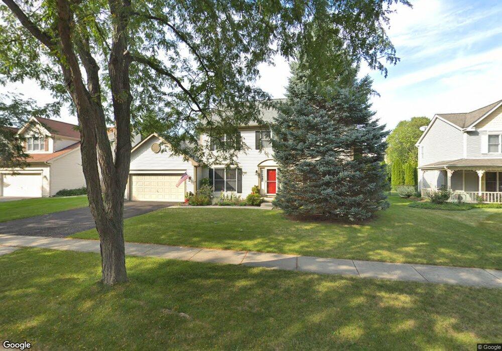
2128 Spaulding Ave Unit 2 West Dundee, IL 60118
Estimated Value: $450,548 - $481,000
4
Beds
3
Baths
2,430
Sq Ft
$190/Sq Ft
Est. Value
About This Home
This home is located at 2128 Spaulding Ave Unit 2, West Dundee, IL 60118 and is currently estimated at $461,387, approximately $189 per square foot. 2128 Spaulding Ave Unit 2 is a home located in Kane County with nearby schools including Dundee Highlands Elementary School, Dundee Middle School, and Harry D Jacobs High School.
Ownership History
Date
Name
Owned For
Owner Type
Purchase Details
Closed on
Aug 23, 2011
Sold by
Pankau Edward F and Becker Pankau Bonita
Bought by
Haines Daniel P and Haines Melanie Ann
Current Estimated Value
Home Financials for this Owner
Home Financials are based on the most recent Mortgage that was taken out on this home.
Original Mortgage
$196,000
Outstanding Balance
$135,771
Interest Rate
4.58%
Mortgage Type
New Conventional
Estimated Equity
$325,616
Purchase Details
Closed on
Feb 5, 1998
Sold by
Pankau Edward F and Becker Pankau Bonita
Bought by
Pankau Edward F and Becker Pankau Bonita
Create a Home Valuation Report for This Property
The Home Valuation Report is an in-depth analysis detailing your home's value as well as a comparison with similar homes in the area
Home Values in the Area
Average Home Value in this Area
Purchase History
| Date | Buyer | Sale Price | Title Company |
|---|---|---|---|
| Haines Daniel P | $245,000 | Nlt Title L L C | |
| Pankau Edward F | -- | -- |
Source: Public Records
Mortgage History
| Date | Status | Borrower | Loan Amount |
|---|---|---|---|
| Open | Haines Daniel P | $196,000 |
Source: Public Records
Tax History
| Year | Tax Paid | Tax Assessment Tax Assessment Total Assessment is a certain percentage of the fair market value that is determined by local assessors to be the total taxable value of land and additions on the property. | Land | Improvement |
|---|---|---|---|---|
| 2024 | $9,336 | $122,531 | $25,730 | $96,801 |
| 2023 | $8,750 | $110,249 | $23,151 | $87,098 |
| 2022 | $8,565 | $103,223 | $23,151 | $80,072 |
| 2021 | $8,265 | $97,463 | $21,859 | $75,604 |
| 2020 | $8,111 | $95,272 | $21,368 | $73,904 |
| 2019 | $7,850 | $90,443 | $20,285 | $70,158 |
| 2018 | $8,178 | $91,752 | $19,883 | $71,869 |
| 2017 | $7,788 | $85,830 | $18,600 | $67,230 |
| 2016 | $7,749 | $81,268 | $23,811 | $57,457 |
| 2015 | -- | $76,151 | $22,312 | $53,839 |
| 2014 | -- | $74,048 | $21,696 | $52,352 |
| 2013 | -- | $76,314 | $22,360 | $53,954 |
Source: Public Records
Map
Nearby Homes
- 817 Lindsay Ln
- 809 Lindsay Ln
- 815 Lindsay Ln
- 850 Tartans Dr
- 1107 Pember Cir Unit 2
- 1146 Pember Cir Unit 2
- 822 Lindsay Ln
- 816 Lindsay Ln
- 818 Lindsay Ln
- 1811 W Main St
- 801 Lindsay Ln
- 821 Lindsay Ln
- 820 Lindsay Ln
- 804 Lindsay Ln
- 808 Lindsay Ln
- 810 Lindsay Ln
- 1023 Shagbark Ln
- 1031 Shagbark Ln
- 1601 Higgins Rd
- 805 Lindsay Ln
- 2134 Spaulding Ave
- 2114 Spaulding Ave
- 964 Pember Cir
- 956 Pember Cir
- 2110 Spaulding Ave
- 2146 Spaulding Ave
- 2127 Spaulding Ave
- 948 Pember Cir
- 978 Pember Cir
- 2139 Spaulding Ave
- 2113 Spaulding Ave
- 2145 Spaulding Ave
- 2068 Spaulding Ave
- 2109 Spaulding Ave Unit 2
- 2152 Spaulding Ave
- 936 Pember Cir
- 982 Pember Cir
- 2153 Spaulding Ave
- 734 Macgregor Ct
- 947 Pember Cir
Your Personal Tour Guide
Ask me questions while you tour the home.