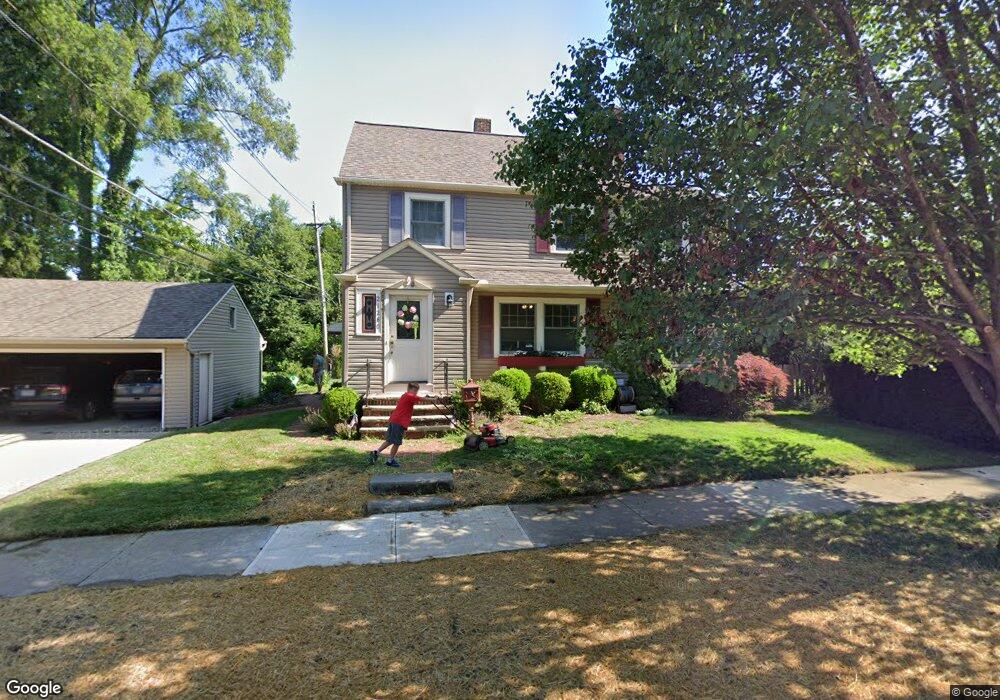
21280 Clifford Dr Cleveland, OH 44126
Estimated Value: $266,000 - $318,000
3
Beds
2
Baths
1,518
Sq Ft
$194/Sq Ft
Est. Value
About This Home
This home is located at 21280 Clifford Dr, Cleveland, OH 44126 and is currently estimated at $293,761, approximately $193 per square foot. 21280 Clifford Dr is a home located in Cuyahoga County with nearby schools including Gilles-Sweet Elementary School, Lewis F Mayer Middle School, and Fairview High School.
Ownership History
Date
Name
Owned For
Owner Type
Purchase Details
Closed on
May 14, 2003
Sold by
Baker William K and Baker Virginia A
Bought by
Dicken Riley A and Dicken Erika M
Current Estimated Value
Home Financials for this Owner
Home Financials are based on the most recent Mortgage that was taken out on this home.
Original Mortgage
$139,500
Outstanding Balance
$60,983
Interest Rate
5.87%
Mortgage Type
Purchase Money Mortgage
Estimated Equity
$232,778
Purchase Details
Closed on
Jan 1, 1982
Bought by
Baker William K and Baker Virginia A
Create a Home Valuation Report for This Property
The Home Valuation Report is an in-depth analysis detailing your home's value as well as a comparison with similar homes in the area
Home Values in the Area
Average Home Value in this Area
Purchase History
| Date | Buyer | Sale Price | Title Company |
|---|---|---|---|
| Dicken Riley A | $155,000 | -- | |
| Baker William K | -- | -- |
Source: Public Records
Mortgage History
| Date | Status | Borrower | Loan Amount |
|---|---|---|---|
| Open | Dicken Riley A | $139,500 |
Source: Public Records
Tax History Compared to Growth
Tax History
| Year | Tax Paid | Tax Assessment Tax Assessment Total Assessment is a certain percentage of the fair market value that is determined by local assessors to be the total taxable value of land and additions on the property. | Land | Improvement |
|---|---|---|---|---|
| 2024 | $6,452 | $94,010 | $10,325 | $83,685 |
| 2023 | $5,622 | $69,970 | $9,240 | $60,730 |
| 2022 | $5,482 | $69,970 | $9,240 | $60,730 |
| 2021 | $5,601 | $69,970 | $9,240 | $60,730 |
| 2020 | $5,152 | $56,420 | $7,460 | $48,970 |
| 2019 | $4,579 | $161,200 | $21,300 | $139,900 |
| 2018 | $4,312 | $56,420 | $7,460 | $48,970 |
| 2017 | $4,395 | $50,020 | $6,650 | $43,370 |
| 2016 | $4,365 | $50,020 | $6,650 | $43,370 |
| 2015 | $3,971 | $50,020 | $6,650 | $43,370 |
| 2014 | $3,971 | $47,640 | $6,340 | $41,300 |
Source: Public Records
Map
Nearby Homes
- 4243 W 212th St
- 4291 W 215th St
- 21237 Westwood Rd
- 21143 Westwood Rd
- 4298 W 215th St
- 21236 Northwood Ave
- 4036 W 219th St
- 4140 W 220th St
- 21503 Hillsdale Ave
- 4235 W 222nd St
- 20778 Woodstock Ave
- 3733 River Ln
- 20688 Belvidere Ave
- 3826 W 210th St
- 22377 Rivergate Dr
- 3712 Addington Ct
- 20187 Grannis Rd
- 3740 W 214th St
- 21872 Addington Blvd Unit 15
- 21888 Eaton Rd
- 4360 W 212th St
- 4346 W 212th St
- 4229 W 214th St
- 4237 W 214th St
- 4221 W 214th St
- 4338 W 212th St
- 4245 W 214th St
- 4213 W 214th St
- 21271 Clifford Dr
- 4330 W 212th St
- 4253 W 214th St
- 4205 W 214th St
- 4261 W 214th St
- 4197 W 214th St
- 4314 W 212th St
- 4269 W 214th St
- 4189 W 214th St
- 4306 W 212th St
- 4359 W 212th St