21280 McPhall Rd Unit Bldg-Unit Armada, MI 48005
Estimated Value: $343,163 - $376,000
Studio
2
Baths
1,400
Sq Ft
$257/Sq Ft
Est. Value
About This Home
This home is located at 21280 McPhall Rd Unit Bldg-Unit, Armada, MI 48005 and is currently estimated at $360,291, approximately $257 per square foot. 21280 McPhall Rd Unit Bldg-Unit is a home located in Macomb County with nearby schools including Orville C. Krause Elementary School, Armada Middle School, and Armada High School.
Ownership History
Date
Name
Owned For
Owner Type
Purchase Details
Closed on
Aug 3, 2018
Sold by
Marcath Alton E and Marcath Donna T
Bought by
Wood Kyle J
Current Estimated Value
Home Financials for this Owner
Home Financials are based on the most recent Mortgage that was taken out on this home.
Original Mortgage
$206,043
Outstanding Balance
$182,206
Interest Rate
5.37%
Mortgage Type
FHA
Estimated Equity
$178,085
Purchase Details
Closed on
Mar 8, 2000
Sold by
Robert A Golab
Bought by
Alton E Marcath
Home Financials for this Owner
Home Financials are based on the most recent Mortgage that was taken out on this home.
Original Mortgage
$150,000
Interest Rate
8.03%
Create a Home Valuation Report for This Property
The Home Valuation Report is an in-depth analysis detailing your home's value as well as a comparison with similar homes in the area
Home Values in the Area
Average Home Value in this Area
Purchase History
| Date | Buyer | Sale Price | Title Company |
|---|---|---|---|
| Wood Kyle J | $225,000 | Bell Title Agency | |
| Alton E Marcath | $167,000 | -- |
Source: Public Records
Mortgage History
| Date | Status | Borrower | Loan Amount |
|---|---|---|---|
| Open | Wood Kyle J | $206,043 | |
| Previous Owner | Alton E Marcath | $150,000 |
Source: Public Records
Tax History
| Year | Tax Paid | Tax Assessment Tax Assessment Total Assessment is a certain percentage of the fair market value that is determined by local assessors to be the total taxable value of land and additions on the property. | Land | Improvement |
|---|---|---|---|---|
| 2025 | $2,318 | $138,700 | $0 | $0 |
| 2024 | $23 | $134,700 | $0 | $0 |
| 2023 | $2,136 | $118,700 | $0 | $0 |
| 2022 | $3,234 | $107,200 | $0 | $0 |
| 2021 | $3,145 | $103,000 | $0 | $0 |
| 2020 | $1,964 | $100,400 | $0 | $0 |
| 2019 | $2,888 | $94,000 | $0 | $0 |
| 2018 | $1,889 | $86,100 | $0 | $0 |
| 2017 | $1,864 | $80,600 | $20,900 | $59,700 |
| 2016 | $1,850 | $80,600 | $0 | $0 |
| 2015 | -- | $74,300 | $0 | $0 |
| 2011 | -- | $65,805 | $18,388 | $47,417 |
Source: Public Records
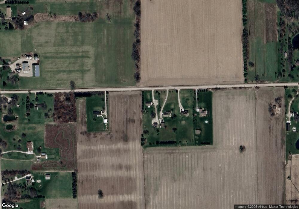
Map
Nearby Homes
- VL Bordman Rd
- 21830 Bordman Rd
- 73763 Coon Creek Rd
- 2.0 Acres Vacant Lan Coon Creek Rd
- 23100 Pratt Rd
- 23335 McPhall Rd
- 76845 North Ave
- 0 Fox Ridge 1-A Unit 50200438
- 00 33 Mile Rd
- 0 Irwin Unit 20251018591
- 00 Irwin Rd
- 408 Howell Rd
- 5414 Bordman Rd
- TBD Bordman Rd
- 14150 Hough Rd
- 13895 Church Rd
- 22601 W Main St
- 73213 Coon Creek Rd
- 21572 34 Mile Rd
- 23644 E Main St
- 21280 McPhall Rd
- 21320 McPhall Rd
- 21352 McPhall Rd
- 21170 McPhall Rd
- 21240 McPhall Rd
- 21360 McPhall Rd
- 78800 Coon Creek Rd
- 21130 McPhall Rd
- 78670 Coon Creek Rd
- 78550 Coon Creek Rd
- 21520 McPhall Rd
- 78980 Coon Creek Rd
- 21600 McPhall Rd
- 21655 McPhall Rd
- 21515 McPhall Rd
- 79260 Coon Creek Rd
- 78440 Coon Creek Rd
- 79400 Coon Creek Rd
- 21705 McPhall Rd
- 79470 Coon Creek Rd
Your Personal Tour Guide
Ask me questions while you tour the home.