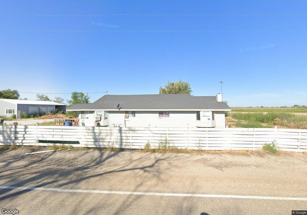
21287 Pinto Rd Caldwell, ID 83607
Estimated Value: $674,000 - $1,678,131
3
Beds
2
Baths
2,025
Sq Ft
$524/Sq Ft
Est. Value
About This Home
This home is located at 21287 Pinto Rd, Caldwell, ID 83607 and is currently estimated at $1,061,533, approximately $524 per square foot. 21287 Pinto Rd is a home located in Canyon County with nearby schools including West Canyon Elementary School, Vallivue Middle School, and Vallivue High School.
Ownership History
Date
Name
Owned For
Owner Type
Purchase Details
Closed on
Oct 18, 2024
Sold by
Consolidated Properties Of Idaho Llc
Bought by
Texas Materials Group Inc
Current Estimated Value
Purchase Details
Closed on
Jun 25, 2014
Sold by
Centers Farm Llc
Bought by
Consolidated Properties Of Idaho Llc
Purchase Details
Closed on
Apr 13, 2011
Sold by
Hopkins Growth Fund Llc
Bought by
Centers Farm Llc
Purchase Details
Closed on
Nov 30, 2010
Sold by
Martin Dean A and Martin Margaret E
Bought by
Hopkins Growth Fund Llc
Create a Home Valuation Report for This Property
The Home Valuation Report is an in-depth analysis detailing your home's value as well as a comparison with similar homes in the area
Purchase History
| Date | Buyer | Sale Price | Title Company |
|---|---|---|---|
| Texas Materials Group Inc | -- | Alliance Title | |
| Consolidated Properties Of Idaho Llc | -- | Titleone | |
| Centers Farm Llc | -- | Pioneer Title Canyon Ca | |
| Hopkins Growth Fund Llc | $396,952 | None Available |
Source: Public Records
Tax History
| Year | Tax Paid | Tax Assessment Tax Assessment Total Assessment is a certain percentage of the fair market value that is determined by local assessors to be the total taxable value of land and additions on the property. | Land | Improvement |
|---|---|---|---|---|
| 2025 | $7,678 | $1,371,240 | $1,002,840 | $368,400 |
| 2024 | $7,678 | $1,364,920 | $997,320 | $367,600 |
| 2023 | $6,052 | $1,358,130 | $992,230 | $365,900 |
| 2022 | $5,594 | $1,045,840 | $732,440 | $313,400 |
| 2021 | $7,932 | $882,740 | $618,640 | $264,100 |
| 2020 | $8,006 | $735,300 | $516,800 | $218,500 |
| 2019 | $8,216 | $674,290 | $466,390 | $207,900 |
| 2018 | $8,656 | $0 | $0 | $0 |
| 2017 | $5,268 | $0 | $0 | $0 |
| 2016 | $4,655 | $0 | $0 | $0 |
| 2015 | $4,295 | $0 | $0 | $0 |
| 2014 | $4,050 | $266,070 | $127,470 | $138,600 |
Source: Public Records
Map
Nearby Homes
- 20371 Red Top Rd
- 18396 Lower Pleasant Ridge Rd
- TBD Deer Flat Rd
- 19391 Pride Ln
- 23274 Stonewater Ln
- 19276 Quarter Mile Ln
- 17575 Hwy 20 26
- TBD Lake Front Ln
- 21364 Beechcraft Cir
- 0 Beechcraft Cir Unit 98967299
- 21313 Beechcraft Cir
- 21371 Beechcraft Cir
- 21238 Rosewood Dr
- 21567 Main St
- TBD Oakwood Dr
- 21301 Cessna Ct
- 21350 Cessna Ct
- 19234 Top Rd
- TBD Simplot Blvd
- 19288 Majestic View Place
- 21497 Pinto Rd
- 20971 Pinto Rd
- 20897 Pinto Rd
- 20895 Pinto Rd
- 20887 Pinto Rd
- 20873 Pinto Rd
- 19336 Lajolla Ln
- 19148 La Jolla Ln
- 21749 Pinto Rd
- 19418 Lajolla Ln
- 20771 Pinto Rd
- 19409 Lajolla Ln
- 2184 Tunnel Rd
- TBD Dixie River Rd
- 10300 Desert Sage Ln Ln
- 21852 Dixie River Rd
- 21856 Dixie River Rd
- 19533 Red Top Rd
- 18760 Dixie River Rd
- 19747 Red Top Rd
Your Personal Tour Guide
Ask me questions while you tour the home.