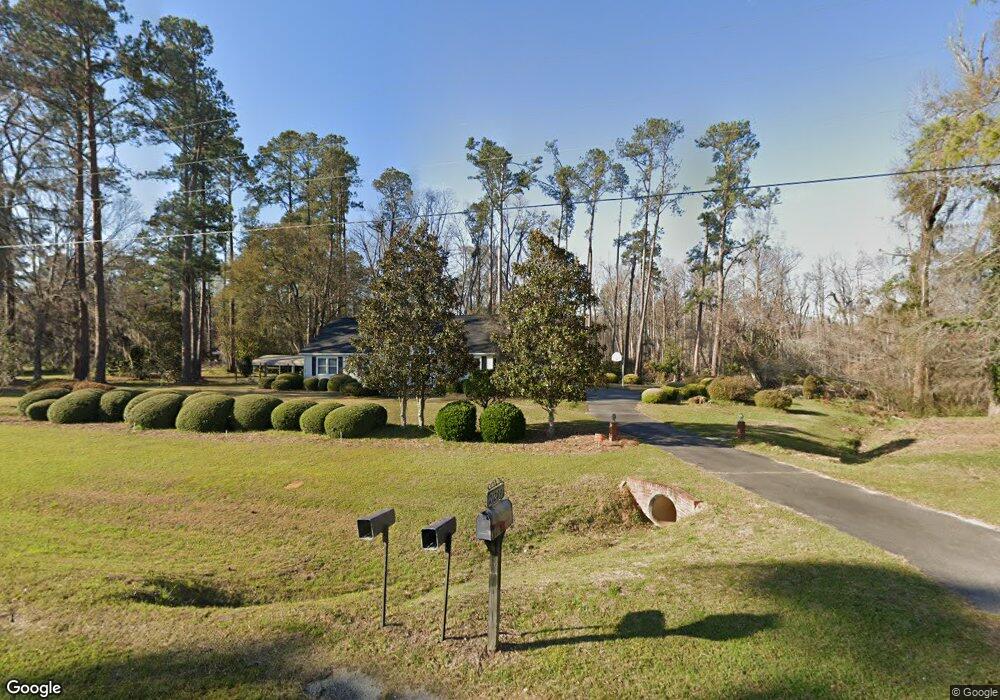
21289 Ga Highway 242 W Bartow, GA 30413
Estimated Value: $179,000 - $462,383
--
Bed
--
Bath
2,240
Sq Ft
$143/Sq Ft
Est. Value
About This Home
This home is located at 21289 Ga Highway 242 W, Bartow, GA 30413 and is currently estimated at $320,692, approximately $143 per square foot. 21289 Ga Highway 242 W is a home with nearby schools including Jefferson County High School and Glad Tidings Christian.
Ownership History
Date
Name
Owned For
Owner Type
Purchase Details
Closed on
Mar 26, 2024
Sold by
Salter Wallace Bruce
Bought by
Salter Wallace Bruce
Current Estimated Value
Purchase Details
Closed on
Aug 21, 2019
Sold by
Salter Gwendolyn T
Bought by
Salter Wallace Bruce and Salter Emory Bnnett
Purchase Details
Closed on
Feb 27, 2014
Sold by
Salter Gwendolyn T
Bought by
Salter Grove Baptist Church
Purchase Details
Closed on
Jun 2, 2006
Sold by
Salter Gwendolyn T
Bought by
Salter Grove Baptist Church
Create a Home Valuation Report for This Property
The Home Valuation Report is an in-depth analysis detailing your home's value as well as a comparison with similar homes in the area
Home Values in the Area
Average Home Value in this Area
Purchase History
| Date | Buyer | Sale Price | Title Company |
|---|---|---|---|
| Salter Wallace Bruce | -- | -- | |
| Salter Wallace Bruce Jr Trust | -- | -- | |
| Salter Wallace Bruce | -- | -- | |
| Salter Grove Baptist Church | -- | -- | |
| Salter Grove Baptist Church | -- | -- |
Source: Public Records
Tax History Compared to Growth
Tax History
| Year | Tax Paid | Tax Assessment Tax Assessment Total Assessment is a certain percentage of the fair market value that is determined by local assessors to be the total taxable value of land and additions on the property. | Land | Improvement |
|---|---|---|---|---|
| 2024 | $3,288 | $145,174 | $72,970 | $72,204 |
| 2023 | $3,217 | $103,469 | $37,102 | $66,367 |
| 2022 | $2,889 | $94,655 | $37,102 | $57,553 |
| 2021 | $2,947 | $88,870 | $32,216 | $56,654 |
| 2020 | $2,942 | $89,130 | $32,216 | $56,914 |
| 2019 | $2,614 | $82,358 | $27,276 | $55,082 |
| 2018 | $2,583 | $83,209 | $28,921 | $54,288 |
| 2017 | $2,592 | $85,964 | $31,130 | $54,834 |
| 2016 | $2,368 | $85,034 | $31,130 | $53,904 |
| 2015 | -- | $81,802 | $30,578 | $51,225 |
| 2014 | -- | $88,195 | $35,831 | $52,364 |
| 2013 | -- | $97,196 | $38,964 | $58,232 |
Source: Public Records
Map
Nearby Homes
- 7782 Church St
- 2829 Baldee Rd
- 7170 Church St
- 1055 Scruggs Cir
- 1274 Georgia 171
- 0 Newman Smith Rd Unit 10573699
- 0 Newman Smith Rd Unit 24281399
- 0 Newman Smith Rd Unit 20590671
- 0 Friendship Church Rd Unit 20193056
- 5758 Old Hwy 1
- 5758 Old Us Highway 1
- 65 W Calhoun St
- 35 Cheatham St
- 209 S Main St
- 24 E Calhoun St
- 65 E Calhoun St
- 3004 Pollett Rd
- 1301 Lincoln Park Rd
- 436 Bell St
- 152 N Martin l King Blvd
- 21076 Ga Highway 242 W
- 21042 Ga Highway 242 W
- 21344 Ga Highway 242 W
- 20913 Ga Highway 242 W
- 14683 Georgia 242
- 20837 Ga Highway 242 W
- 5584 Us Highway 319
- 11991 Georgia 242
- 0 Georgia 242
- 1158 Shop St
- 1068 Jordan Cir
- 20578 Ga Highway 242 W
- 1165 Shop St
- 1057 N Railroad Ave
- 1031 N Railroad Ave
- 3000 Georgia 78 Unit 11+ ACRES
- 4900 Georgia 78
- 4794 Georgia 78
- 2813 Georgia 78
- 2975 Georgia 78