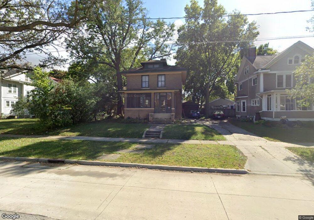
213 10th St NW Mason City, IA 50401
Estimated Value: $145,000 - $167,000
3
Beds
2
Baths
2,328
Sq Ft
$66/Sq Ft
Est. Value
About This Home
This home is located at 213 10th St NW, Mason City, IA 50401 and is currently estimated at $154,766, approximately $66 per square foot. 213 10th St NW is a home located in Cerro Gordo County with nearby schools including Mason City High School, Mason City Seventh Day Adventi, and North Iowa Christian School.
Ownership History
Date
Name
Owned For
Owner Type
Purchase Details
Closed on
Apr 12, 2023
Sold by
First Citizens Bank
Bought by
M & K Properties Mc Llc
Current Estimated Value
Home Financials for this Owner
Home Financials are based on the most recent Mortgage that was taken out on this home.
Original Mortgage
$80,000
Outstanding Balance
$44,632
Interest Rate
6.65%
Mortgage Type
Seller Take Back
Estimated Equity
$110,134
Purchase Details
Closed on
Feb 9, 2023
Sold by
Turvold Jay Michael
Bought by
First Citizens National Bank
Create a Home Valuation Report for This Property
The Home Valuation Report is an in-depth analysis detailing your home's value as well as a comparison with similar homes in the area
Home Values in the Area
Average Home Value in this Area
Purchase History
| Date | Buyer | Sale Price | Title Company |
|---|---|---|---|
| M & K Properties Mc Llc | $49,000 | None Listed On Document | |
| First Citizens National Bank | -- | None Listed On Document |
Source: Public Records
Mortgage History
| Date | Status | Borrower | Loan Amount |
|---|---|---|---|
| Open | M & K Properties Mc Llc | $80,000 |
Source: Public Records
Tax History Compared to Growth
Tax History
| Year | Tax Paid | Tax Assessment Tax Assessment Total Assessment is a certain percentage of the fair market value that is determined by local assessors to be the total taxable value of land and additions on the property. | Land | Improvement |
|---|---|---|---|---|
| 2024 | $2,036 | $127,140 | $16,670 | $110,470 |
| 2023 | $1,880 | $127,140 | $16,670 | $110,470 |
| 2022 | $1,924 | $103,840 | $12,830 | $91,010 |
| 2021 | $1,894 | $102,430 | $12,830 | $89,600 |
| 2020 | $2,080 | $95,960 | $12,830 | $83,130 |
| 2019 | $1,686 | $0 | $0 | $0 |
| 2018 | $1,458 | $0 | $0 | $0 |
| 2017 | $1,498 | $0 | $0 | $0 |
| 2016 | $1,456 | $0 | $0 | $0 |
| 2015 | $1,456 | $0 | $0 | $0 |
| 2014 | $1,924 | $0 | $0 | $0 |
| 2013 | $1,848 | $0 | $0 | $0 |
Source: Public Records
Map
Nearby Homes
- 217 10th St NW
- 222 9th St NW
- 128 10th St NW
- 221 9th St NW
- 721 N Jefferson Ave
- 1310 N Adams Ave
- 1022 N Monroe Ave
- 1306 N Jefferson Ave
- 221 14th St NW
- 32 6th St NW
- 323 6th St NW
- 522 N Madison Ave
- 711 N Van Buren Ave
- 1032 N Georgia Ave
- 311 10th St NE
- 813 N Tyler Ave
- 1021 N Polk Ave
- 415 N Massachusetts Ave
- 125 N Crescent Dr
- 210 1st St SW
- 932 N Adams Ave
- 203 10th St NW
- 926 N Adams Ave
- 221 10th St NW
- 223 10th St NW
- 920 N Adams Ave
- 229 10th St NW
- 925 N Jefferson Ave
- 917 N Jefferson Ave
- 931 N Jefferson Ave
- 214 10th St NW
- 208 10th St NW
- 218 10th St NW
- 914 N Adams Ave
- 233 10th St NW
- 224 10th St NW
- 202 10th St NW
- 131 10th St NW
- 929 N Adams Ave
- 911 N Jefferson Ave