213 Addison Way Titusville, FL 32780
Estimated Value: $590,000 - $732,000
2
Beds
2
Baths
2,205
Sq Ft
$297/Sq Ft
Est. Value
About This Home
This home is located at 213 Addison Way, Titusville, FL 32780 and is currently estimated at $654,967, approximately $297 per square foot. 213 Addison Way is a home located in Brevard County with nearby schools including Imperial Estates Elementary School, Titusville High School, and Andrew Jackson Middle School.
Ownership History
Date
Name
Owned For
Owner Type
Purchase Details
Closed on
Jan 28, 2015
Sold by
Stephens Terry R and Stephens Charlotte M
Bought by
Revocable Living Trust Of Terry R & Char
Current Estimated Value
Purchase Details
Closed on
Apr 7, 2014
Sold by
Taylor Charles C and Taylor Diane J
Bought by
Stephens Terry R and Stephens Charlotte M
Purchase Details
Closed on
Nov 11, 2003
Sold by
T G O Partners Llc
Bought by
Land Planners & Associates Inc
Purchase Details
Closed on
Jul 1, 2002
Sold by
T C Ent No 2 L L C
Bought by
Sharrow Sceva W and Sharrow Suzanne
Create a Home Valuation Report for This Property
The Home Valuation Report is an in-depth analysis detailing your home's value as well as a comparison with similar homes in the area
Home Values in the Area
Average Home Value in this Area
Purchase History
| Date | Buyer | Sale Price | Title Company |
|---|---|---|---|
| Revocable Living Trust Of Terry R & Char | -- | Attorney | |
| Stephens Terry R | $365,000 | The Title Station Inc | |
| Land Planners & Associates Inc | $55,400 | -- | |
| Sharrow Sceva W | $60,000 | -- |
Source: Public Records
Tax History Compared to Growth
Tax History
| Year | Tax Paid | Tax Assessment Tax Assessment Total Assessment is a certain percentage of the fair market value that is determined by local assessors to be the total taxable value of land and additions on the property. | Land | Improvement |
|---|---|---|---|---|
| 2025 | $4,839 | $373,600 | -- | -- |
| 2024 | $4,786 | $363,080 | -- | -- |
| 2023 | $4,786 | $352,510 | $0 | $0 |
| 2022 | $4,501 | $342,250 | $0 | $0 |
| 2021 | $4,705 | $332,290 | $0 | $0 |
| 2020 | $4,660 | $327,710 | $0 | $0 |
| 2019 | $4,639 | $320,350 | $0 | $0 |
| 2018 | $4,663 | $314,380 | $0 | $0 |
| 2017 | $4,728 | $307,920 | $0 | $0 |
| 2016 | $4,811 | $301,590 | $68,000 | $233,590 |
| 2015 | $4,931 | $299,500 | $50,000 | $249,500 |
| 2014 | $4,086 | $251,630 | $40,000 | $211,630 |
Source: Public Records
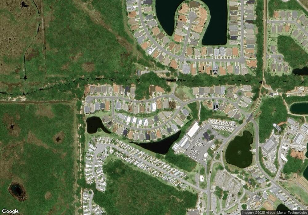
Map
Nearby Homes
- 217 Harmony Ln
- 13 Sunset Dr Unit 13
- 40 Sunset Dr Unit 40
- 22 Sunset Dr Unit 22
- 50 Sunset Dr Unit 50
- 6 Sunset Dr
- 115 Bowfin Ct
- 252 Harmony Ln Unit 252
- 65 Sunset Dr
- 270 Harmony Ln Unit 270
- 137 Harmony Ln
- 95 Sunset Dr
- 163 Greenwing Trail Unit 163
- 148 Greenwing Trail Unit 148
- 151 Plantation Dr
- 152 Plantation Dr
- 181 Greenwing Trail Unit 181
- 437 Harmony Ln Unit 437
- 840 Plantation Dr
- 177 Plantation Dr
- 217 Addison Way Unit 217
- 209 Addison Way
- 221 Addison Way Unit 221
- 205 Addison Way Unit 205
- 144 Dragonfly Dr
- 140 Dragonfly Dr Unit 140
- 150 Dragonfly Dr Unit 50
- 136 Dragonfly Dr Unit 136
- 154 Dragonfly Dr
- 214 Addison Way
- 225 Addison Way Unit 225
- 210 Addison Way
- 201 Addison Way Unit 201
- 160 Dragonfly Dr Unit 160
- 229 Addison Way Unit 229
- 166 Dragonfly Dr
- 224 Addison Way
- 143 Dragonfly Dr
- 147 Dragonfly Dr Unit 147
- 170 Dragonfly Dr Unit 170