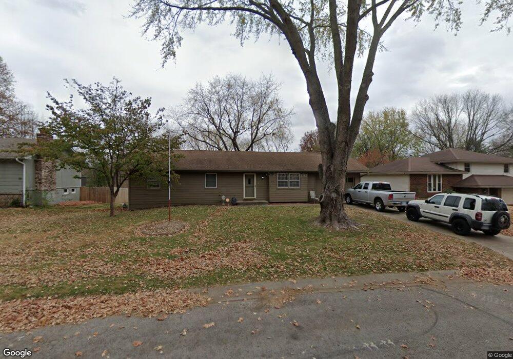
213 Bittersweet Ln Lansing, KS 66043
Estimated Value: $248,390 - $292,000
3
Beds
2
Baths
1,289
Sq Ft
$206/Sq Ft
Est. Value
About This Home
This home is located at 213 Bittersweet Ln, Lansing, KS 66043 and is currently estimated at $265,348, approximately $205 per square foot. 213 Bittersweet Ln is a home located in Leavenworth County with nearby schools including Lansing Elementary School, Lansing Middle 6-8, and Lansing High 9-12.
Ownership History
Date
Name
Owned For
Owner Type
Purchase Details
Closed on
Nov 1, 1999
Bought by
Chastain Ronald G and Chastain Christina J
Current Estimated Value
Home Financials for this Owner
Home Financials are based on the most recent Mortgage that was taken out on this home.
Original Mortgage
$107,357
Outstanding Balance
$33,301
Interest Rate
7.96%
Mortgage Type
New Conventional
Estimated Equity
$232,047
Create a Home Valuation Report for This Property
The Home Valuation Report is an in-depth analysis detailing your home's value as well as a comparison with similar homes in the area
Home Values in the Area
Average Home Value in this Area
Purchase History
| Date | Buyer | Sale Price | Title Company |
|---|---|---|---|
| Chastain Ronald G | $78,000 | -- |
Source: Public Records
Mortgage History
| Date | Status | Borrower | Loan Amount |
|---|---|---|---|
| Open | Chastain Ronald G | $107,357 | |
| Closed | Chastain Ronald G | $121,495 |
Source: Public Records
Tax History Compared to Growth
Tax History
| Year | Tax Paid | Tax Assessment Tax Assessment Total Assessment is a certain percentage of the fair market value that is determined by local assessors to be the total taxable value of land and additions on the property. | Land | Improvement |
|---|---|---|---|---|
| 2025 | $3,392 | $26,640 | $5,796 | $20,844 |
| 2024 | $3,168 | $25,616 | $4,589 | $21,027 |
| 2023 | $3,168 | $24,630 | $4,589 | $20,041 |
| 2022 | $3,047 | $22,390 | $3,506 | $18,884 |
| 2021 | $2,931 | $20,458 | $3,506 | $16,952 |
| 2020 | $2,825 | $19,413 | $3,506 | $15,907 |
| 2019 | $2,561 | $17,600 | $3,506 | $14,094 |
| 2018 | $2,380 | $16,388 | $2,898 | $13,490 |
| 2017 | $2,313 | $15,901 | $2,898 | $13,003 |
| 2016 | $2,291 | $15,744 | $2,898 | $12,846 |
| 2015 | $2,172 | $14,985 | $2,898 | $12,087 |
| 2014 | $2,064 | $14,548 | $2,898 | $11,650 |
Source: Public Records
Map
Nearby Homes
- 218 Oak Hill St
- 20958 Ida St
- 415 Fairlane St
- 129 Crestview Ct
- 129 Brookwood St
- 268 Holiday Dr
- 542 Creekside Ct
- 124 S Main St
- 202 S Main St
- 527 S Valley Dr
- 218 E Kay St
- 1102 N Main St
- 310 E Kansas Ave
- 104 Olive St
- 4 Eisenhower Rd
- 306 E Kay St
- 1100 N 4th St
- 1102 N 4th St
- 728 Eisenhower Rd
- 603 E Beth St
- 221 Bittersweet Ln
- 205 Bittersweet Ln
- 229 Bittersweet Ln
- 210 Oak Hill St
- 204 Oak Hill St
- 524 Oakbrook Dr
- 516 Oakbrook Dr
- 208 Bittersweet Ln
- 226 Oak Hill St
- 508 Oakbrook Dr
- 224 Bittersweet Ln
- 200 Bittersweet Ln
- 237 Bittersweet Ln
- 500 Oakbrook Dr
- 132 Bittersweet Ln
- 232 Bittersweet Ln
- 117 Brookridge St
- 115 Brookridge St
- 304 Bittersweet Ln
- 119 Brookridge St