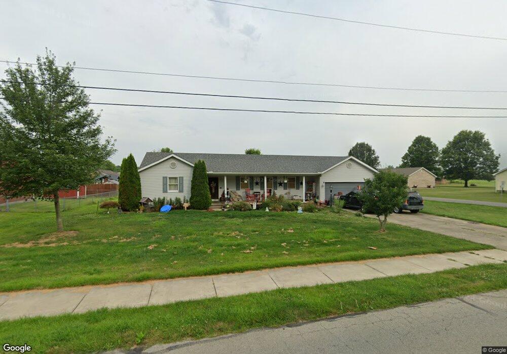
213 Boyd Rd Mount Orab, OH 45154
Estimated Value: $247,600 - $281,000
3
Beds
2
Baths
1,700
Sq Ft
$157/Sq Ft
Est. Value
About This Home
This home is located at 213 Boyd Rd, Mount Orab, OH 45154 and is currently estimated at $266,400, approximately $156 per square foot. 213 Boyd Rd is a home located in Brown County with nearby schools including Western Brown High School.
Ownership History
Date
Name
Owned For
Owner Type
Purchase Details
Closed on
Apr 2, 2012
Sold by
Estate Of Richard Amon Still
Bought by
Brown Tracey Lee
Current Estimated Value
Purchase Details
Closed on
Aug 2, 1999
Sold by
Clifton Marton R
Bought by
Still Richard A
Home Financials for this Owner
Home Financials are based on the most recent Mortgage that was taken out on this home.
Original Mortgage
$45,000
Interest Rate
7.69%
Mortgage Type
New Conventional
Create a Home Valuation Report for This Property
The Home Valuation Report is an in-depth analysis detailing your home's value as well as a comparison with similar homes in the area
Home Values in the Area
Average Home Value in this Area
Purchase History
| Date | Buyer | Sale Price | Title Company |
|---|---|---|---|
| Brown Tracey Lee | -- | None Available | |
| Still Richard A | $97,500 | -- |
Source: Public Records
Mortgage History
| Date | Status | Borrower | Loan Amount |
|---|---|---|---|
| Previous Owner | Still Richard A | $45,000 |
Source: Public Records
Tax History
| Year | Tax Paid | Tax Assessment Tax Assessment Total Assessment is a certain percentage of the fair market value that is determined by local assessors to be the total taxable value of land and additions on the property. | Land | Improvement |
|---|---|---|---|---|
| 2024 | $1,926 | $61,980 | $10,500 | $51,480 |
| 2023 | $1,925 | $50,060 | $9,240 | $40,820 |
| 2022 | $1,683 | $50,060 | $9,240 | $40,820 |
| 2021 | $1,616 | $50,060 | $9,240 | $40,820 |
| 2020 | $1,421 | $41,720 | $7,700 | $34,020 |
| 2019 | $1,515 | $41,720 | $7,700 | $34,020 |
| 2018 | $1,496 | $41,720 | $7,700 | $34,020 |
| 2017 | $1,352 | $36,730 | $6,930 | $29,800 |
| 2016 | $1,031 | $36,730 | $6,930 | $29,800 |
| 2015 | $987 | $36,730 | $6,930 | $29,800 |
| 2014 | $986 | $36,100 | $6,300 | $29,800 |
| 2013 | $984 | $36,100 | $6,300 | $29,800 |
Source: Public Records
Map
Nearby Homes
- 105 Maple Ridge Ave
- 106 Nathans Ln
- 110 Nathans Ln
- 3387 Trabecca Ln
- 106 Haylee Dr
- 13523 Lake Grant Rd
- 0 State Route 32 Unit 1795308
- 329 E Main St
- 402 E Main St
- 506 E Main St
- 317 Robin Ave
- 2437 Tri County Hwy
- 3738 Lake Grant Access Rd
- 422 Liming Farm Rd
- 0 Donley Rd Unit 1859270
- 214 Gregory St
- 15070 Bodman Rd
- 108 Lonny St
- 106 Lonny St
- 203 Bingaman Ln
- 103 Pine Ridge Ave
- 217 Boyd Rd
- 102 Maple Ridge Ave
- 14200 Boyd Rd
- 209 Boyd Rd
- 102 Pine Ridge Ave
- 105 Pine Ridge Ave
- 104 Maple Ridge Ave
- 102 Stone Trace Dr
- 103 Maple Ridge Ave
- 104 Pine Ridge Ave
- 221 Boyd Rd
- 101 Stone Trace Dr
- 105 Maple Ridge
- 106 Maple Ridge Ave
- 107 Pine Ridge Ave
- 106 Pine Ridge Ave
- 106 Stone Trace Dr
- 103 Stone Trace Dr
- 103 Ben Houser Ct
Your Personal Tour Guide
Ask me questions while you tour the home.