213 Brookman Dr East Otis, MA 01029
Estimated Value: $476,000 - $821,000
2
Beds
1
Bath
768
Sq Ft
$825/Sq Ft
Est. Value
About This Home
This home is located at 213 Brookman Dr, East Otis, MA 01029 and is currently estimated at $633,657, approximately $825 per square foot. 213 Brookman Dr is a home with nearby schools including Farmington River Elementary School.
Ownership History
Date
Name
Owned For
Owner Type
Purchase Details
Closed on
Aug 26, 2009
Sold by
Rita Rosch Card T and Rita Rosch Card Ret
Bought by
Ellis Daniel
Current Estimated Value
Purchase Details
Closed on
Jun 1, 2004
Sold by
Card Rita R and Card Rita Rosch
Bought by
Declr Rita Rossch Card and Card Rita Rosch
Purchase Details
Closed on
Nov 1, 1974
Bought by
Ellis Daniel
Create a Home Valuation Report for This Property
The Home Valuation Report is an in-depth analysis detailing your home's value as well as a comparison with similar homes in the area
Home Values in the Area
Average Home Value in this Area
Purchase History
| Date | Buyer | Sale Price | Title Company |
|---|---|---|---|
| Ellis Daniel | -- | -- | |
| Ellis Daniel | -- | -- | |
| Declr Rita Rossch Card | -- | -- | |
| Rita Rossch Card Declr | -- | -- | |
| Ellis Daniel | -- | -- |
Source: Public Records
Tax History Compared to Growth
Tax History
| Year | Tax Paid | Tax Assessment Tax Assessment Total Assessment is a certain percentage of the fair market value that is determined by local assessors to be the total taxable value of land and additions on the property. | Land | Improvement |
|---|---|---|---|---|
| 2025 | $4,031 | $624,000 | $548,700 | $75,300 |
| 2024 | $3,486 | $538,000 | $471,800 | $66,200 |
| 2023 | $3,249 | $490,800 | $424,600 | $66,200 |
| 2022 | $3,766 | $485,900 | $409,200 | $76,700 |
| 2021 | $4,233 | $499,800 | $437,100 | $62,700 |
| 2020 | $4,157 | $498,500 | $437,100 | $61,400 |
| 2019 | $4,128 | $498,500 | $437,100 | $61,400 |
| 2018 | $4,104 | $498,500 | $437,100 | $61,400 |
| 2017 | $4,028 | $498,500 | $437,100 | $61,400 |
| 2016 | $3,923 | $499,800 | $437,100 | $62,700 |
| 2015 | $3,356 | $445,700 | $382,800 | $62,900 |
Source: Public Records
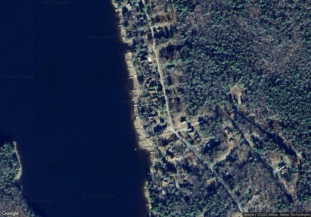
Map
Nearby Homes
- 30 Brookman Dr
- 236 Ridge Ave
- 191 Moreau Rd
- 0 Curtis Hall Rd Unit 73425043
- 0 Curtis Hall Rd Unit 73376838
- 23 S Pine St
- 56 Otis-Tolland Rd
- 14 N Ridge St
- 14 N Ridge St
- 854 Tolland Rd
- 454 Pine Rd
- 134 Kibbe Rd
- 369 Pine Rd
- 185 Pine Rd
- 91 Pike Rd
- 168 Tolland Rd
- 7 Reservoir Heights Rd
- 129 W Shore Rd
- 1259 E Otis Rd
- 38 Norton Road Extension
- 221 Brookman Dr
- 229 Brookman Dr
- 189 Brookman Dr
- 199 Brookman Dr
- 207 Brookman Dr
- 237 Brookman Dr
- Lot 45 Brookman Dr
- 243 & 246 Brookman Dr
- 243 Brookman Dr
- 36 Brookman Dr
- 251 Brookman Dr
- 34 Brookman Dr
- 21 Brookman Dr
- 246 Brookman Dr
- 257 Brookman Dr
- 265 Brookman Dr
- 0 Brookman Dr
- 265 Brookman Dr
- 32 Brookman Dr
- 6 Blandford Dr