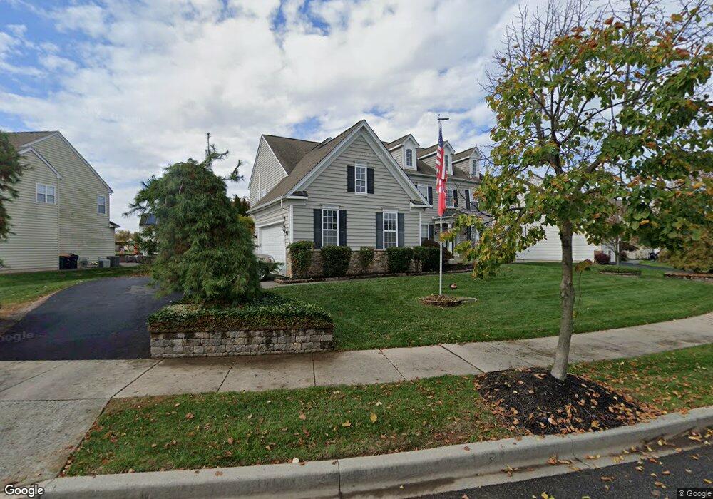
213 Bucktail Dr Middletown, DE 19709
Estimated Value: $669,000 - $776,000
4
Beds
4
Baths
4,222
Sq Ft
$170/Sq Ft
Est. Value
About This Home
This home is located at 213 Bucktail Dr, Middletown, DE 19709 and is currently estimated at $715,921, approximately $169 per square foot. 213 Bucktail Dr is a home located in New Castle County with nearby schools including Brick Mill Elementary School, Louis L. Redding Middle School, and Middletown High School.
Ownership History
Date
Name
Owned For
Owner Type
Purchase Details
Closed on
Jan 24, 2017
Sold by
Fletcher Edward Allen and Fletcher Edward A
Bought by
Fletcher Edward Allan and Fletcher Linda L
Current Estimated Value
Purchase Details
Closed on
May 25, 2005
Sold by
Anderson Homes Llc
Bought by
Fletcher Edward A and Fletcher Linda L
Home Financials for this Owner
Home Financials are based on the most recent Mortgage that was taken out on this home.
Original Mortgage
$171,000
Outstanding Balance
$87,021
Interest Rate
5.37%
Mortgage Type
Fannie Mae Freddie Mac
Estimated Equity
$628,900
Purchase Details
Closed on
Dec 10, 2004
Sold by
299 Associates Llc
Bought by
Anderson Homes Llc
Home Financials for this Owner
Home Financials are based on the most recent Mortgage that was taken out on this home.
Original Mortgage
$2,500,000
Interest Rate
5.63%
Mortgage Type
Construction
Create a Home Valuation Report for This Property
The Home Valuation Report is an in-depth analysis detailing your home's value as well as a comparison with similar homes in the area
Home Values in the Area
Average Home Value in this Area
Purchase History
| Date | Buyer | Sale Price | Title Company |
|---|---|---|---|
| Fletcher Edward Allan | -- | None Available | |
| Fletcher Edward A | $446,703 | -- | |
| Anderson Homes Llc | $1,037,500 | -- |
Source: Public Records
Mortgage History
| Date | Status | Borrower | Loan Amount |
|---|---|---|---|
| Open | Fletcher Edward A | $171,000 | |
| Previous Owner | Anderson Homes Llc | $2,500,000 |
Source: Public Records
Tax History Compared to Growth
Tax History
| Year | Tax Paid | Tax Assessment Tax Assessment Total Assessment is a certain percentage of the fair market value that is determined by local assessors to be the total taxable value of land and additions on the property. | Land | Improvement |
|---|---|---|---|---|
| 2024 | $5,261 | $156,400 | $16,700 | $139,700 |
| 2023 | $4,317 | $156,400 | $16,700 | $139,700 |
| 2022 | $4,309 | $156,400 | $16,700 | $139,700 |
| 2021 | $4,303 | $156,400 | $16,700 | $139,700 |
| 2020 | $0 | $156,400 | $16,700 | $139,700 |
| 2019 | $3,907 | $156,400 | $16,700 | $139,700 |
| 2018 | $3,722 | $156,400 | $16,700 | $139,700 |
| 2017 | $3,480 | $156,400 | $16,700 | $139,700 |
| 2016 | $2,978 | $156,400 | $16,700 | $139,700 |
| 2015 | $2,859 | $156,400 | $16,700 | $139,700 |
| 2014 | $2,849 | $156,400 | $16,700 | $139,700 |
Source: Public Records
Map
Nearby Homes
- 624 Nesting Ln
- 734 Wood Duck Ct
- 601 Village Dr
- 300 Hostetter Blvd
- 103 Bonnybrook Rd
- 12 Willow Grove Mill Dr
- 707 Cleaver Farm Rd
- 16 E Shakespeare Dr
- 507 Lilac Dr
- 795 Idlewyld Dr
- 40 S Cummings Dr
- 367 Wilmore Dr
- 13 Brady Cir
- 189 Gillespie Ave
- 40 Browning Cir
- 242 E Main St
- 919 Lansdowne Rd
- 236 E Main St
- 945 Lansdowne Rd
- 364 Norwalk Way
- 211 Bucktail Dr
- 219 Bucktail Dr
- 319 Autumn Ct
- 321 Autumn Ct
- 209 Bucktail Dr
- 214 Bucktail Dr
- 212 Bucktail Dr
- 216 Bucktail Dr
- 218 Bucktail Dr
- 210 Bucktail Dr
- 323 Autumn Ct
- 221 Bucktail Dr
- 207 Bucktail Dr
- 315 Autumn Ct
- 222 Bucktail Dr
- 208 Bucktail Dr
- 602 Nesting Ln
- 600 Nesting Ln
- 604 Nesting Ln
- 325 Autumn Ct