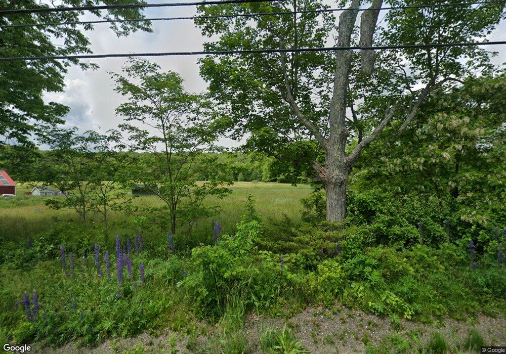
213 Bunker Hill Rd Jefferson, ME 04348
Estimated Value: $498,000 - $610,000
1
Bed
2
Baths
--
Sq Ft
1.3
Acres
About This Home
This home is located at 213 Bunker Hill Rd, Jefferson, ME 04348 and is currently estimated at $550,774. 213 Bunker Hill Rd is a home located in Lincoln County with nearby schools including Jefferson Village School.
Ownership History
Date
Name
Owned For
Owner Type
Purchase Details
Closed on
Jan 6, 2025
Sold by
Zimmerman Thorsten and Zimmerman Christina
Bought by
Driscoll Paula
Current Estimated Value
Purchase Details
Closed on
Nov 22, 2023
Sold by
Constanti Elizabeth and Mezoff Timothy
Bought by
Zimmerman Christina and Zimmerman Thorsten
Purchase Details
Closed on
Jul 10, 2019
Sold by
Dinsmore Frank A
Bought by
Mezoff Timothy and Constanti Elizabeth
Create a Home Valuation Report for This Property
The Home Valuation Report is an in-depth analysis detailing your home's value as well as a comparison with similar homes in the area
Home Values in the Area
Average Home Value in this Area
Purchase History
| Date | Buyer | Sale Price | Title Company |
|---|---|---|---|
| Driscoll Paula | $509,000 | None Available | |
| Driscoll Paula | $509,000 | None Available | |
| Zimmerman Christina | $403,688 | None Available | |
| Zimmerman Christina | $403,688 | None Available | |
| Zimmerman Christina | $403,688 | None Available | |
| Mezoff Timothy | -- | -- | |
| Mezoff Timothy | -- | -- | |
| Mezoff Timothy | -- | -- |
Source: Public Records
Tax History Compared to Growth
Tax History
| Year | Tax Paid | Tax Assessment Tax Assessment Total Assessment is a certain percentage of the fair market value that is determined by local assessors to be the total taxable value of land and additions on the property. | Land | Improvement |
|---|---|---|---|---|
| 2024 | $3,899 | $322,000 | $75,800 | $246,200 |
| 2023 | $3,642 | $222,100 | $52,200 | $169,900 |
| 2022 | $3,343 | $222,100 | $52,200 | $169,900 |
| 2021 | $3,198 | $222,100 | $52,200 | $169,900 |
| 2020 | $3,132 | $222,100 | $52,200 | $169,900 |
| 2019 | $2,932 | $222,100 | $52,200 | $169,900 |
| 2018 | $2,874 | $222,800 | $52,200 | $170,600 |
| 2017 | $2,831 | $222,000 | $52,200 | $169,800 |
| 2016 | $2,838 | $222,600 | $52,200 | $170,400 |
| 2015 | $2,783 | $222,600 | $52,200 | $170,400 |
| 2014 | $2,662 | $221,800 | $52,200 | $169,600 |
Source: Public Records
Map
Nearby Homes
- 0 Sky High Dr
- 85 Provost Rd
- Lot#009-02 Powderhorn Rd
- 20 Lake Farm Cir
- 71 Sunrise Park Rd
- 3 Tackle Trail
- 16 Shady Ln
- 330 E Pond Rd
- M19-L16-1 Augusta Rd
- 48 Augusta Rd
- 0 Wood Rd
- 53 Atkins Rd
- 80 Linscott Rd
- 73 Hodsdon Ln
- 286 Washington Rd
- 372 Washington Rd
- 304 Goose Hill Rd
- 784 E Pond Rd
- 481 Washington Rd
- 815 Augusta Rd
- 0 Bunker Hill Rd
- 00 Shipping Ln
- 26 Shipping Ln
- Lot 18-A Bunker Hill Rd
- 00 213 State Route
- 251 Bunker Hill Rd
- 40 Sky High Dr
- 192 Bunker Hill Rd
- 188 Bunker Hill Rd
- 00 Bunkerhill Rd
- 171 Bunker Hill Rd
- 252 Bunker Hill Rd
- 14 Mason Rd
- 10 Cleaves Rd
- 0 Gould Rd
- 261 Bunker Hill Rd
- 3 Gould Rd
- 170 Bunker Hill Rd
- 271 Bunker Hill Rd
- 19 Cleaves Rd
