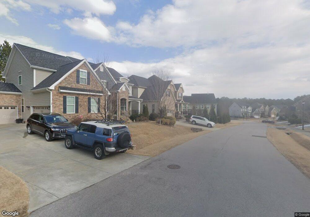
213 Carriage Grove Ln Cary, NC 27519
Green Level NeighborhoodEstimated Value: $1,005,000 - $1,147,000
5
Beds
6
Baths
4,173
Sq Ft
$256/Sq Ft
Est. Value
About This Home
This home is located at 213 Carriage Grove Ln, Cary, NC 27519 and is currently estimated at $1,068,866, approximately $256 per square foot. 213 Carriage Grove Ln is a home located in Wake County with nearby schools including White Oak Elementary School, Mills Park Middle School, and Green Level High School.
Ownership History
Date
Name
Owned For
Owner Type
Purchase Details
Closed on
Nov 23, 2016
Sold by
D R Horton Inc
Bought by
Zeb Mohammad and Zeb Nazish
Current Estimated Value
Home Financials for this Owner
Home Financials are based on the most recent Mortgage that was taken out on this home.
Original Mortgage
$127,000
Outstanding Balance
$102,119
Interest Rate
3.47%
Mortgage Type
Commercial
Estimated Equity
$966,747
Create a Home Valuation Report for This Property
The Home Valuation Report is an in-depth analysis detailing your home's value as well as a comparison with similar homes in the area
Home Values in the Area
Average Home Value in this Area
Purchase History
| Date | Buyer | Sale Price | Title Company |
|---|---|---|---|
| Zeb Mohammad | $605,500 | None Available |
Source: Public Records
Mortgage History
| Date | Status | Borrower | Loan Amount |
|---|---|---|---|
| Open | Zeb Mohammad | $127,000 | |
| Open | Zeb Mohammad | $417,000 |
Source: Public Records
Tax History
| Year | Tax Paid | Tax Assessment Tax Assessment Total Assessment is a certain percentage of the fair market value that is determined by local assessors to be the total taxable value of land and additions on the property. | Land | Improvement |
|---|---|---|---|---|
| 2025 | $8,357 | $972,676 | $200,000 | $772,676 |
| 2024 | $8,176 | $972,676 | $200,000 | $772,676 |
Source: Public Records
Map
Nearby Homes
- 4021 Piney Gap Dr
- 1006 Overdrift Ln
- 816 Timber Mist Ct
- 312 Karpen Ln
- 716 Bed Mill Ct
- 533 Windboard St
- 525 Windboard St
- 536 Windboard St
- 532 Windboard St
- 1001 Overdrift Ln
- 2125 Princeville Dr
- 1012 Holland Bend Dr
- 100 Ludbrook Ct
- 2590 Silas Peak Ln
- 8220 Green Hope School Rd
- 2583 Silas Peak Ln
- 7723 Roberts Rd
- 105 Jessfield Place
- 6017 Mentmore Place
- 837 Katahdin Way
- 209 Carriage Grove Ln
- 1360 Magnolia Bend Loop
- 1364 Magnolia Bend Loop
- 1356 Magnolia Bend Loop
- 216 Carriage Grove Ln
- 1352 Magnolia Bend Loop
- 1300 Magnolia Bend Loop
- 220 Carriage Grove Ln
- 1224 Magnolia Bend Loop
- 1304 Magnolia Bend Loop
- 1348 Magnolia Bend Loop
- 1404 Magnolia Bend Loop
- 1220 Magnolia Bend Loop
- 1308 Magnolia Bend Loop
- 1357 Magnolia Bend Loop
- 1344 Magnolia Bend Loop
- 1312 Magnolia Bend Loop
- 1216 Magnolia Bend Loop
- 1353 Magnolia Bend Loop
- 1405 Magnolia Bend Loop
Your Personal Tour Guide
Ask me questions while you tour the home.