213 Currahee Ridge Rd Toccoa, GA 30577
Estimated Value: $1,523,880 - $1,641,000
5
Beds
7
Baths
6,252
Sq Ft
$253/Sq Ft
Est. Value
About This Home
This home is located at 213 Currahee Ridge Rd, Toccoa, GA 30577 and is currently estimated at $1,582,440, approximately $253 per square foot. 213 Currahee Ridge Rd is a home with nearby schools including Stephens County High School.
Ownership History
Date
Name
Owned For
Owner Type
Purchase Details
Closed on
Jan 10, 2012
Bought by
Wasileski Darin
Current Estimated Value
Purchase Details
Closed on
Jul 11, 2006
Sold by
File Edward D
Bought by
Wasileski Darin
Home Financials for this Owner
Home Financials are based on the most recent Mortgage that was taken out on this home.
Original Mortgage
$310,572
Interest Rate
6.6%
Mortgage Type
New Conventional
Purchase Details
Closed on
Jun 9, 2006
Sold by
File Lorraine L
Bought by
File Edward D and File Sandra N
Home Financials for this Owner
Home Financials are based on the most recent Mortgage that was taken out on this home.
Original Mortgage
$310,572
Interest Rate
6.6%
Mortgage Type
New Conventional
Purchase Details
Closed on
Apr 1, 1996
Bought by
<Buyer Info Not Present>
Create a Home Valuation Report for This Property
The Home Valuation Report is an in-depth analysis detailing your home's value as well as a comparison with similar homes in the area
Home Values in the Area
Average Home Value in this Area
Purchase History
| Date | Buyer | Sale Price | Title Company |
|---|---|---|---|
| Wasileski Darin | -- | -- | |
| Wasileski Darin | $307,500 | -- | |
| File Edward D | $25,000 | -- | |
| <Buyer Info Not Present> | $4,000 | -- |
Source: Public Records
Mortgage History
| Date | Status | Borrower | Loan Amount |
|---|---|---|---|
| Previous Owner | Wasileski Darin | $310,572 |
Source: Public Records
Tax History Compared to Growth
Tax History
| Year | Tax Paid | Tax Assessment Tax Assessment Total Assessment is a certain percentage of the fair market value that is determined by local assessors to be the total taxable value of land and additions on the property. | Land | Improvement |
|---|---|---|---|---|
| 2025 | $15,445 | $562,649 | $80,372 | $482,277 |
| 2024 | $11,821 | $388,204 | $80,372 | $307,832 |
| 2023 | $10,887 | $365,697 | $80,372 | $285,325 |
| 2022 | $10,365 | $348,184 | $80,372 | $267,812 |
| 2021 | $10,782 | $344,807 | $83,402 | $261,405 |
| 2020 | $10,913 | $345,562 | $83,342 | $262,220 |
| 2019 | $11,009 | $347,164 | $83,342 | $263,822 |
| 2018 | $11,009 | $347,164 | $83,342 | $263,822 |
| 2017 | $11,182 | $347,164 | $83,342 | $263,822 |
| 2016 | $11,009 | $347,164 | $83,342 | $263,822 |
| 2015 | $11,529 | $347,164 | $83,342 | $263,822 |
| 2014 | $11,753 | $348,142 | $83,342 | $264,800 |
| 2013 | -- | $348,142 | $83,342 | $264,800 |
Source: Public Records
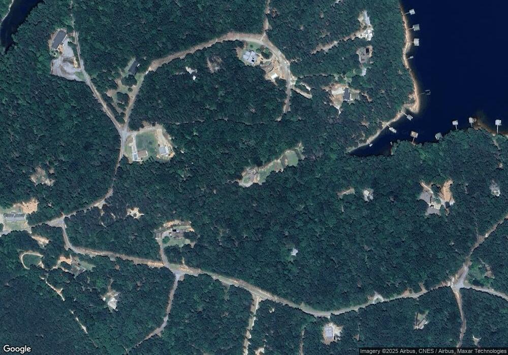
Map
Nearby Homes
- 287 Spring Branch Cir
- 49 Currahee Point
- 245 Currahee Place
- 88 Currahee Place
- 455 Chase Landing Rd
- 0 Cheyenne Trail Unit 10633853
- 347 River Trail
- 173 Laura Dr
- 679 Suttles Rd
- 604 Mckinney Way
- 120 Ridgemore Cir
- 53 Raven Ct
- 23 Wren Ct
- 3 Lost Forest Dr
- Lot 34 Stillwater Place
- Lot 6 Lost Forest Dr
- 9B Lost Forest Dr
- 0 Lost Forest Dr
- 02 Wood Valley Dr
- 350 Country Club Dr
- 269 Spring Branch Cir Unit 7D
- 325 Currahee Ridge Rd
- 315 Spring Branch Cir
- 454 Spring Branch Cir
- 149 Currahee Ridge Rd
- 2420 E Silver Shoals Rd
- 321 Spring Branch Cir
- 321 Spring Branch Cir Unit Deep Water
- 485 Spring Branch Cir
- 2756 E Silver Shoals Rd
- 164 Spring Branch Cir
- 136 Spring Branch Cir
- 224 Spring Branch Cir
- 130 Slice of Heaven Dr
- 56 Spring Branch Cir Unit 56/57
- 56 Spring Branch Cir
- 0 Currahee Ridge Unit 2616925
- 0 Currahee Ridge Unit LOT 26 3089802
- 0 Currahee Ridge Unit 28C,28D,29 7075978
- 0 Currahee Ridge Unit LOT 26 7186725