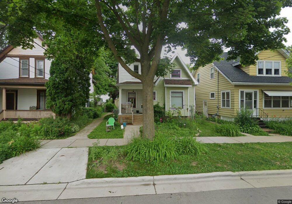
213 Dunning St Unit 1 Madison, WI 53704
Atwood NeighborhoodEstimated Value: $492,000 - $541,000
4
Beds
2
Baths
1,302
Sq Ft
$403/Sq Ft
Est. Value
About This Home
This home is located at 213 Dunning St Unit 1, Madison, WI 53704 and is currently estimated at $525,201, approximately $403 per square foot. 213 Dunning St Unit 1 is a home located in Dane County with nearby schools including Lowell Elementary School, O'Keeffe Middle, and East High School.
Ownership History
Date
Name
Owned For
Owner Type
Purchase Details
Closed on
Jun 24, 2010
Sold by
Heck Gabriel N and Carter Cathy Jo R
Bought by
Perry Carole Elizabeth and Reese Rita Mae
Current Estimated Value
Home Financials for this Owner
Home Financials are based on the most recent Mortgage that was taken out on this home.
Original Mortgage
$209,700
Outstanding Balance
$69,493
Interest Rate
4.86%
Mortgage Type
New Conventional
Estimated Equity
$455,708
Purchase Details
Closed on
Sep 30, 2005
Sold by
Overy Patricia K
Bought by
Carter Cathy Jo R and Heck Gabriel N
Home Financials for this Owner
Home Financials are based on the most recent Mortgage that was taken out on this home.
Original Mortgage
$187,520
Interest Rate
5.83%
Mortgage Type
Future Advance Clause Open End Mortgage
Create a Home Valuation Report for This Property
The Home Valuation Report is an in-depth analysis detailing your home's value as well as a comparison with similar homes in the area
Home Values in the Area
Average Home Value in this Area
Purchase History
| Date | Buyer | Sale Price | Title Company |
|---|---|---|---|
| Perry Carole Elizabeth | $233,000 | None Available | |
| Carter Cathy Jo R | $234,400 | None Available |
Source: Public Records
Mortgage History
| Date | Status | Borrower | Loan Amount |
|---|---|---|---|
| Open | Perry Carole Elizabeth | $209,700 | |
| Previous Owner | Carter Cathy Jo R | $187,520 |
Source: Public Records
Tax History
| Year | Tax Paid | Tax Assessment Tax Assessment Total Assessment is a certain percentage of the fair market value that is determined by local assessors to be the total taxable value of land and additions on the property. | Land | Improvement |
|---|---|---|---|---|
| 2024 | $16,513 | $486,300 | $95,300 | $391,000 |
| 2023 | $7,815 | $450,300 | $95,300 | $355,000 |
| 2022 | $15,796 | $416,900 | $95,300 | $321,600 |
| 2021 | $7,759 | $379,000 | $82,900 | $296,100 |
| 2020 | $7,759 | $357,500 | $76,800 | $280,700 |
| 2019 | $7,239 | $334,100 | $68,000 | $266,100 |
| 2018 | $6,574 | $303,700 | $60,700 | $243,000 |
| 2017 | $6,404 | $283,800 | $50,600 | $233,200 |
| 2016 | $6,187 | $267,700 | $46,000 | $221,700 |
| 2015 | $5,831 | $244,400 | $45,100 | $199,300 |
| 2014 | $5,712 | $244,400 | $45,100 | $199,300 |
| 2013 | $5,191 | $235,000 | $43,400 | $191,600 |
Source: Public Records
Map
Nearby Homes
- 2418 Bashford Ave
- 2205 Winnebago St
- 2146 Winnebago St
- 256 Waubesa St
- 2528 E Washington Ave
- 1835 Winnebago St Unit 207
- 2025 E Dayton St
- 206 Dixon St
- 2122 E Johnson St
- 2330 Upham St
- 2617 Hoard St
- 3014 Union St
- 2670 Hoard St Unit 1
- 3401 Dawes St Unit 1
- 2852 Commercial Ave
- 33 Sherman Terrace Unit 3
- 28 Sherman Terrace Unit 4
- 13 Sherman Terrace Unit 4
- 3606 Atwood Ave
- 1332 E Dayton St
- 209 Dunning St
- 217 Dunning St
- 221 Dunning St
- 205 Dunning St
- 214 Jackson St Unit 1
- 201 Dunning St Unit 2
- 218 Jackson St Unit 1
- 225 Dunning St
- 206 Jackson St
- 222 Jackson St
- 208 Jackson St
- 212 Jackson St
- 229 Dunning St Unit 2
- 202 Jackson St
- 226 Jackson St
- 206 Dunning St
- 214 Dunning St
- 210 Dunning St
- 220 Dunning St
- 222 Dunning St
Your Personal Tour Guide
Ask me questions while you tour the home.