Estimated Value: $212,000 - $239,000
3
Beds
2
Baths
742
Sq Ft
$305/Sq Ft
Est. Value
About This Home
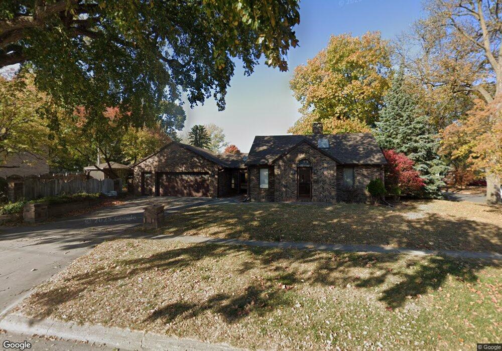
This home is located at 213 E 11th St, Ames, IA 50010 and is currently estimated at $226,643, approximately $305 per square foot. 213 E 11th St is a home with nearby schools including Meeker Elementary School, Ames Middle School, and Ames High School.
Ownership History
Date
Name
Owned For
Owner Type
Purchase Details
Closed on
Apr 19, 2022
Sold by
Larrance Lora L and Larrance Robert W
Bought by
Sabino Sean Michael
Current Estimated Value
Home Financials for this Owner
Home Financials are based on the most recent Mortgage that was taken out on this home.
Original Mortgage
$138,000
Outstanding Balance
$109,915
Interest Rate
3.09%
Mortgage Type
New Conventional
Estimated Equity
$116,728
Purchase Details
Closed on
Jun 21, 2016
Sold by
Larrance Lora L
Bought by
Larrance Lora L
Create a Home Valuation Report for This Property
The Home Valuation Report is an in-depth analysis detailing your home's value as well as a comparison with similar homes in the area
Purchase History
| Date | Buyer | Sale Price | Title Company |
|---|---|---|---|
| Sabino Sean Michael | $172,500 | None Listed On Document | |
| Larrance Lora L | -- | None Available |
Source: Public Records
Mortgage History
| Date | Status | Borrower | Loan Amount |
|---|---|---|---|
| Open | Sabino Sean Michael | $138,000 |
Source: Public Records
Tax History
| Year | Tax Paid | Tax Assessment Tax Assessment Total Assessment is a certain percentage of the fair market value that is determined by local assessors to be the total taxable value of land and additions on the property. | Land | Improvement |
|---|---|---|---|---|
| 2025 | $3,648 | $236,900 | $37,000 | $199,900 |
| 2024 | $3,572 | $251,500 | $42,500 | $209,000 |
| 2023 | $2,858 | $251,500 | $42,500 | $209,000 |
| 2022 | $2,824 | $169,900 | $42,500 | $127,400 |
| 2021 | $2,824 | $169,900 | $42,500 | $127,400 |
| 2020 | $2,902 | $167,400 | $41,900 | $125,500 |
| 2019 | $2,902 | $167,400 | $41,900 | $125,500 |
| 2018 | $2,924 | $167,400 | $41,900 | $125,500 |
| 2017 | $2,924 | $167,400 | $41,900 | $125,500 |
| 2016 | $2,728 | $163,600 | $32,600 | $131,000 |
| 2015 | $2,728 | $163,600 | $32,600 | $131,000 |
| 2014 | $2,782 | $163,600 | $32,600 | $131,000 |
Source: Public Records
Map
Nearby Homes
- 515 E 13th St
- 713 Crawford Ave
- 1110 Clark Ave
- 611 Kellogg Ave
- 1003 Clark Ave
- 1504 Burnett Ave
- 505 8th St
- 1312 Wilson Ave
- 809 Wilson Ave
- 605 8th St Unit 607
- 803 Grand Ave
- 715 Grand Ave
- 1406 Harding Ave
- 209 S Kellogg Ave
- 822 7th St
- 126 Broadmoor Cir
- 1020 10th St
- 1221 Curtiss Ave
- 1214 Northwestern Ave
- 1101 N 3rd St
- 1105 Stafford Ave
- 1102 Carroll Ave
- 1013 Stafford Ave
- 1115 Stafford Ave
- 307 E 11th St
- 1104 Carroll Ave
- 1106 Stafford Ave
- 1110 Carroll Ave
- 210 E 11th St
- 1110 Stafford Ave
- 1016 Carroll Ave
- 1009 Stafford Ave
- 1117 Stafford Ave
- 1114 Carroll Ave
- 1114 Stafford Ave
- 1014 Stafford Ave
- 1012 Carroll Ave
- 1120 Carroll Ave
- 1005 Stafford Ave
Your Personal Tour Guide
Ask me questions while you tour the home.