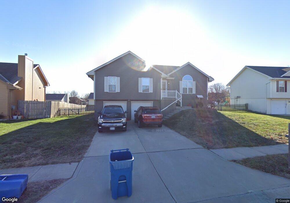
213 E 21st Terrace Kearney, MO 64060
Estimated Value: $282,000 - $300,000
3
Beds
2
Baths
1,200
Sq Ft
$245/Sq Ft
Est. Value
About This Home
This home is located at 213 E 21st Terrace, Kearney, MO 64060 and is currently estimated at $293,583, approximately $244 per square foot. 213 E 21st Terrace is a home located in Clay County with nearby schools including Kearney Junior High School and Kearney High School.
Ownership History
Date
Name
Owned For
Owner Type
Purchase Details
Closed on
Aug 17, 2005
Sold by
Va
Bought by
Ealey Daniel and Ealey Lynnette
Current Estimated Value
Home Financials for this Owner
Home Financials are based on the most recent Mortgage that was taken out on this home.
Original Mortgage
$108,000
Outstanding Balance
$63,773
Interest Rate
7.65%
Mortgage Type
Fannie Mae Freddie Mac
Estimated Equity
$229,810
Purchase Details
Closed on
Feb 1, 2005
Sold by
Steward Loren A and Steward Rena J
Bought by
Va
Purchase Details
Closed on
Apr 30, 2001
Sold by
Aartech Investments Inc
Bought by
Steward Loren A and Steward Rena J
Home Financials for this Owner
Home Financials are based on the most recent Mortgage that was taken out on this home.
Original Mortgage
$114,903
Interest Rate
6.89%
Mortgage Type
VA
Create a Home Valuation Report for This Property
The Home Valuation Report is an in-depth analysis detailing your home's value as well as a comparison with similar homes in the area
Home Values in the Area
Average Home Value in this Area
Purchase History
| Date | Buyer | Sale Price | Title Company |
|---|---|---|---|
| Ealey Daniel | -- | First American Title Ins Co | |
| Va | $110,163 | -- | |
| Steward Loren A | -- | First American Title Ins Co |
Source: Public Records
Mortgage History
| Date | Status | Borrower | Loan Amount |
|---|---|---|---|
| Open | Ealey Daniel | $108,000 | |
| Previous Owner | Steward Loren A | $114,903 |
Source: Public Records
Tax History
| Year | Tax Paid | Tax Assessment Tax Assessment Total Assessment is a certain percentage of the fair market value that is determined by local assessors to be the total taxable value of land and additions on the property. | Land | Improvement |
|---|---|---|---|---|
| 2025 | $2,360 | $39,560 | -- | -- |
| 2024 | $2,360 | $34,430 | -- | -- |
| 2023 | $2,351 | $34,430 | $0 | $0 |
| 2022 | $2,123 | $30,060 | $0 | $0 |
| 2021 | $2,081 | $30,058 | $5,130 | $24,928 |
| 2020 | $2,134 | $28,030 | $0 | $0 |
| 2019 | $2,122 | $28,030 | $0 | $0 |
Source: Public Records
Map
Nearby Homes
- 307 E 22nd Terrace
- 2371 Prairie Creek Dr
- 2367 Prairie Creek Dr
- 1933 Meadowlane
- 2211 Prairie Creek Dr
- 2119 Greenfield Point
- 2123 Greenfield Point
- 2121 Greenfield Point
- 111 Dogwood Ln
- 107 Dogwood Ln
- 217 Old Trail Run
- 2001 Foxtail Point
- 318 Old Trail Run N A
- 103 Dogwood Ln
- 2341 Fishing Ln
- 2333 Fishing Ln
- 2327 Fishing Ln
- 2318 Foxtail Dr
- 2314 Foxtail Dr
- 2317 Foxtail Dr
- 211 E 21st Terrace
- 215 E 21st Terrace
- 212 E 22nd St
- 214 E 22nd St
- 216 E 22nd St
- 2117 Sparrow Cir
- 2118 Mission Dr
- 208 E 22nd St
- 207 E 21st Terrace
- 2119 Mission Dr
- 2121 Mission Dr
- 2115 Sparrow Cir
- 2117 Mission Dr
- 2116 Mission Dr
- 206 E 22nd St
- 211 E 22nd St
- 2123 Mission Dr
- 213 E 22nd St
- 209 E 22nd St
- 205 E 21st Terrace
Your Personal Tour Guide
Ask me questions while you tour the home.