213 E Donham St West Union, IL 62477
Estimated Value: $48,417 - $89,000
Studio
--
Bath
910
Sq Ft
$73/Sq Ft
Est. Value
About This Home
This home is located at 213 E Donham St, West Union, IL 62477 and is currently estimated at $66,604, approximately $73 per square foot. 213 E Donham St is a home located in Clark County with nearby schools including Hutsonville Elementary/Junior High School and Hutsonville High School.
Ownership History
Date
Name
Owned For
Owner Type
Purchase Details
Closed on
Jul 24, 2013
Sold by
Wettering Debra Vande
Bought by
Mcaleer Danielle Elise and Wettering Debra Vande
Current Estimated Value
Home Financials for this Owner
Home Financials are based on the most recent Mortgage that was taken out on this home.
Original Mortgage
$34,400
Outstanding Balance
$27,508
Interest Rate
6.5%
Mortgage Type
Adjustable Rate Mortgage/ARM
Estimated Equity
$39,096
Purchase Details
Closed on
Sep 13, 2005
Sold by
Kilmer Dana L
Bought by
Wettering Debra Vande
Home Financials for this Owner
Home Financials are based on the most recent Mortgage that was taken out on this home.
Original Mortgage
$27,500
Interest Rate
7.62%
Mortgage Type
Adjustable Rate Mortgage/ARM
Create a Home Valuation Report for This Property
The Home Valuation Report is an in-depth analysis detailing your home's value as well as a comparison with similar homes in the area
Purchase History
| Date | Buyer | Sale Price | Title Company |
|---|---|---|---|
| Mcaleer Danielle Elise | -- | None Available | |
| Wettering Debra Vande | $25,000 | None Available |
Source: Public Records
Mortgage History
| Date | Status | Borrower | Loan Amount |
|---|---|---|---|
| Open | Mcaleer Danielle Elise | $34,400 | |
| Previous Owner | Wettering Debra Vande | $27,500 |
Source: Public Records
Tax History
| Year | Tax Paid | Tax Assessment Tax Assessment Total Assessment is a certain percentage of the fair market value that is determined by local assessors to be the total taxable value of land and additions on the property. | Land | Improvement |
|---|---|---|---|---|
| 2024 | $285 | $9,575 | $558 | $9,017 |
| 2023 | $263 | $9,575 | $558 | $9,017 |
| 2022 | $208 | $8,549 | $498 | $8,051 |
| 2021 | $308 | $9,633 | $996 | $8,637 |
| 2019 | $128 | $7,415 | $2,070 | $5,345 |
| 2018 | $132 | $7,415 | $2,070 | $5,345 |
| 2017 | $134 | $7,583 | $2,117 | $5,466 |
| 2016 | $144 | $7,415 | $2,070 | $5,345 |
| 2015 | $143 | $7,362 | $2,055 | $5,307 |
| 2014 | $150 | $7,165 | $2,000 | $5,165 |
| 2013 | $150 | $7,165 | $2,000 | $5,165 |
Source: Public Records
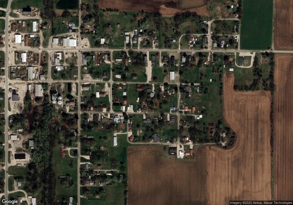
Map
Nearby Homes
- 106 E Union St
- 0 N River Rd
- 5178 N County Road 900 W
- 109 North St
- 0 S Clark Prevo Place
- 407 N Main St
- 0 N County Road 875 W
- South 500th Grand Turn Rd
- 100 N 2nd St
- 208 Wood Ln
- 8922 E 2000th Ave
- 6823 W Gobin Dr
- Ave
- 0 E 1650th Ave
- 12040 N Fox Rd
- 16657 E 1600th Ave
- 17000 S State Road 63
- 0 N 900th St
- 0000 W Yeager Dr
- 0000 County Road 1200 N
- 209 E Donham St
- 214 E Washington St
- 214 E Washington St
- 214 E Donham St
- 210 E Washington St
- 208 Harrison St
- 220 E Donham St
- 200 E Washington St
- 201 Murphy St
- 215 Murphy St
- 96 Po Box
- 96 Po Box
- 228 E Donham St
- 120 E Donham St
- 120 E Donham St
- 81 Po Box
- 215 Weir St
- 201 Weir St
- 201 Weir St
- 110 Harrison St
Your Personal Tour Guide
Ask me questions while you tour the home.