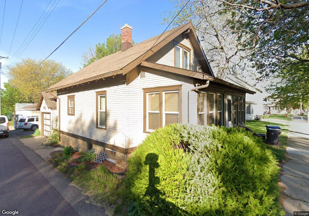
213 E Elm St Mankato, MN 56001
Riverfront Park NeighborhoodEstimated Value: $149,000 - $199,000
2
Beds
2
Baths
980
Sq Ft
$170/Sq Ft
Est. Value
About This Home
This home is located at 213 E Elm St, Mankato, MN 56001 and is currently estimated at $166,774, approximately $170 per square foot. 213 E Elm St is a home located in Blue Earth County with nearby schools including Franklin Elementary School, Prairie Winds Middle School, and Mankato East Senior High School.
Ownership History
Date
Name
Owned For
Owner Type
Purchase Details
Closed on
Aug 31, 2009
Sold by
Bernardy Gwen A Metro
Bought by
Cuellar Miriam and Ruelas Agustin
Current Estimated Value
Home Financials for this Owner
Home Financials are based on the most recent Mortgage that was taken out on this home.
Original Mortgage
$105,061
Outstanding Balance
$68,430
Interest Rate
5.27%
Mortgage Type
FHA
Estimated Equity
$98,344
Purchase Details
Closed on
Jun 28, 2007
Sold by
Metro Joseph P and Metro Audrey F
Bought by
Metro Gwen A
Create a Home Valuation Report for This Property
The Home Valuation Report is an in-depth analysis detailing your home's value as well as a comparison with similar homes in the area
Home Values in the Area
Average Home Value in this Area
Purchase History
| Date | Buyer | Sale Price | Title Company |
|---|---|---|---|
| Cuellar Miriam | $107,000 | -- | |
| Metro Gwen A | $88,000 | -- |
Source: Public Records
Mortgage History
| Date | Status | Borrower | Loan Amount |
|---|---|---|---|
| Open | Cuellar Miriam | $105,061 |
Source: Public Records
Tax History
| Year | Tax Paid | Tax Assessment Tax Assessment Total Assessment is a certain percentage of the fair market value that is determined by local assessors to be the total taxable value of land and additions on the property. | Land | Improvement |
|---|---|---|---|---|
| 2025 | $1,120 | $128,400 | $15,400 | $113,000 |
| 2024 | $1,120 | $127,800 | $15,400 | $112,400 |
| 2023 | $1,160 | $129,400 | $15,400 | $114,000 |
| 2022 | $990 | $120,300 | $15,400 | $104,900 |
| 2021 | $964 | $101,000 | $15,400 | $85,600 |
| 2020 | $902 | $93,800 | $15,400 | $78,400 |
| 2019 | $950 | $93,800 | $15,400 | $78,400 |
| 2018 | $916 | $97,100 | $15,400 | $81,700 |
| 2017 | $794 | $94,700 | $15,400 | $79,300 |
| 2016 | $930 | $89,300 | $15,400 | $73,900 |
| 2015 | $13 | $83,800 | $15,400 | $68,400 |
| 2014 | $1,542 | $80,700 | $15,400 | $65,300 |
Source: Public Records
Map
Nearby Homes
- E E Spring St
- 407 N Broad St
- 309 N Broad St
- 622 N 5th St
- 511 E Washington St
- 702 N 6th St
- 303 E Lafayette St
- 109 S 4th St
- 532 Range St
- 0 Range St Unit 532 1/2
- 950 E Main St
- 349 Tyler Ave
- 1519 N 4th St
- 441 South Ave
- 1112 Marsh St
- 221 Woodhill Ct
- 446 Tyler Ave
- 415 Mckinley Ave
- 511 Harrison Ave
- 541 Nicollet Ave
- 219 E Elm St
- 517 N 2nd St
- 529 N 2nd St
- 519 N 2nd St
- 519 519 N 2nd St
- 221 E Elm St
- 515 N 2nd St
- 210 E Elm St
- 206 206 E Elm St
- 206 E Elm St
- 513 N 2nd St
- 513 N 2nd St Unit 513 N. Second St.
- 200 E Elm St Unit 4
- 200 E Elm St Unit 3
- 200 E Elm St
- 524 N Broad St
- 528 N Broad St
- 520 N Broad St
- 509 N 2nd St
- 518 N Broad St
Your Personal Tour Guide
Ask me questions while you tour the home.