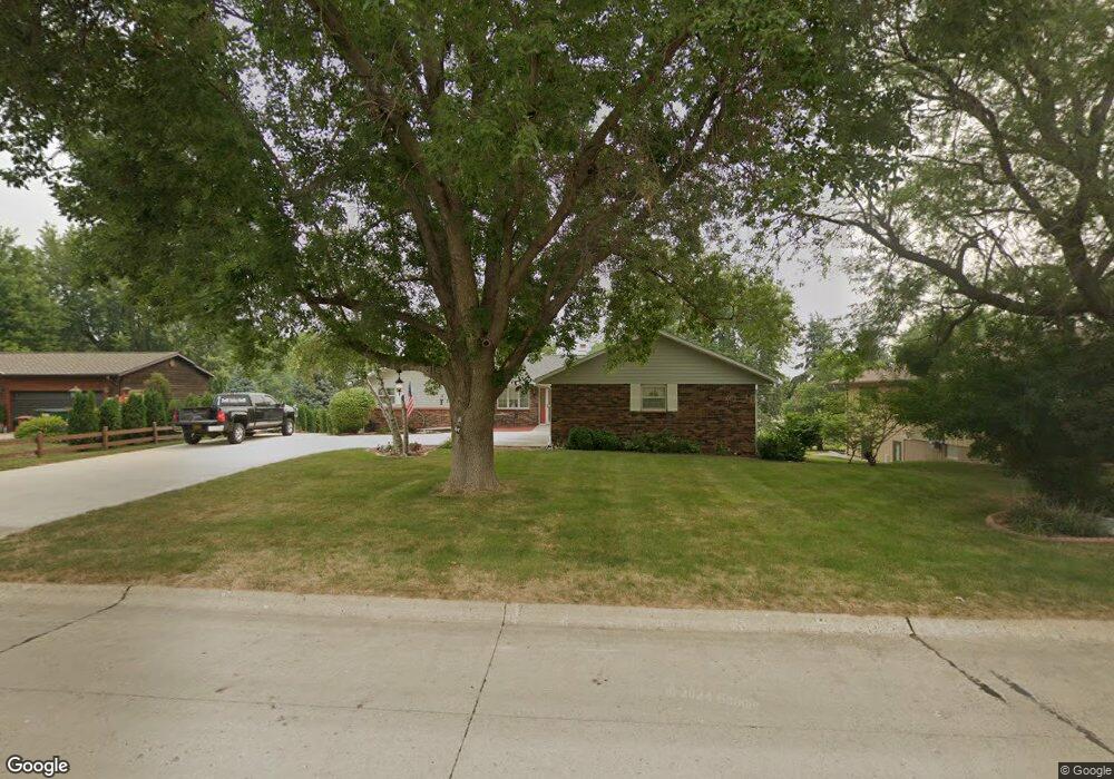
213 E Randall Rd Carroll, IA 51401
Estimated Value: $299,000 - $353,594
2
Beds
2
Baths
1,664
Sq Ft
$195/Sq Ft
Est. Value
About This Home
This home is located at 213 E Randall Rd, Carroll, IA 51401 and is currently estimated at $324,399, approximately $194 per square foot. 213 E Randall Rd is a home with nearby schools including Fairview Elementary School, Adams Elementary School, and Carroll Middle School.
Ownership History
Date
Name
Owned For
Owner Type
Purchase Details
Closed on
Sep 9, 2020
Sold by
Tryon Jerry J
Bought by
Tryon Jerilyn A
Current Estimated Value
Purchase Details
Closed on
Oct 23, 2007
Sold by
Holstein Edward W
Bought by
Tryon Jerry J and Tryon Jerilyn A
Home Financials for this Owner
Home Financials are based on the most recent Mortgage that was taken out on this home.
Original Mortgage
$144,875
Outstanding Balance
$91,247
Interest Rate
6.38%
Mortgage Type
New Conventional
Estimated Equity
$233,152
Create a Home Valuation Report for This Property
The Home Valuation Report is an in-depth analysis detailing your home's value as well as a comparison with similar homes in the area
Home Values in the Area
Average Home Value in this Area
Purchase History
| Date | Buyer | Sale Price | Title Company |
|---|---|---|---|
| Tryon Jerilyn A | -- | None Available | |
| Tryon Jerry J | $152,500 | Security Title & Investment |
Source: Public Records
Mortgage History
| Date | Status | Borrower | Loan Amount |
|---|---|---|---|
| Open | Tryon Jerry J | $144,875 |
Source: Public Records
Tax History Compared to Growth
Tax History
| Year | Tax Paid | Tax Assessment Tax Assessment Total Assessment is a certain percentage of the fair market value that is determined by local assessors to be the total taxable value of land and additions on the property. | Land | Improvement |
|---|---|---|---|---|
| 2025 | $4,092 | $366,280 | $45,940 | $320,340 |
| 2024 | $4,008 | $322,200 | $45,940 | $276,260 |
| 2023 | $3,463 | $322,200 | $45,940 | $276,260 |
| 2022 | $3,286 | $235,620 | $41,760 | $193,860 |
| 2021 | $3,286 | $235,620 | $41,760 | $193,860 |
| 2020 | $3,364 | $235,620 | $41,760 | $193,860 |
| 2019 | $3,476 | $235,620 | $41,760 | $193,860 |
| 2018 | $3,270 | $235,620 | $41,760 | $193,860 |
| 2017 | $3,264 | $237,037 | $44,683 | $192,354 |
| 2016 | $3,046 | $221,530 | $0 | $0 |
| 2015 | $3,046 | $204,150 | $0 | $0 |
| 2014 | $2,766 | $204,150 | $0 | $0 |
Source: Public Records
Map
Nearby Homes
- 219 Windwood Dr
- 265 Perch St
- 2340 Skyline Dr
- 746 Granada Rd
- 1546 Olive St
- 1601 N Main St
- 260 Bass St
- 1515 N Main St
- 1509 Birch St
- 611 W 21st St
- 638 Capistrano Ave
- 1320 N Adams St
- 1852 Quint Ave
- 1550 Edgewood Dr
- 711 W 21st St
- 621 Alta Vista Dr
- 641 Alta Vista Dr
- 718 Alta Vista Dr
- 631 W 17th St
- 1108 N Main St
- 205 E Randall Rd
- 127 E Randall Rd
- 227 E Randall Rd Unit 8
- 227 E Randall Rd Unit 5
- 132 E Randall Rd
- 222 E Randall Rd
- 2024 N Randall Rd Unit 1
- 2024 N Randall Rd Unit 4
- 2023 N Randall Rd
- 2033 N Grant Rd Unit 19
- 2033 N Grant Rd Unit 17
- 135 Lois Ave
- 113 E Randall Rd
- 2013 N Randall Rd
- 2016 N Randall Rd Unit 12
- 2016 N Randall Rd
- 2016 N Randall Rd Unit 9
- 2016 N Randall Rd Unit 3
- 121 Lois Ave
- 2014 Lois Ave