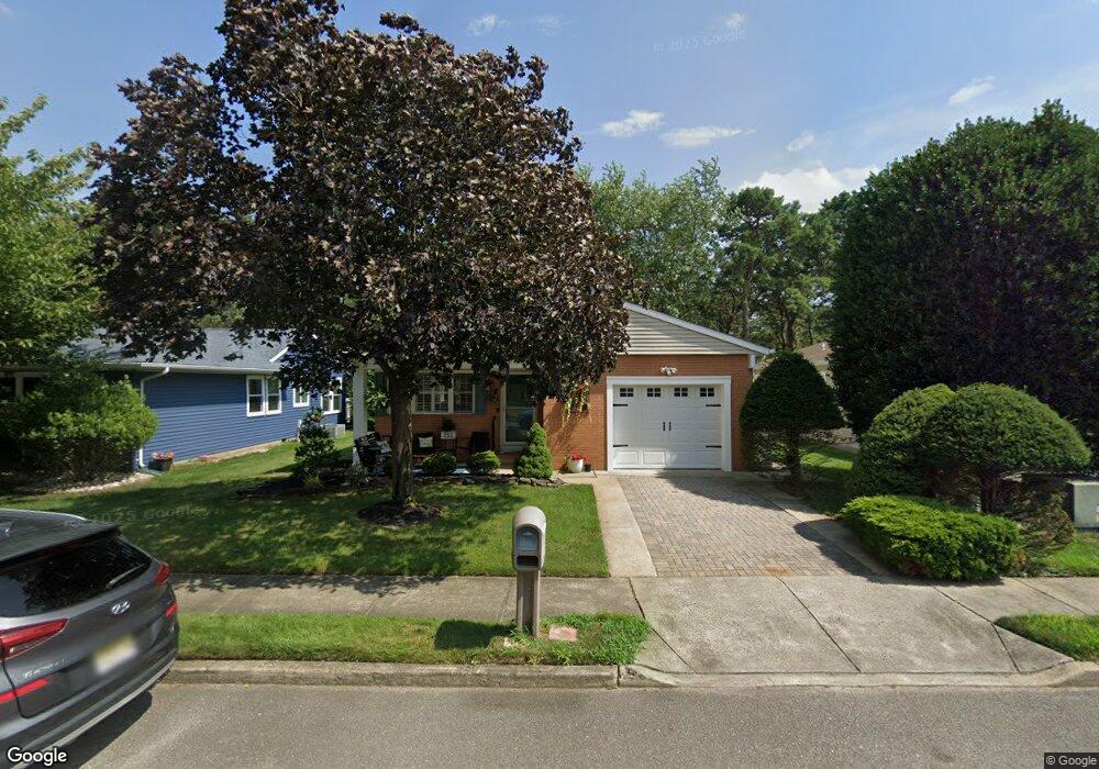
213 Freeport Blvd Toms River, NJ 08757
Estimated Value: $325,000 - $348,000
2
Beds
2
Baths
1,312
Sq Ft
$252/Sq Ft
Est. Value
About This Home
This home is located at 213 Freeport Blvd, Toms River, NJ 08757 and is currently estimated at $331,048, approximately $252 per square foot. 213 Freeport Blvd is a home located in Ocean County with nearby schools including Central Regional Middle School, Central Regional High School, and St Joseph Grade School.
Ownership History
Date
Name
Owned For
Owner Type
Purchase Details
Closed on
Dec 9, 2016
Sold by
Carrington Jeanne E
Bought by
Keane Bernard P and Carrington Jeanne E
Current Estimated Value
Purchase Details
Closed on
Jun 23, 2015
Sold by
Carrington Richard J
Bought by
Carrington Jeanne E
Purchase Details
Closed on
Dec 14, 2006
Sold by
Budzyn Mark
Bought by
Carrington Richard J and Carrington Genevieve M
Purchase Details
Closed on
Nov 12, 1997
Sold by
Dieckmann John T and Dieckmann Marilyn E
Bought by
Budzyn Boleslaw and Budzyn Olga
Create a Home Valuation Report for This Property
The Home Valuation Report is an in-depth analysis detailing your home's value as well as a comparison with similar homes in the area
Home Values in the Area
Average Home Value in this Area
Purchase History
| Date | Buyer | Sale Price | Title Company |
|---|---|---|---|
| Keane Bernard P | -- | -- | |
| Carrington Jeanne E | -- | None Available | |
| Carrington Richard J | $175,000 | Commonwealth Land Title Insu | |
| Budzyn Boleslaw | $114,000 | -- |
Source: Public Records
Tax History Compared to Growth
Tax History
| Year | Tax Paid | Tax Assessment Tax Assessment Total Assessment is a certain percentage of the fair market value that is determined by local assessors to be the total taxable value of land and additions on the property. | Land | Improvement |
|---|---|---|---|---|
| 2025 | $2,982 | $123,700 | $30,000 | $93,700 |
| 2024 | $2,870 | $123,700 | $30,000 | $93,700 |
| 2023 | $2,817 | $123,700 | $30,000 | $93,700 |
| 2022 | $2,817 | $123,700 | $30,000 | $93,700 |
| 2021 | $2,481 | $123,700 | $30,000 | $93,700 |
| 2020 | $2,757 | $123,700 | $30,000 | $93,700 |
| 2019 | $2,681 | $123,700 | $30,000 | $93,700 |
| 2018 | $2,672 | $123,700 | $30,000 | $93,700 |
| 2017 | $2,573 | $123,700 | $30,000 | $93,700 |
| 2016 | $2,559 | $123,700 | $30,000 | $93,700 |
| 2015 | $2,239 | $123,700 | $30,000 | $93,700 |
| 2014 | $2,168 | $123,700 | $30,000 | $93,700 |
Source: Public Records
Map
Nearby Homes
- 8 Panama Ct
- 34 San Carlos St
- 11 Selkirk Ave
- 201 Freeport Blvd
- 24 Selkirk Ave
- 25 San Carlos St
- 4 Portsmouth Dr
- 143 Davenport Rd
- 14 Portsmouth Dr
- 47 Selkirk Ave
- 2 Lumsden St
- 18 Olstins Ct
- 4 Otley Ct
- 71 Trent Dr
- 248 Orlando Blvd
- 77 Chesterfield Ln
- 82 Virgin Islands Dr
- 73 Chesterfield Ln
- 52 Orlando Blvd
- 15 Roxton Place