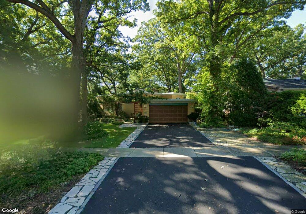
213 Hancock Ave Lake Bluff, IL 60044
Estimated Value: $600,000 - $689,000
Studio
2
Baths
1,470
Sq Ft
$435/Sq Ft
Est. Value
About This Home
This home is located at 213 Hancock Ave, Lake Bluff, IL 60044 and is currently estimated at $640,018, approximately $435 per square foot. 213 Hancock Ave is a home located in Lake County with nearby schools including Lake Bluff Elementary School, Lake Bluff Middle School, and Lake Forest High School.
Ownership History
Date
Name
Owned For
Owner Type
Purchase Details
Closed on
Jun 3, 2022
Sold by
Phillip D Ross Trust
Bought by
Webster Brian D and Ryan Kendra E
Current Estimated Value
Home Financials for this Owner
Home Financials are based on the most recent Mortgage that was taken out on this home.
Original Mortgage
$456,000
Outstanding Balance
$435,638
Interest Rate
5.75%
Mortgage Type
New Conventional
Estimated Equity
$204,380
Purchase Details
Closed on
Apr 21, 2021
Sold by
Ross Phillip D and Ross Franciszka S
Bought by
Ross Phillip D and Ross Franciszka S
Create a Home Valuation Report for This Property
The Home Valuation Report is an in-depth analysis detailing your home's value as well as a comparison with similar homes in the area
Home Values in the Area
Average Home Value in this Area
Purchase History
| Date | Buyer | Sale Price | Title Company |
|---|---|---|---|
| Webster Brian D | $620,000 | Gmt Title | |
| Ross Phillip D | -- | Attorney |
Source: Public Records
Mortgage History
| Date | Status | Borrower | Loan Amount |
|---|---|---|---|
| Open | Webster Brian D | $456,000 |
Source: Public Records
Tax History
| Year | Tax Paid | Tax Assessment Tax Assessment Total Assessment is a certain percentage of the fair market value that is determined by local assessors to be the total taxable value of land and additions on the property. | Land | Improvement |
|---|---|---|---|---|
| 2024 | $10,995 | $179,272 | $109,628 | $69,644 |
| 2023 | $9,441 | $158,902 | $97,171 | $61,731 |
| 2022 | $9,441 | $144,452 | $88,335 | $56,117 |
| 2021 | $9,106 | $143,206 | $87,573 | $55,633 |
| 2020 | $9,184 | $148,073 | $88,072 | $60,001 |
| 2019 | $8,853 | $145,355 | $86,455 | $58,900 |
| 2018 | $8,806 | $148,370 | $84,563 | $63,807 |
| 2017 | $8,727 | $145,889 | $83,149 | $62,740 |
| 2016 | $8,387 | $138,862 | $79,144 | $59,718 |
| 2015 | $8,284 | $130,756 | $74,524 | $56,232 |
| 2014 | $6,673 | $107,257 | $66,908 | $40,349 |
| 2012 | $6,349 | $108,187 | $67,488 | $40,699 |
Source: Public Records
Map
Nearby Homes
- 505 Pine Ct
- 205 Bradford Ct
- 50 W Blodgett Ave
- 510 Sunset Terrace
- 440 W Sheridan Place
- 120 E Scranton Ave Unit 103
- 120 E Scranton Ave Unit 201
- 120 E Scranton Ave Unit 202
- 120 E Scranton Ave Unit 102
- 120 E Scranton Ave Unit 203
- 117 E Washington Ave
- 1061 Green Bay Rd
- 25 Clay Ct
- 55 Trowbridge Cir
- 317 Vincent Ct
- 1650 Green Bay Rd
- 301 Belle Foret Dr
- 349 E Blodgett Ave
- 355 E Blodgett Ave
- 331 E Witchwood Ln
- 217 Hancock Ave
- 209 Hancock Ave
- 223 Hancock Ave
- 212 W Scranton Ave
- 204 W Scranton Ave
- 216 W Scranton Ave
- 214 Hancock Ave
- 626 Lincoln Ave
- 218 W Scranton Ave
- 229 Hancock Ave
- 610 Lincoln Ave
- 659 Pine Ct
- 220 W Scranton Ave
- 656 Lincoln Ave
- 233 Hancock Ave
- 230 Hancock Ave
- 658 Lincoln Ave
- 617 Lincoln Ave
- 623 Lincoln Ave
- 613 Lincoln Ave
Your Personal Tour Guide
Ask me questions while you tour the home.