Estimated Value: $230,000 - $374,000
2
Beds
1
Bath
1,590
Sq Ft
$202/Sq Ft
Est. Value
About This Home
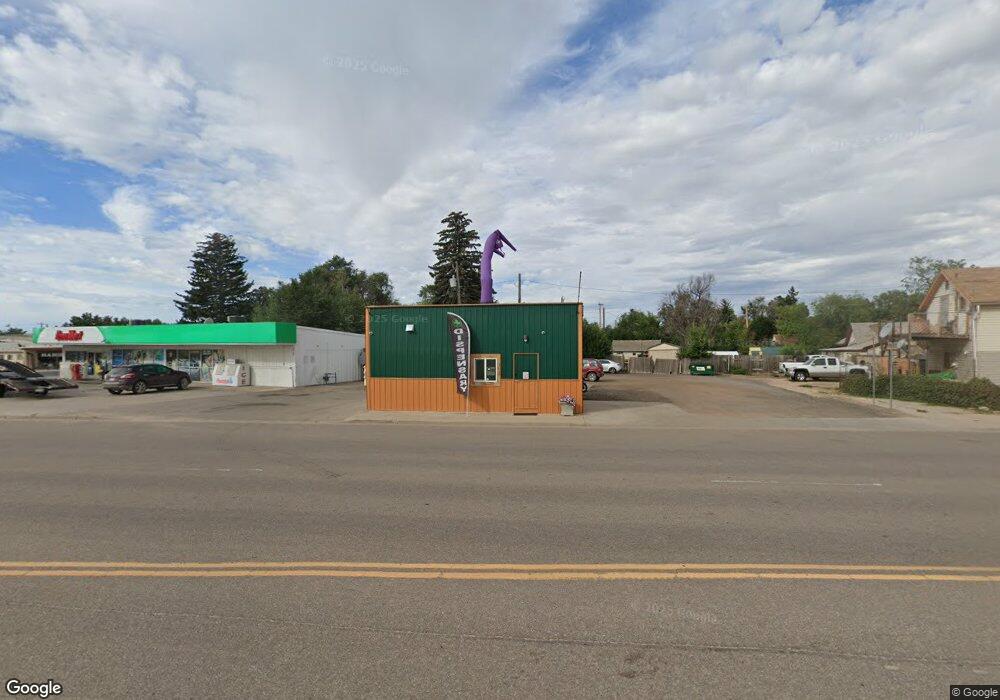
This home is located at 213 Highway 85, Ault, CO 80610 and is currently estimated at $321,150, approximately $201 per square foot. 213 Highway 85 is a home located in Weld County with nearby schools including Highland Elementary School, Highland Middle School, and Highland High School.
Ownership History
Date
Name
Owned For
Owner Type
Purchase Details
Closed on
Sep 6, 2011
Sold by
Kyne Martinez Kathy
Bought by
Kyne Kathy
Current Estimated Value
Purchase Details
Closed on
Jul 24, 1996
Sold by
Kyne Kathleen M and Kyne Kathy Kyne
Bought by
Martinez Kathy Kyne and Martinez Jose M
Purchase Details
Closed on
Jan 22, 1996
Sold by
Kyne Michael A and Kyne Kathleen M
Bought by
Kyne Kathleen M
Purchase Details
Closed on
Nov 1, 1993
Sold by
Schmidt Margaret A & Christ J
Bought by
Kyne Michael A and Kyne Kathleen M
Purchase Details
Closed on
Feb 26, 1986
Sold by
Lewis Tommie T Jr Flores Paul P
Bought by
Schmidt Margaret A & Christ J
Purchase Details
Closed on
Jan 18, 1982
Create a Home Valuation Report for This Property
The Home Valuation Report is an in-depth analysis detailing your home's value as well as a comparison with similar homes in the area
Home Values in the Area
Average Home Value in this Area
Purchase History
| Date | Buyer | Sale Price | Title Company |
|---|---|---|---|
| Kyne Kathy | -- | None Available | |
| Martinez Kathy Kyne | -- | -- | |
| Kyne Kathleen M | -- | -- | |
| Kyne Michael A | $72,000 | -- | |
| Schmidt Margaret A & Christ J | $55,000 | -- | |
| -- | -- | -- |
Source: Public Records
Tax History Compared to Growth
Tax History
| Year | Tax Paid | Tax Assessment Tax Assessment Total Assessment is a certain percentage of the fair market value that is determined by local assessors to be the total taxable value of land and additions on the property. | Land | Improvement |
|---|---|---|---|---|
| 2025 | $1,378 | $33,030 | $10,640 | $22,390 |
| 2024 | $1,378 | $33,030 | $10,640 | $22,390 |
| 2023 | $1,121 | $30,910 | $11,130 | $19,780 |
| 2022 | $1,749 | $27,990 | $11,540 | $16,450 |
| 2021 | $1,818 | $28,410 | $11,630 | $16,780 |
| 2020 | $1,134 | $17,800 | $5,580 | $12,220 |
| 2019 | $1,197 | $17,800 | $5,580 | $12,220 |
| 2018 | $1,220 | $17,880 | $4,660 | $13,220 |
| 2017 | $1,223 | $17,880 | $4,660 | $13,220 |
| 2016 | $826 | $12,330 | $5,400 | $6,930 |
| 2015 | $829 | $12,330 | $5,400 | $6,930 |
| 2014 | $827 | $12,330 | $5,400 | $6,930 |
Source: Public Records
Map
Nearby Homes
- 212 1st St
- 301 E 1st St
- 607 U S 85
- 325 E 1st St Unit 442
- 205 S 3rd Ave
- 520 Cimarron Dr
- 127 Primrose Ct
- 16627 Highway 14 Unit 3
- 701 Applegate Trail
- 294 Gila Trail
- 623 Conestoga Dr
- 603 Apex Trail
- 607 Apex Trail
- 309 Pony Express Trail
- 200 Liberty Ln
- 40632 County Road 37
- 40018 County Road 33
- 7883 County Road 84
- 17624 County Road 88
- 360 Peregrine Point