213 Hollister Ave Unit 15 Scranton, PA 18508
Providence NeighborhoodEstimated Value: $39,321 - $221,000
--
Bed
--
Bath
--
Sq Ft
7,013
Sq Ft Lot
About This Home
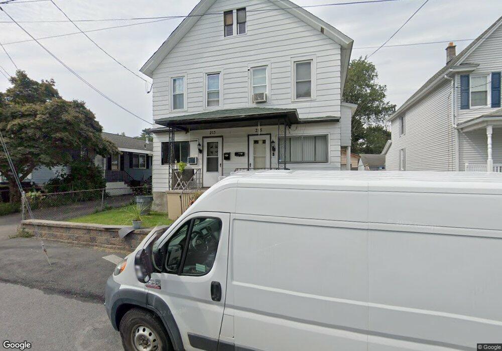
This home is located at 213 Hollister Ave Unit 15, Scranton, PA 18508 and is currently estimated at $134,080. 213 Hollister Ave Unit 15 is a home located in Lackawanna County with nearby schools including Neil Armstrong Elementary School, Pinchbeck Elementary School, and Pemberton Elementary School.
Ownership History
Date
Name
Owned For
Owner Type
Purchase Details
Closed on
Jun 1, 2016
Sold by
Cruise Patricia and Cruise Thomas G
Bought by
Cruise Thomas G
Current Estimated Value
Purchase Details
Closed on
May 12, 2016
Sold by
Boyd Mary and Boyd Teddy A
Bought by
Cruise Patricia
Purchase Details
Closed on
Oct 15, 2013
Sold by
Fornaszweski Randy
Bought by
Cruise Patricia and Boyd Mary
Create a Home Valuation Report for This Property
The Home Valuation Report is an in-depth analysis detailing your home's value as well as a comparison with similar homes in the area
Home Values in the Area
Average Home Value in this Area
Purchase History
| Date | Buyer | Sale Price | Title Company |
|---|---|---|---|
| Cruise Thomas G | $21,595 | Attorney | |
| Cruise Patricia | $22,000 | Attorney | |
| Cruise Patricia | $875 | None Available |
Source: Public Records
Tax History Compared to Growth
Tax History
| Year | Tax Paid | Tax Assessment Tax Assessment Total Assessment is a certain percentage of the fair market value that is determined by local assessors to be the total taxable value of land and additions on the property. | Land | Improvement |
|---|---|---|---|---|
| 2025 | $2,367 | $7,000 | $1,700 | $5,300 |
| 2024 | $2,171 | $7,000 | $1,700 | $5,300 |
| 2023 | $2,171 | $7,000 | $1,700 | $5,300 |
| 2022 | $2,124 | $7,000 | $1,700 | $5,300 |
| 2021 | $2,124 | $7,000 | $1,700 | $5,300 |
| 2020 | $2,086 | $7,000 | $1,700 | $5,300 |
| 2019 | $1,965 | $7,000 | $1,700 | $5,300 |
| 2018 | $1,965 | $7,000 | $1,700 | $5,300 |
| 2017 | $1,932 | $7,000 | $1,700 | $5,300 |
| 2016 | $663 | $7,000 | $1,700 | $5,300 |
| 2015 | $1,470 | $7,000 | $1,700 | $5,300 |
| 2014 | -- | $7,000 | $1,700 | $5,300 |
Source: Public Records
Map
Nearby Homes
- 193 W Parker St
- 121 Throop St
- 35 Dean St
- 2219 Golden Ave
- 2706 N Main Ave
- 2136 N Main Ave
- 2724 N Main Ave
- 119 Spring St
- 2105 Belmont Terrace
- 2113 Golden Ave
- 2089 N Main Ave
- 2040 Edna Ave
- 2040 Margaret Ave Unit 2042
- 2129 Comegys Ave Unit L11
- 601 Dean St
- 332 Spring St
- 337 Spring St
- 231 Gaston Place
- 2237 Boulevard Ave
- 2326 Durkin Ave Unit L 4
- 211 Hollister Ave
- 221 Hollister Ave
- 2507 Hollister Ave
- 2517R Hollister Ave
- 2517 Hollister Ave
- 2517 Hollister Ave Unit R
- 227 Hollister Ave Unit 229
- 166 W Parker St
- 227-229 Hollister Ave
- 160 W Parker St
- 201 Hollister Ave
- 145 Throop St
- 168 W Parker St
- 164 W Parker St
- 141 Throop St Unit 1
- 141 Throop St Unit 2
- 141 Throop St
- 144 Throop St
- 231 Hollister Ave
- 170 W Parker St