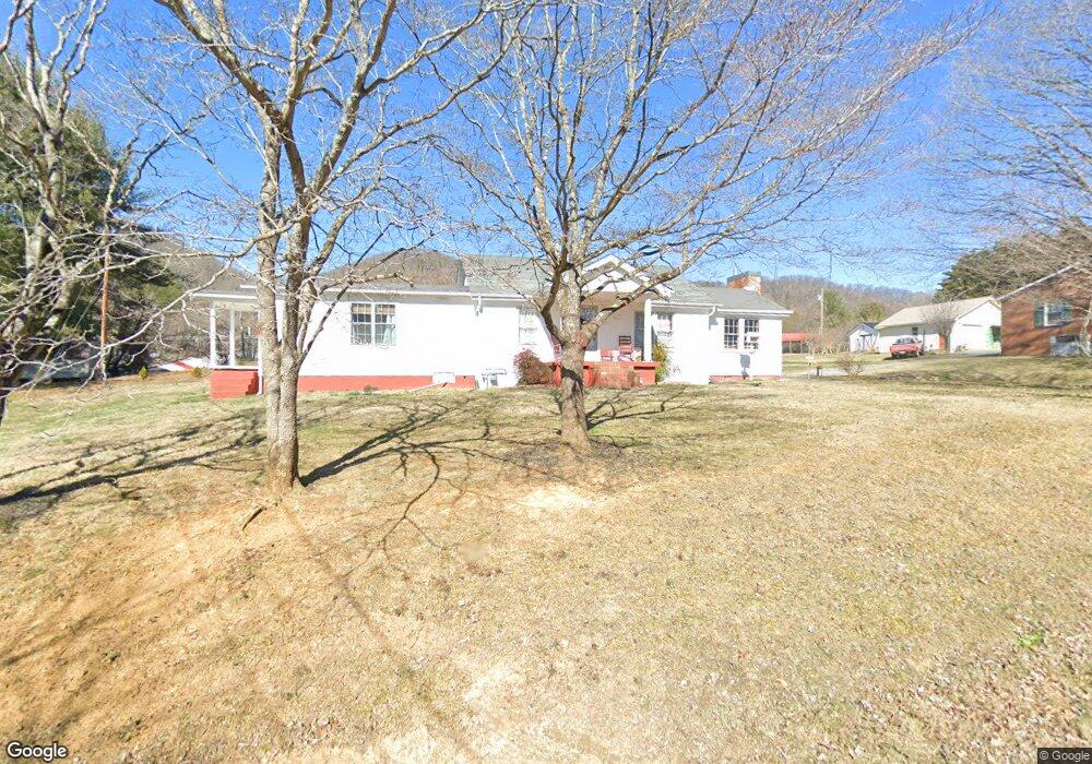
213 Holston Cir Rogersville, TN 37857
Estimated Value: $119,000 - $204,000
--
Bed
2
Baths
1,619
Sq Ft
$109/Sq Ft
Est. Value
About This Home
This home is located at 213 Holston Cir, Rogersville, TN 37857 and is currently estimated at $175,867, approximately $108 per square foot. 213 Holston Cir is a home located in Hawkins County with nearby schools including Rogersville Elementary School.
Ownership History
Date
Name
Owned For
Owner Type
Purchase Details
Closed on
Dec 13, 2004
Sold by
Carpenter David G
Bought by
Lee Carpenter Diane
Current Estimated Value
Home Financials for this Owner
Home Financials are based on the most recent Mortgage that was taken out on this home.
Original Mortgage
$38,000
Outstanding Balance
$18,954
Interest Rate
5.67%
Estimated Equity
$156,913
Purchase Details
Closed on
Jul 24, 2000
Sold by
Lynn Courtney Ronald
Bought by
Carpenter David G
Purchase Details
Closed on
Mar 6, 1948
Bought by
Carpenter David G and Nettie Lee
Create a Home Valuation Report for This Property
The Home Valuation Report is an in-depth analysis detailing your home's value as well as a comparison with similar homes in the area
Home Values in the Area
Average Home Value in this Area
Purchase History
| Date | Buyer | Sale Price | Title Company |
|---|---|---|---|
| Lee Carpenter Diane | $40,000 | -- | |
| Carpenter David G | $1,000 | -- | |
| Carpenter David G | -- | -- |
Source: Public Records
Mortgage History
| Date | Status | Borrower | Loan Amount |
|---|---|---|---|
| Open | Carpenter David G | $38,000 |
Source: Public Records
Tax History Compared to Growth
Tax History
| Year | Tax Paid | Tax Assessment Tax Assessment Total Assessment is a certain percentage of the fair market value that is determined by local assessors to be the total taxable value of land and additions on the property. | Land | Improvement |
|---|---|---|---|---|
| 2024 | $726 | $28,400 | $7,650 | $20,750 |
| 2023 | $660 | $28,400 | $0 | $0 |
| 2022 | $1,080 | $28,400 | $7,650 | $20,750 |
| 2021 | $1,142 | $28,400 | $7,650 | $20,750 |
| 2020 | $1,036 | $32,100 | $7,650 | $24,450 |
| 2019 | $1,036 | $24,650 | $6,875 | $17,775 |
| 2018 | $1,036 | $24,650 | $6,875 | $17,775 |
| 2017 | $1,036 | $24,650 | $6,875 | $17,775 |
| 2016 | $1,036 | $24,650 | $6,875 | $17,775 |
| 2015 | $1,019 | $24,650 | $6,875 | $17,775 |
| 2014 | $1,023 | $24,750 | $6,875 | $17,875 |
Source: Public Records
Map
Nearby Homes
- 403 Pine St
- 410 N Armstrong St
- 500 W Main St
- 112 Marion St
- 307 Gibson St
- 404 Market St
- 401 Gibson St
- 108 S Rogers St
- 100 Brewer St
- 1209 W Main St
- 1140 Bradford St
- 610 N Hasson St
- TBD W Broadway W
- 122 S Church St Unit 1
- 306 S Church St
- 416 N Church St
- 4670 Tennessee 66
- Tbd Highway 66 S
- E Madeline Ln
- 210 Klepper Ln
- 215 Holston Cir
- 507 Holston Cir
- 509 Miner St
- 520 Brummit St
- 520 Brummit St Unit 1
- 219 Holston Cir
- 511 Miner St
- 507 Miner St
- 285 Holston Cir
- 218 Holston Cir
- 515 Holston Cir
- 518 Brummit St
- 505 Miner St
- 614 Brummit St
- 517 Miner St
- 509 Holston Cir
- 215 Holston St
- 160 Holston St
- 603 Brummit St
- 206 Henard St