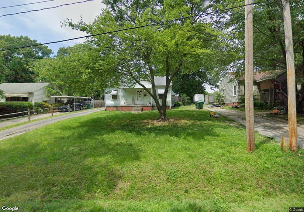
213 Irbywood Dr High Point, NC 27262
Greater High Point NeighborhoodEstimated Value: $90,000 - $148,000
2
Beds
1
Bath
744
Sq Ft
$158/Sq Ft
Est. Value
About This Home
This home is located at 213 Irbywood Dr, High Point, NC 27262 and is currently estimated at $117,281, approximately $157 per square foot. 213 Irbywood Dr is a home located in Guilford County with nearby schools including Johnson Street Global Studies, Welborn Academy of Science & Technology, and High Point Central High School.
Ownership History
Date
Name
Owned For
Owner Type
Purchase Details
Closed on
Jan 24, 2014
Sold by
Estate Of Phillip E Teer
Bought by
Jennings Wesley Dale
Current Estimated Value
Purchase Details
Closed on
Nov 3, 2003
Sold by
Cox Sylvia J Hill and Cox Howard W
Bought by
Teer Phillip E and Teer Doris J Rakes
Home Financials for this Owner
Home Financials are based on the most recent Mortgage that was taken out on this home.
Original Mortgage
$55,000
Interest Rate
6.03%
Mortgage Type
Purchase Money Mortgage
Create a Home Valuation Report for This Property
The Home Valuation Report is an in-depth analysis detailing your home's value as well as a comparison with similar homes in the area
Home Values in the Area
Average Home Value in this Area
Purchase History
| Date | Buyer | Sale Price | Title Company |
|---|---|---|---|
| Jennings Wesley Dale | $28,000 | None Available | |
| Teer Phillip E | $58,000 | -- |
Source: Public Records
Mortgage History
| Date | Status | Borrower | Loan Amount |
|---|---|---|---|
| Previous Owner | Teer Phillip E | $55,000 |
Source: Public Records
Tax History Compared to Growth
Tax History
| Year | Tax Paid | Tax Assessment Tax Assessment Total Assessment is a certain percentage of the fair market value that is determined by local assessors to be the total taxable value of land and additions on the property. | Land | Improvement |
|---|---|---|---|---|
| 2025 | $765 | $55,500 | $15,000 | $40,500 |
| 2024 | $765 | $55,500 | $15,000 | $40,500 |
| 2023 | $765 | $55,500 | $15,000 | $40,500 |
| 2022 | $748 | $55,500 | $15,000 | $40,500 |
| 2021 | $579 | $42,000 | $12,000 | $30,000 |
| 2020 | $579 | $42,000 | $12,000 | $30,000 |
| 2019 | $579 | $42,000 | $0 | $0 |
| 2018 | $576 | $42,000 | $0 | $0 |
| 2017 | $579 | $42,000 | $0 | $0 |
| 2016 | $711 | $50,700 | $0 | $0 |
| 2015 | $715 | $50,700 | $0 | $0 |
| 2014 | $727 | $50,700 | $0 | $0 |
Source: Public Records
Map
Nearby Homes
- 1740 N Hamilton St Unit G
- 1704 N Hamilton St Unit D
- 1712 N Hamilton St Unit B
- 1714 N Hamilton St Unit B
- 1714 N Hamilton St Unit A
- 1507 Larkin St
- 1700 Long St
- 1428 Futrelle Dr
- 101 Oxford Place Unit 10
- 321 Rockspring Rd
- 325 Rockspring Rd
- 323 Rockspring Rd
- 327 Rockspring Rd
- 331 Rockspring Rd
- 333 Rockspring Rd
- 335 Rockspring Rd
- 337 Rockspring Rd
- 315 Rockspring Rd
- 317 Rockspring Rd
- 313 Rockspring Rd
- 211 Irbywood Dr
- 215 Irbywood Dr
- 209 Irbywood Dr
- 217 Irbywood Dr
- 207 Irbywood Dr
- 219 Irbywood Dr
- 212 Irbywood Dr
- 214 Irbywood Dr
- 218 Irbywood Dr
- 210 Irbywood Dr
- 206 Irbywood Dr
- 205 Irbywood Dr
- 204 Irbywood Dr
- 203 Irbywood Dr
- 1813 Welborn St
- 1820 Welborn St
- 1822 Welborn St
- 1818 Welborn St
- 200 Irbywood Dr
- 1816 Welborn St